This walk was created for the 20th anniversary of The Darling Buds of May, a series that captured the hearts of Britain. The Darling Buds of May idolises the life of a family, living on a small holding in rural Kent.
Set in the 1950s, the village of Pluckley in Kent and the surrounding countryside provided the main backdrop for the series. The Darling Buds of May – Garden of England Trail leaflet is now available to view online, which will transport you back to the 1950s as you walk in the footsteps of the Larkins and visit some of the modern award winning local food and drinks producers, rural attractions and rolling countryside that keep Kent crowned The Garden of England.
Read The Darling Buds of May guide online
The 12 or 13 ghosts reported to have been seen in the village include a highwayman, a coach and horses, a miller, a white lady and a red lady.
Possibly more memorable for most people, is the fact that the village provided a setting for the 1990s television series, The Darling Buds of May. The popular programmes were based on the writings of H.E. Bates, who knew the area well.
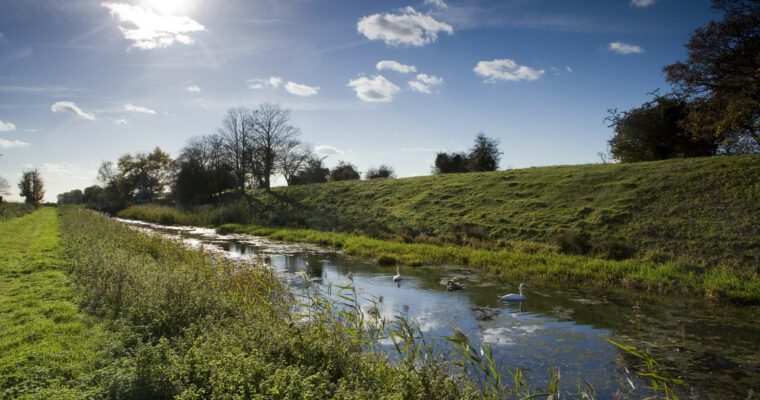
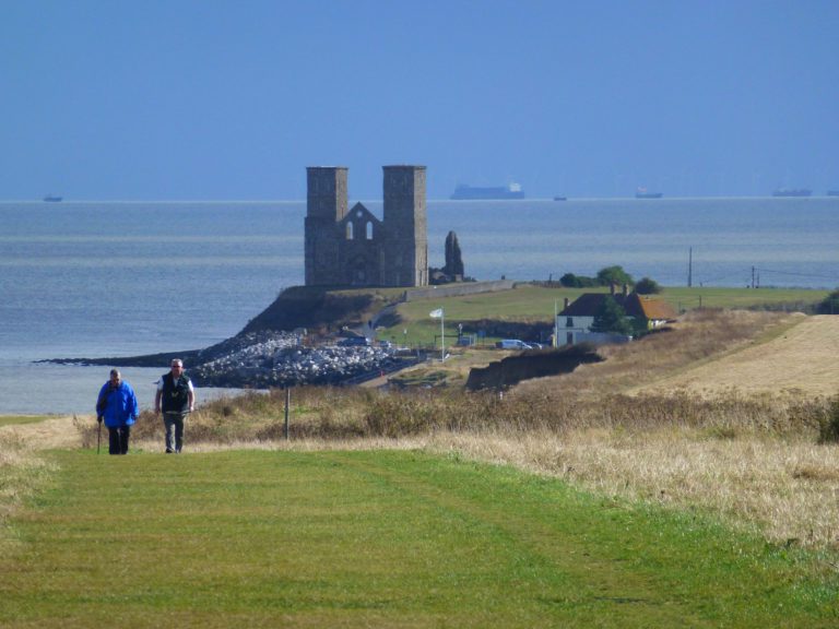
This small village sits right on the edge of the North Downs. There is evidence that a Roman road once passed through the area and the village appears to have played its part in the Weald iron smelting industry.
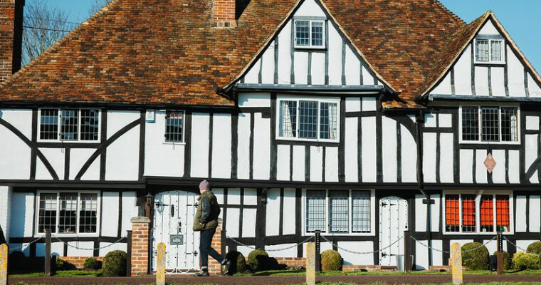
Weaving was also important in the area, taking advantage of the wool from local sheep. It has been suggested that most textile workers were based in their own homes and that is why many of the cottages have particularly high ceilings.
If there is a little time to spare, the village station is well worth a visit. It first opened in 1842 and remains relatively unchanged.
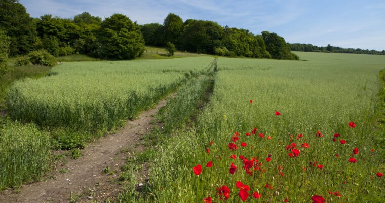
This pleasant walk across gentle slopes takes place in classic Kent orchards and hop gardens. The route joins the Greensand Way as the circular walk brings you back into the village.
Step by step guide
1. From the church, walk down The Street past school and pub to main road. Beware of traffic. Turn left on Forge Hill and cross over to right hand side to follow Greensand Way signpost down bridleway
2. Follow surfaced track past houses and pass through gate into field. Continue ahead and go through 2 more gates in close succession. Follow waymarking arrows across the field, heading for another gate (keep dogs on a lead if livestock are present).
3. Go through a fourth gate to follow path as indicated by waymarking arrow, bearing left to head towards a gate in the corner of the field.
4. After passing through gate, turn right along path. A few metres on, bear right to head towards trees until you come to a gate.
5. Go through gate and into a field. Follow along left boundary heading for a gate to the left of the house in the corner of the field. Follow path across driveway to end of track.
6. Turn right to follow byway. In summer months the path may be overgrown in a few places. Towards the end, pass houses along a driveway.
7. Beware of traffic. Cross road to join path through gap in fence and cross field, heading for corner of hedgerow ahead, and beyond that, a stile.
8. Cross stile into field and continue straight ahead, heading to right of farm buildings. Follow arrows down some steps to driveway, through a gate and continue past houses to road.
9. Beware of traffic. At road turn left and cross to gate on the other side (opposite houses). Go through gate and turn right, follow along right hand side boundary to sign post on right.
10. Follow track as indicated by sign post across field towards woods. Go through gap to follow path through wood.
11. On exiting woods continue straight ahead on path crossing field. Upon reaching field edge, turn right to follow the boundary to the road.
12. Beware of traffic. At the road, follow signposting for the Stour Valley Walk, past the Swan Inn pub. Go up steps opposite pub car park (marked by Greensand Way sign post) and follow path bearing right – not straight on past church.
13. Following Greensand Way signs, go through gap in hedge into orchard and follow path through trees until you reach another gap in hedge. Go through this gap and on through another until you reach a clearing with three large trees. Turn right and follow the boundary edge, looking out for a stile in the hedgeline on the right.
14. Go over stile and cross over track to continue ahead. Follow arrows down bank out of orchard on to enclosed path crossing over 3 stiles to a road.
15. Beware of traffic. Cross over road and go through gap into orchard. Walk straight ahead, following along the hedge to your left and passing a number of houses on your right. Continue through orchards for approximately 750 metres.
16. Go through gap into recreation ground and cross the field. Beware of traffic. Go through gate to meet main road and turn left. Take the first left to walk into The Street to make your way back to the church.