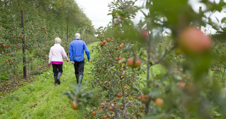
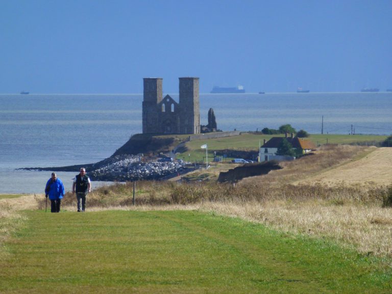
Appledore walk
The Saxon Shore Way marks the line of the former cliffs before the marshes were drained. It is hard to imagine that much of the open landscape attracting walkers today was once underwater.
Built as a defence against Napoleon, but never used, the Royal Military Canal is now a popular destination for walkers and local anglers.
Kingfishers are seen here in summer and mute swan, moorhen and grey heron are regular visitors.
A scheduled monument, the canal is now an essential part of the drainage system sustaining the marshes, the wildlife that thrives in these unusual habitats and the flocks of sheep that graze on the marsh grasses.
However, not all the species to be discovered on the marsh are native.
For example, the marsh frog, frequently called the laughing frog, which can be found right across Romney Marsh. It is said to have come from just 12 Hungarian frogs introduced to a garden pond in Stone-in-Oxney in 1932. The frogs escaped on to the marsh and have flourished ever since.
For more information about Romney Marsh, its wildlife and its history,
visit the Romney Marsh Countryside Partnership website by clicking on this link below.
Step by step guide
1. Starting outside Appledore Church facing Court Lodge Road, turn right to walk along the pavement past the Black Lion Pub along the high street, until you reach the recreation ground.
2. Follow Saxon Shore Way signpost between fence and public toilets, onto recreation ground. Cross recreation ground diagonally - heading for the left hand corner.
3. Go through gate into the field, turn left and follow waymarker for stile in the corner of the field. Cross stile and bridge into another field. Continue across field to stile on fenceline ahead.
4. Cross over stile into field and follow waymarked path under overhead wires heading towards mound ahead.
5. Follow waymarked trail over mound. There are great views of Romney Marsh from the top. Go down other side of mound to continue along path. Follow waymarker arrows to the right to walk with line of trees to your left. Bear left at the end of the line of trees to follow path across another field.
6. Cross narrow bridge across ditch and follow path ahead across another field.
7. Come out of field and turn right at the road. After a few steps, follow signpost on left. Climb up steps into another field and follow path along the boundary of the vineyard.
8. Follow path down steps to cross wooded area. Continue ahead up steps and through gate on other side. A few steps on, pass through another gate into a field. Follow waymarking along right hand side boundary to road. Beware of rabbit holes in ground.
9. Go through gate into road. Turn left and walk for about 10m before turning right through gate into a field. Follow the boundary around to left until you reach a gate at the church.
10. Turn right to follow footpath waymarking across field. Head across field with church behind you, continuing towards pylons until you reach boundary and stile.
11. Cross over stile into field and follow waymarking directly across, heading for building on right ahead. Cross over stile and small bridge into road before turning left to head down road.
12. Just before the bridge, turn right to go through kissing gate to follow the Royal Military Canal path. You can either follow the path up on the embankment or on the grass below. Beware of rabbit holes in ground. Come to fence/gate - go through kissing gate to left to continue on.
13. Follow path past WWII pill-box. Keep on bank to follow path alongside the canal for 500 metres, to another fence and kissing gate on left. Pass through gate to continue ahead.
14. Just after passing under overhead wires, look for a small bridge on the right. Cross bridge and stile to follow enclosed path. Follow this path as it becomes a surfaced track to road (named Old Way). Turn left to make your way back to the church where you started.