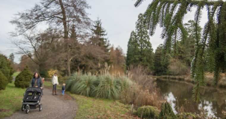
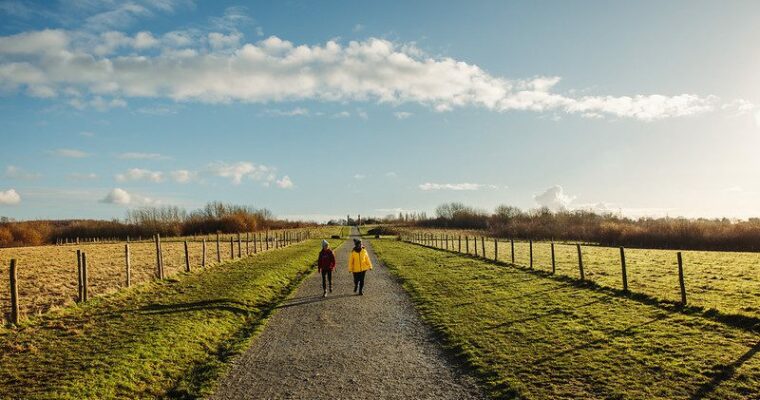
Hemsted Forest Stile Free Trail

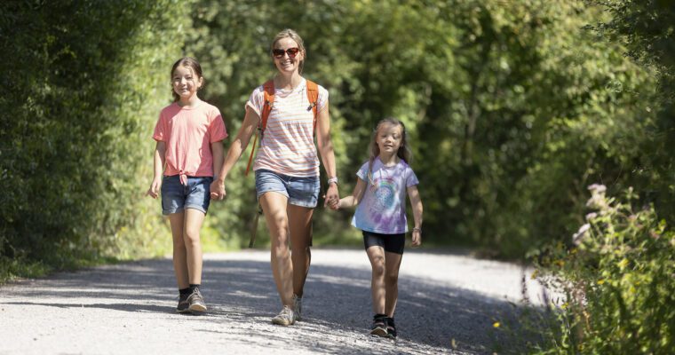
Our stile free routes are suitable for a wide range of users including those in mobility scooters and families with younger children.
At Explore Kent, we aim to provide detailed information about our routes to give you a clear idea of what to expect. Please be mindful that our stile free routes are located in the countryside and the path surfaces can be adversely affected by poor weather conditions. Certain routes may be better suited for wheelchairs with wider wheels, as they can handle the terrain more easily compared to other wheelchairs. We encourage you to read about the trails, and to assess them if you feel confident in completing them yourself.
If you would like more information on accessibility, please email explorekent@kent.gov.uk
Route information:
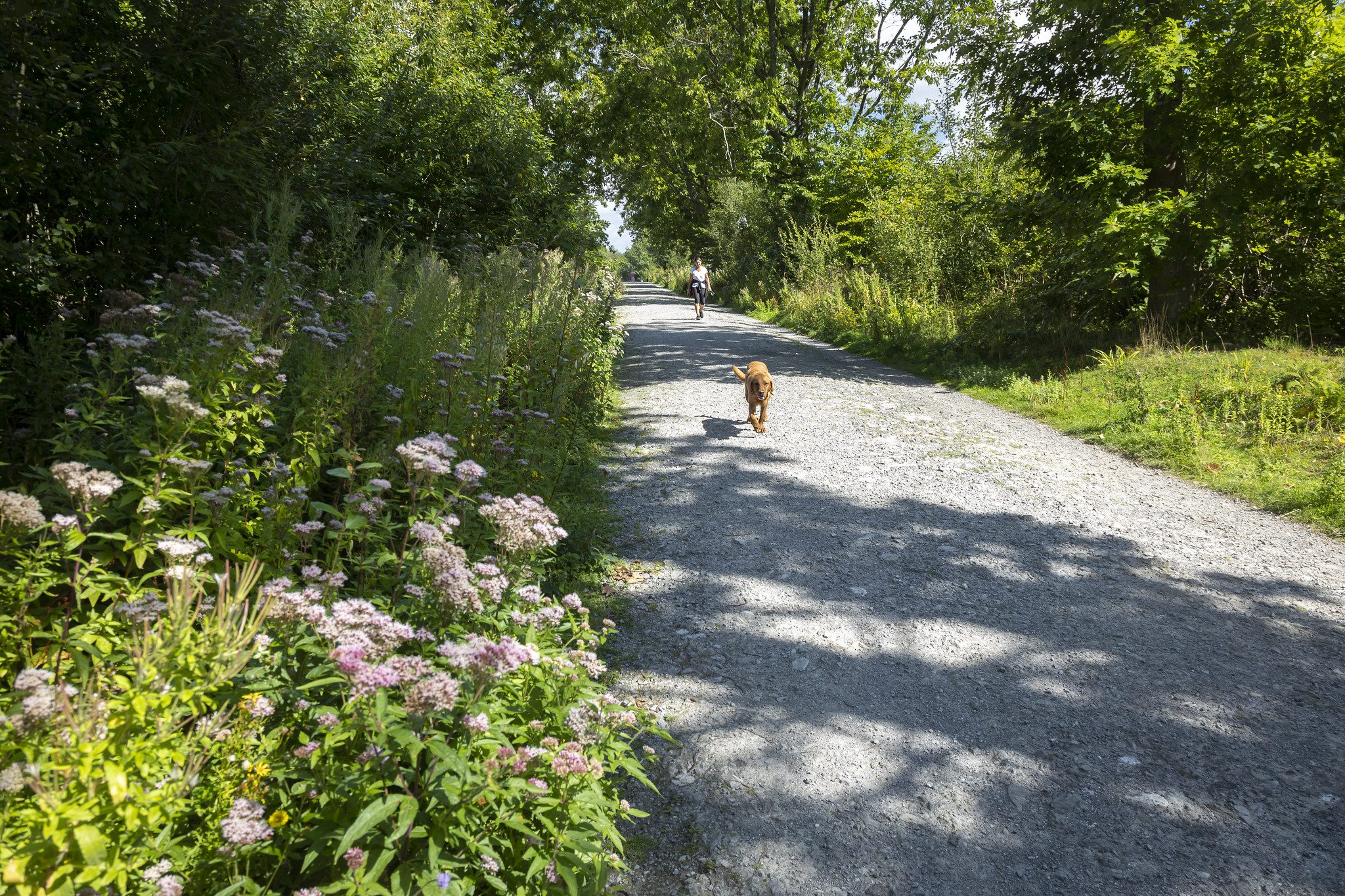
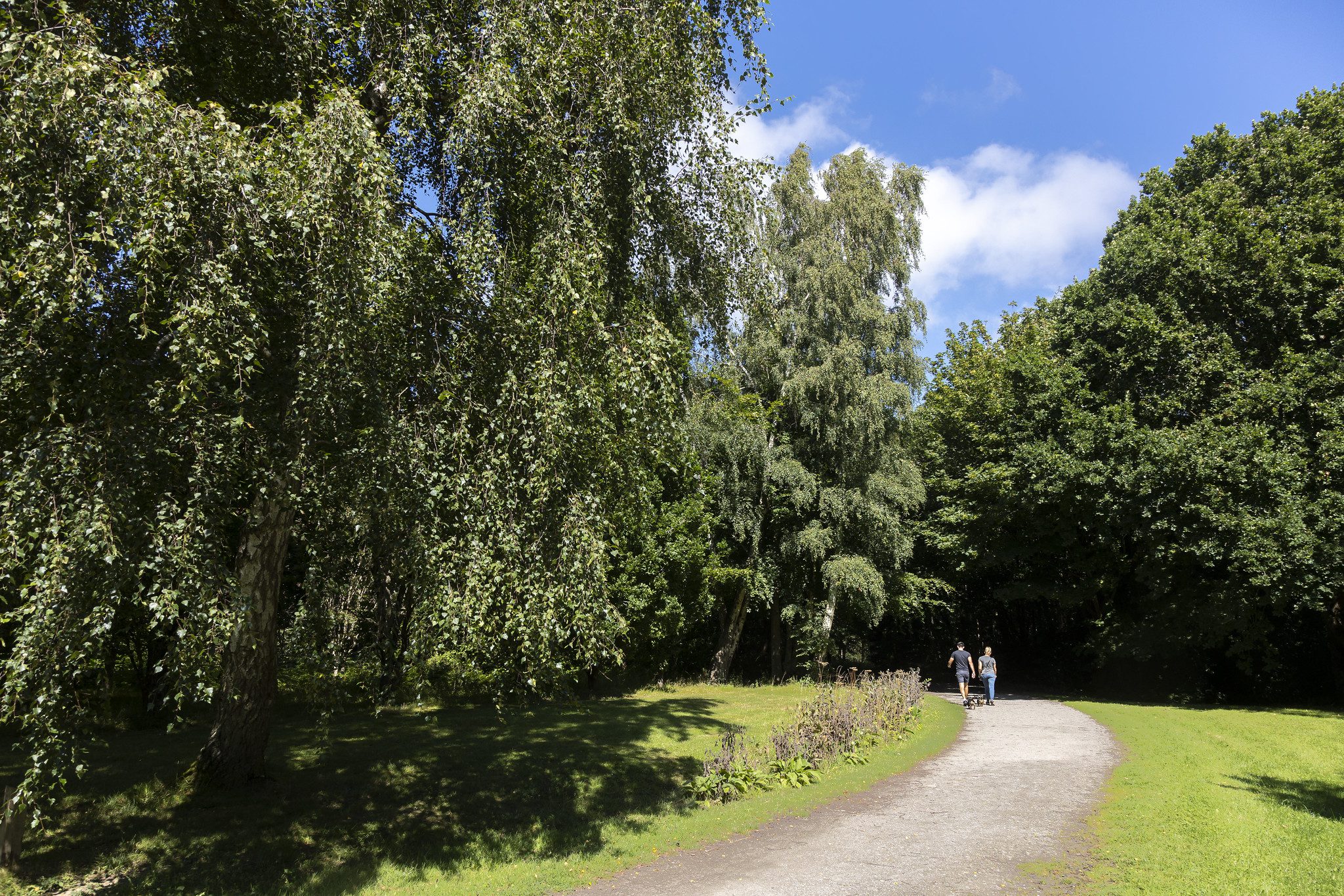
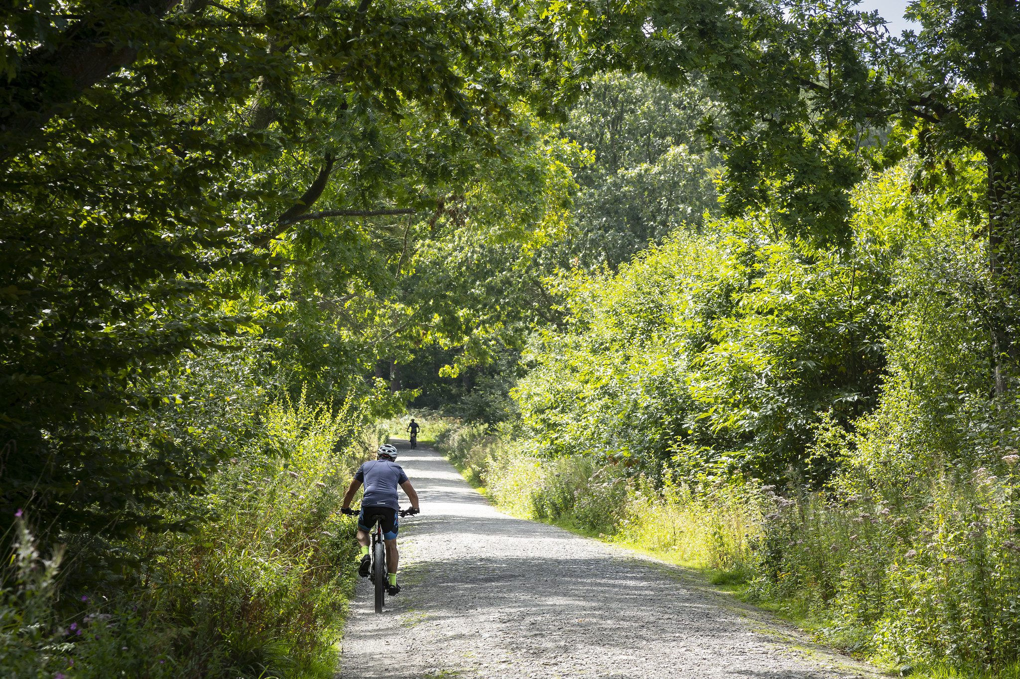
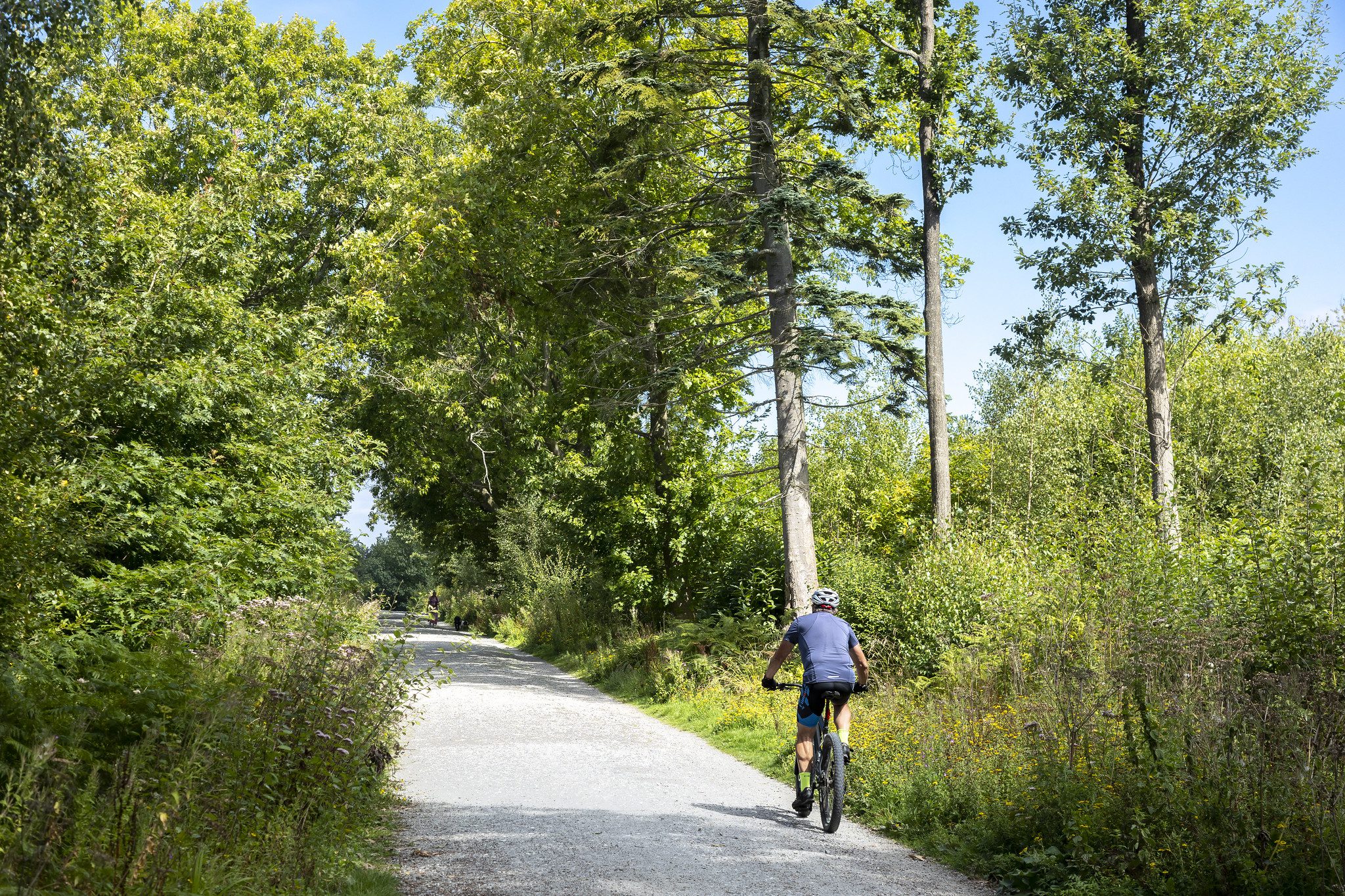
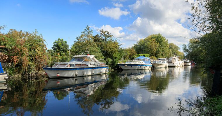
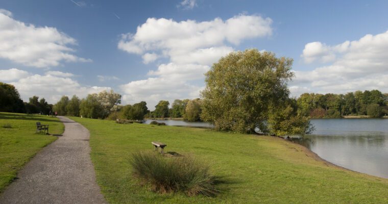
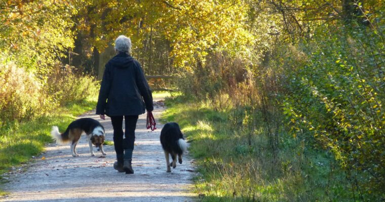
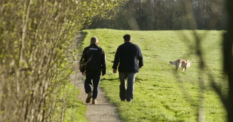
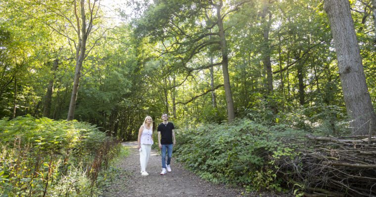
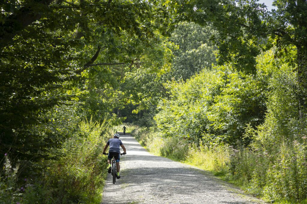
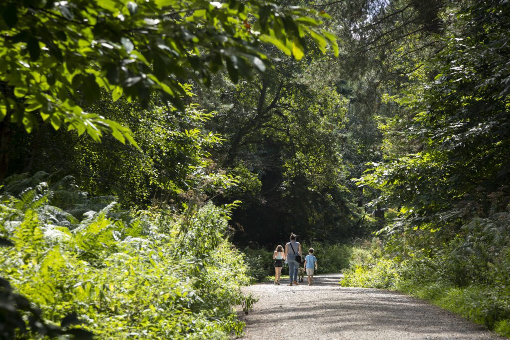
This is a fine, accessible Wealden woodland route along generous paths. Hemsted Forest Country Park is very popular with cyclists and riders, as well as walkers and dog owners. Managed by the Forestry Commission, it is working woodland and as such, it is important to look out for warning signs about activities being undertaken.
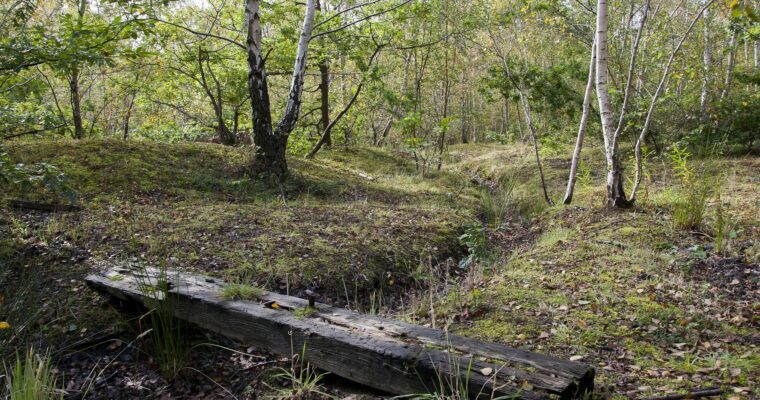
A victim of the hurricane of 1987, Hemsted Forest has subsequently had many trees replanted by the local community. Areas were also cleared of mature conifers in 2000 and replanted in 2003 with Douglas fir. The dense foliage attracts numerous birds and dormice are known to thrive in this habitat.
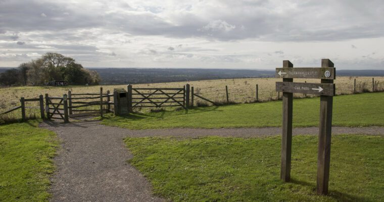
The paths are wide, but with continual climbs and descents for the first half of the walk, including a 20% slope up from the car park entrance to the start of the walk.
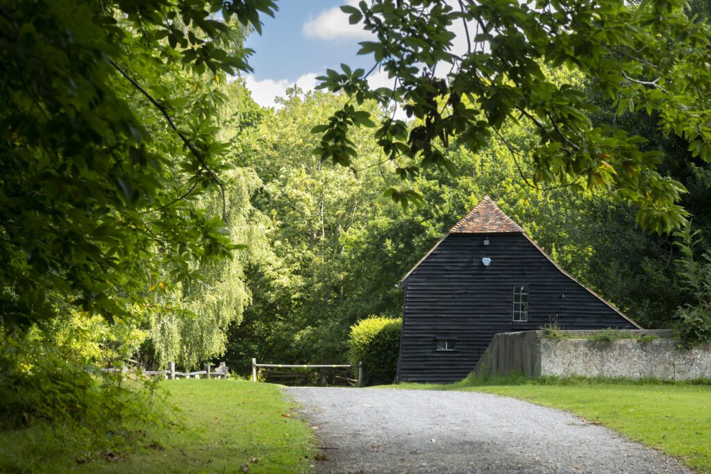
The hard stone surface, which generally diminishes in quality after the farmhouse, is coarse in places (up to 60mm), with occasional potholes (up to 40mm) and cross slopes (up to 8%).
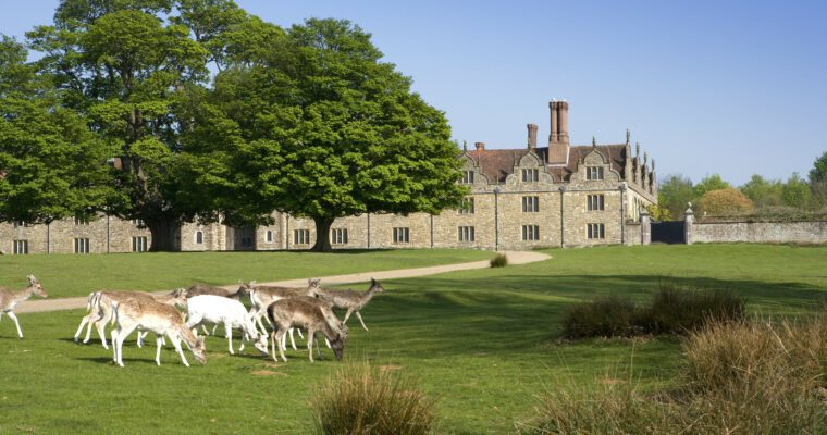
The nearby village of Benenden is one of the few settlements in the Weald to be mentioned in the Domesday Book. It is known for its thriving community, village green, historic buildings and pubs.
Step by step guide
1. To access the forest track you can either retrace your steps to the height restriction barrier (20% uphill climb), or take one of the paths across the grass.
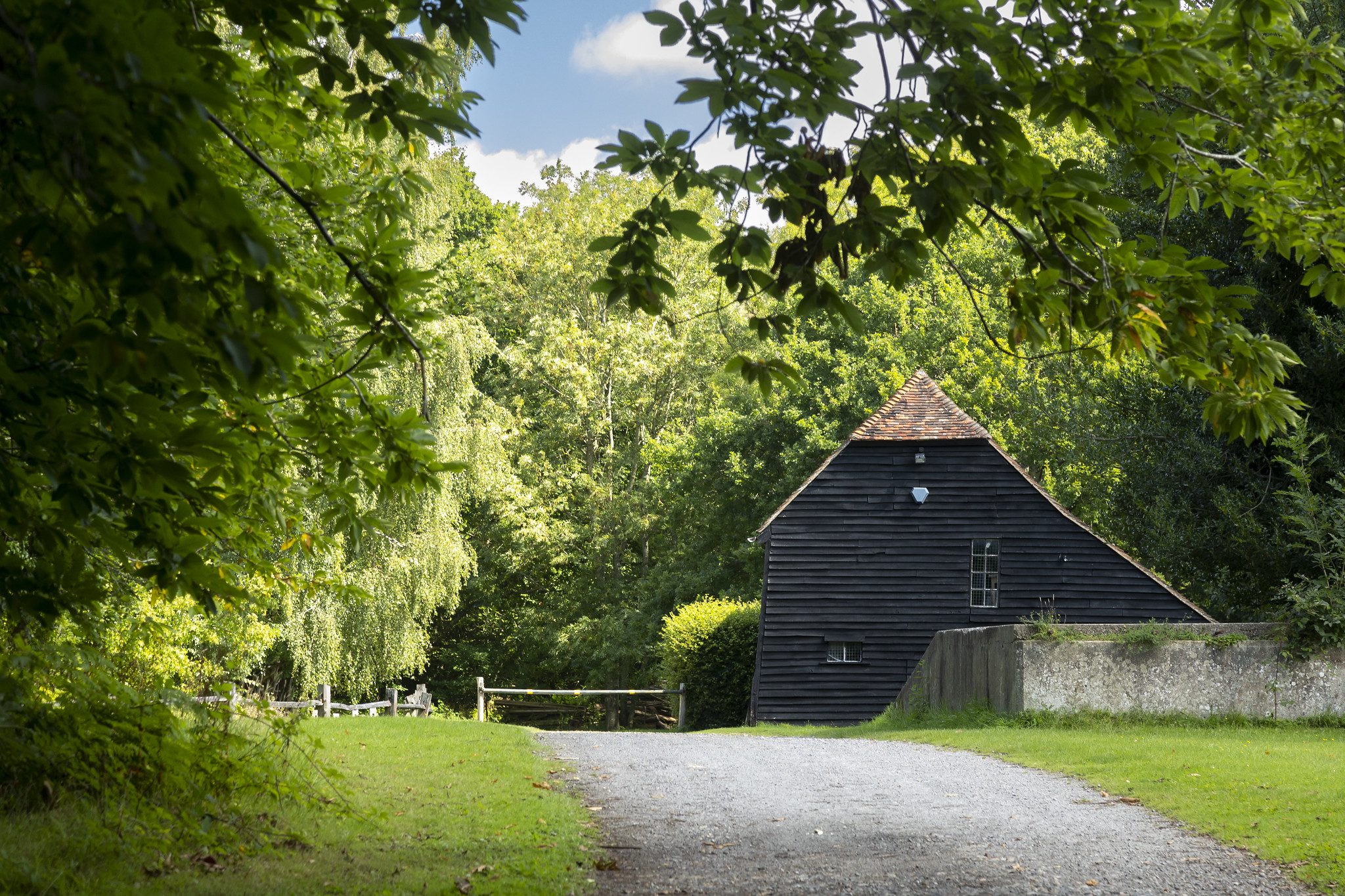
2. Continue ahead on the forest road ignoring all side paths to reach the farmhouse.
3. Carry on, passing to the left of the barrier, until you reach a T-junction.
4. Turn right and continue on the forest road bearing to the left, ignoring all side paths, until you reach a fork in the road.
5. Take the left-hand fork which bears immediately to the right and continue ahead to reach a barrier.
6. From the barrier retrace your steps back to the car park.
