Royal Military Canal – West Hythe to Hythe
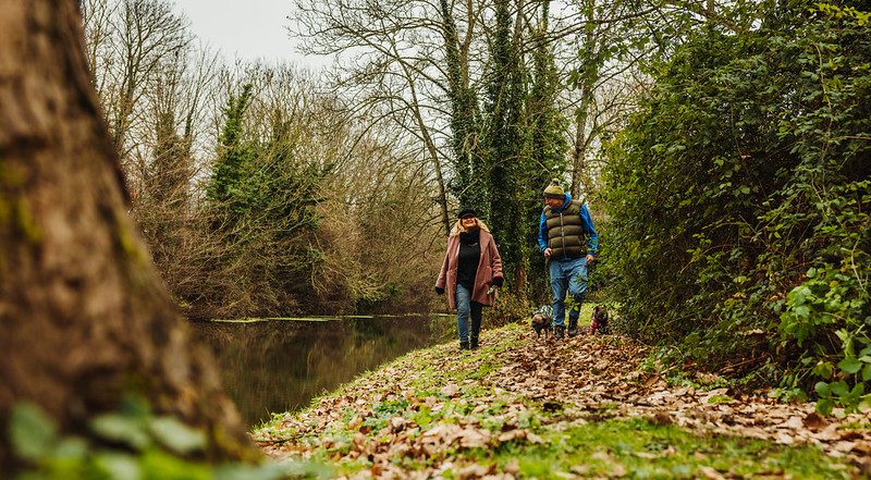
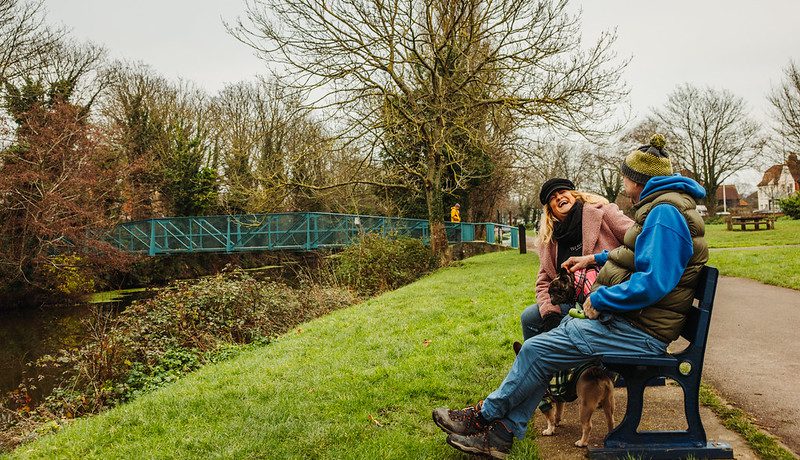
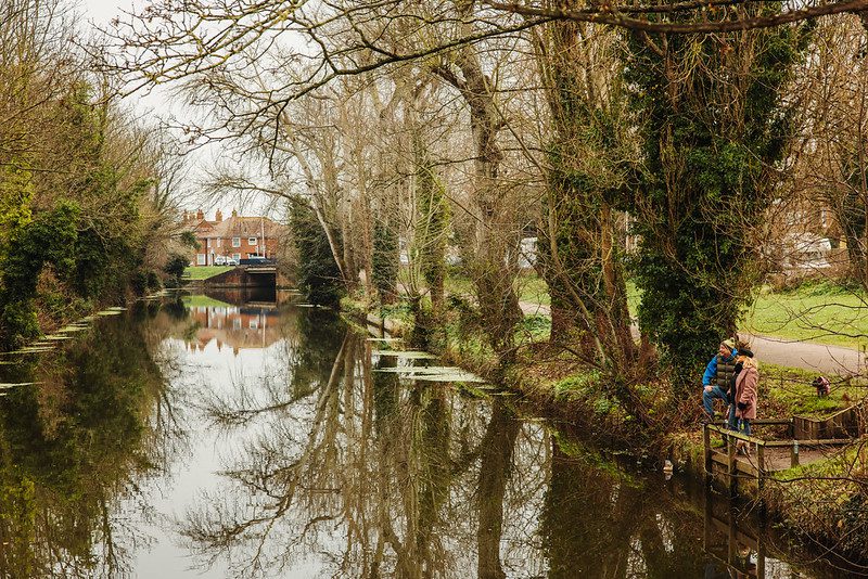
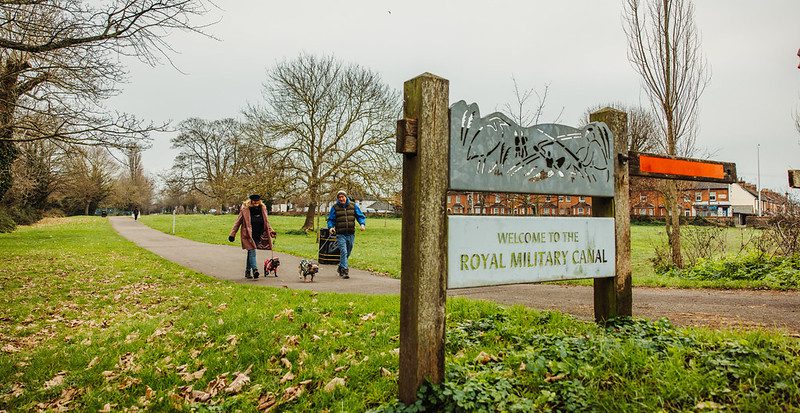
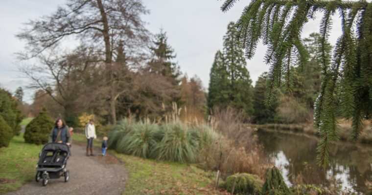
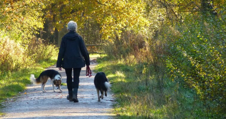
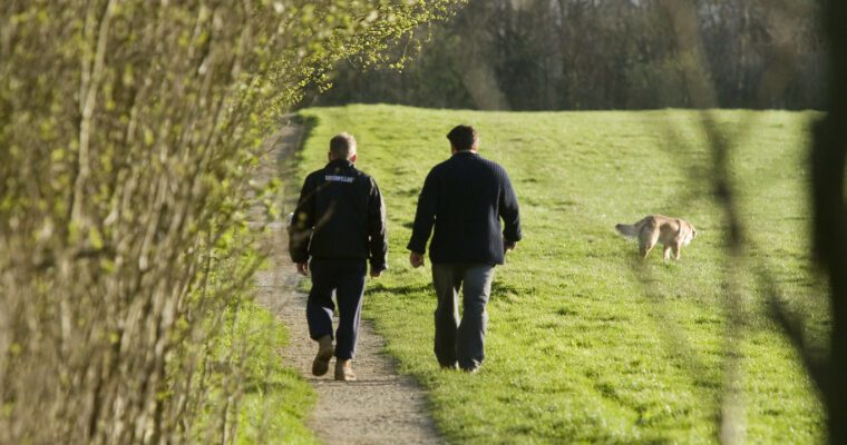
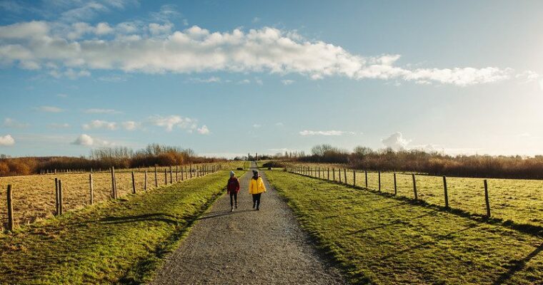
Take an easy going walk along the tranquil Royal Military Canal taking in the area’s diverse wildlife, birdlife and plantlife. Setting out from West Hythe, you can choose from a shorter route up to Palmarsh bridge before crossing the bridge and retracing your route back to West Hythe or continue along the towpath and along a quiet country lane to reach Hythe – the starting point of the Romney, Hythe and Dymchurch steam railway.
Let off some steam!
On days when the trains are running, you are likely to see a spot of steam from the heritage trains heading towards the canal – this is a wonderful reminder of the historical bygone age of canal and steam power – days which are long gone! The railway, the dream of millionaire racing drivers, Captain J.E.P. Howey and Count Louis Zborowski, was built in the 1920s and later extended to its current route, which runs to Dungeness.
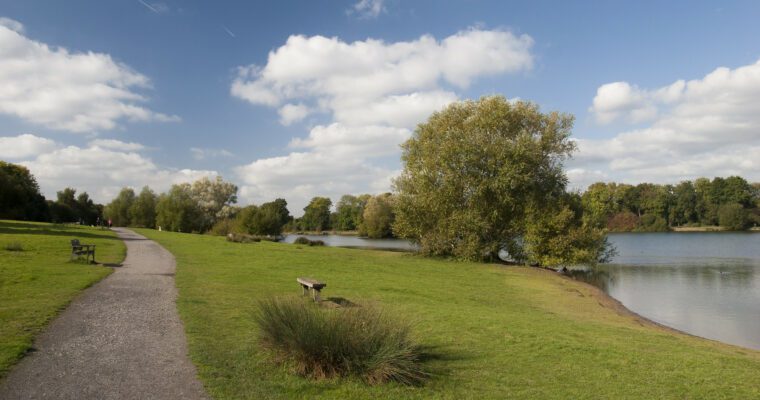
The Royal Military Canal was built between 1805-1809 as a defensive structure designed to protect against possible invasion by Napoleon’s Army. Such an attack never happened, however the canal still acts as an essential form of irrigation providing drainage to much of the surrounding marshland.
After stopping off at the station cafe for some light refreshment you can walk back to West Hythe along the other side of the canal. You’ll see a working model of a sound mirror on your way back near to Palmarsh Bridge.
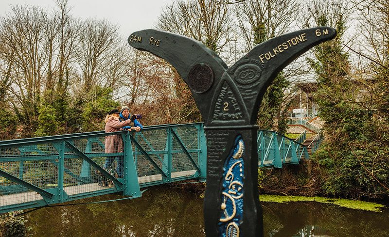
The Royal Military Canal is 28 miles long and forms the long distance Royal Military Canal walking route.
Step by step guide
1. Start from the car park retrace your steps to the entrance Take care crossing West Hythe Road to join the surfaced byway.
2. Follow the byway (Royal Military Canal) with the canal on your right.
3. After 1 mile (1.6km) you will reach Palmarsh Bridge. If you wish to return to the start, cross the bridge and follow the route description from point F. Othewise continue ahead for a further 1 mile (1.6km) until the path reaches a quiet road.
4. Continue ahead - taking care as this road initially has no footpath - until you reach a junction with a set of traffic lights.
5. Turn right to cross Scalons Bridge.
6. After crossing the bridge turn right to follow the towpath back to West Hythe. Please note, the path narrows and runs immediately next to the canal. Continue on the towpath for 1 mile (1.6km) to reach Palmarsh Bridge.Beware of traffic accessing the Riverside Centre and on West Hythe Road.
7. Turn right to re-cross the canal and find the access point to the car park on your left.