Explore the King Charles III England Coast Path with New 360° Google Maps Imagery
9th September 2025
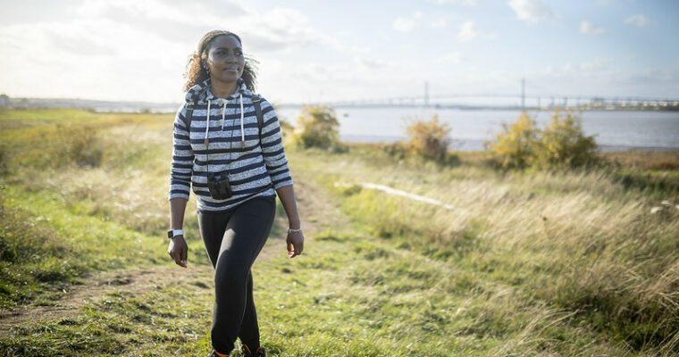
National Trails has launched an exciting new way to explore the King Charles III England Coast Path in the South East of England. Thanks to newly developed 360-degree imagery on Google Maps, you can now preview the entire coastal route virtually before visiting.
This immersive experience is designed to help walkers, cyclists, and outdoor enthusiasts plan their journeys with confidence, while also showcasing the stunning landscapes and heritage of England’s coastline.
The 360° imagery of the King Charles III England Coast Path was made possible thanks to the collaborative efforts of National Trails and World Travel in 360. World Travel in 360 is a specialist digital mapping and immersive media company that works with tourism organisations to create high-quality virtual experiences. Their team used advanced camera technology and mapping tools to capture the entire South East stretch of the path, allowing users to explore the coastline in vivid detail from anywhere in the world. This work supports the wider mission of improving access to nature and encouraging outdoor activity across England.
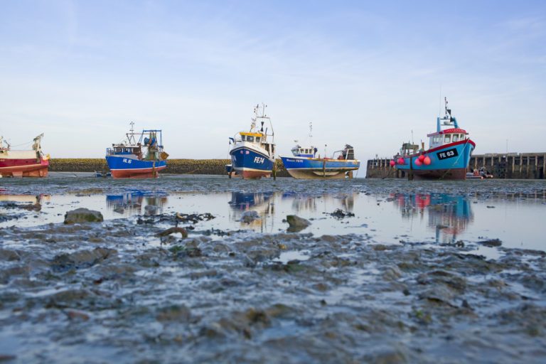
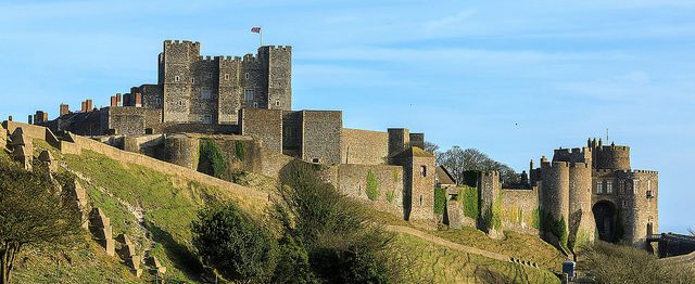
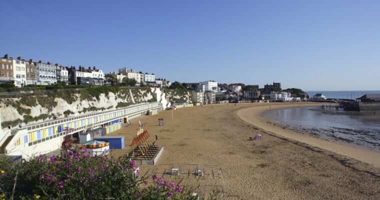
The South East section of the path includes iconic locations such as:
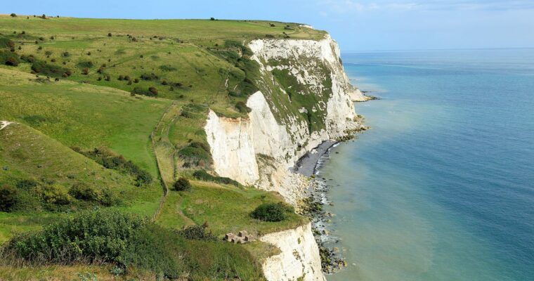
- The White Cliffs of Dover
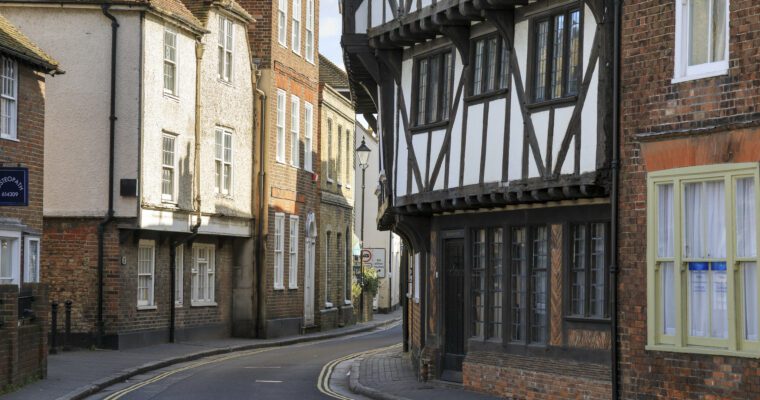
- Historic ports and castles
- Wildlife reserves and nature parks
- Traditional seaside towns
Why National Trails Created the 360° Imagery
National Trails developed the 360° Google Maps imagery to:
- Improve accessibility for all users, including those with mobility needs
- Support route planning with visual previews of terrain, facilities, and viewpoints
- Encourage tourism and outdoor activity across Kent, Sussex, and the wider Southeast
- Celebrate England’s coastal heritage through modern digital tools
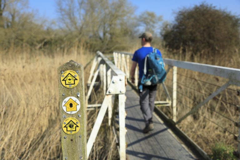
This initiative helps people explore the coast safely and confidently, whether they are planning a day walk, a cycling trip, or a longer adventure.
How to Use the 360° Imagery on Google Maps
To explore the Southeast England Coast Path virtually:
- Open Google Maps on your desktop or mobile device
- Search for a location along the King Charles III England Coast Path
- Drag the Street View icon (the yellow figure) onto the trail
- Click or swipe to move through the panoramic views
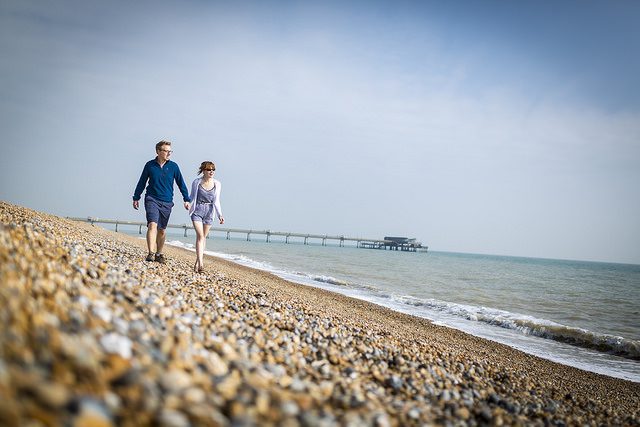
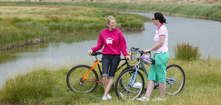
Benefits for Walkers, Cyclists, and Planners
The new 360° imagery offers:
- Virtual previews of landscapes, access points, and nearby amenities
- Enhanced route planning for walking, cycling, and accessibility needs
- Increased engagement with the coast for schools, tourism groups, and local communities
Whether you are a seasoned hiker or a first-time visitor, this tool helps you make informed decisions and discover new places to explore.
Want to Try It? Explore These Must-See Spots on the England Coast Path
To give you a taste of what the new 360° imagery offers, here are three popular and visually stunning locations along the South East section of the King Charles III England Coast Path. These are perfect for previewing your walk or simply enjoying the views from home.
Abbot’s Cliff Sound Mirror (Folkestone to Dover)
A dramatic cliffside location with a fascinating piece of wartime history. The sound mirror and sweeping sea views make this a favourite among walkers and photographers.
Greatstone Sand Dunes (Dungeness to Littlestone)
Golden hour at the Greatstone Sand Dunes is a photographer’s dream. These natural dunes offer a peaceful, beachy escape and are located near the start of the southern section of the path.
Reculver Towers (Minnis Bay to Reculver)
The imposing twin towers of the medieval church at Reculver dominate the skyline and mark the site of one of the earliest Roman forts built to defend against Saxon raids. This location offers dramatic coastal views and is steeped in history.
Whether you are looking for a short stroll or a full-day adventure, Explore Kent has created a series of walking guides to help you discover the best of the King Charles III England Coast Path in Kent. Each guide includes route details, highlights, public transport links, and points of interest.
 Littlestone to Dymchurch: Kent’s Coast Through TimeEnjoy a wonderful walk from Littlestone-on-Sea to Dymchurch, explore the military history of Littlestone and the Victorian Water Tower to the wonderful sandy beach of… Dymchurch, Littlestone-on-SeaSave Littlestone to Dymchurch: Kent’s Coast Through Time to favourites
Popular articles
Walking the Pilgrims Way
Experience the beauty of walking across the Kent Downs NL through the…
Pumpkin Picking in Kent 2024
Get ready for pumpkin picking season and head out with loved ones…
Explore Kent’s Scenic Walks by Train
Discover Kent's hidden gems hassle-free by train, where you can start walking…