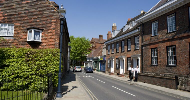
Darent Valley Rail Trails – Rocks and Ridges
A 7.5 mile circular walk from Sevenoaks station towards the Greensand Ridge, visiting the important geological site of Dryhill, exploring hidden valleys and enjoying lovely views of the Downs.
Whether you have an hour or a whole day, the Darent Valley Trails app, downloadable free from the App Store and Google Play, will take you on a magical tour through a rich heritage of history, meadows, valleys and streams, lavender fields, mills, and wildlife, along waymarked paths, with a distance to suit everybody.
There are 17 new new Rail Trails in West Kent, with the choice of both circular and linear routes ranging from 2.5 to 9 miles. All the routes start and end at mainline train stations, so you can go green and leave the car at home. Once you’ve downloaded the app, the trails can be used offline as you explore the remote and tranquil countryside.
Rocks and Ridges
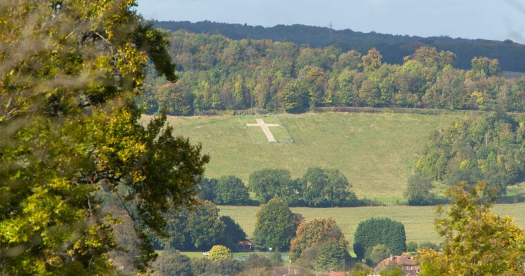
- Enjoy views across the Kent Downs National Landscape
- Explore hidden valleys cutting into the north slope of the Greensand Ridge
- See historic farmsteads at Dryhill and visit a regionally important geological site