Darent Valley Rail Trails – Oaks and Beatles
A 2.5 mile circular route from Sevenoaks station, passing through several areas of this historic market town and learning about its heritage and famous residents along the way.
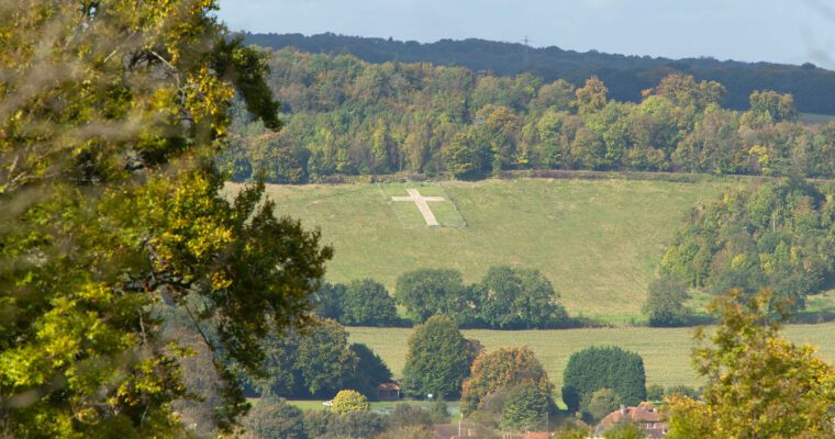
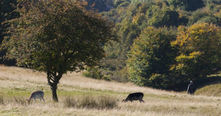
Whether you have an hour or a whole day, the Darent Valley Trails app, downloadable free from the App Store and Google Play, will take you on a magical tour through a rich heritage of history, meadows, valleys and streams, lavender fields, mills, and wildlife, along waymarked paths, with a distance to suit everybody.
There are 17 new new Rail Trails in West Kent, with the choice of both circular and linear routes ranging from 2.5 to 9 miles. All the routes start and end at mainline train stations, so you can go green and leave the car at home. Once you’ve downloaded the app, the trails can be used offline as you explore the remote and tranquil countryside.
Oaks and Beatles
- Walk through Sevenoaks’ residential streets and visit the UK’s first cricket ground
- Explore Sevenoaks High Street, learning about the history and links to famous visitors, including The Beatles
- Option to visit Knole Park and Knole House