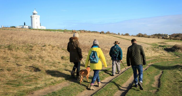
Find Your Way around High Meadow Dover
This exciting activity will enable you to get outdoors and explore High Meadow in Dover in a totally different way. There are checkpoints shown on the map and the aim is to navigate from checkpoint to checkpoint using a specially prepared, hard copy map (provided free of charge). The activity is recorded by using the free MapRun6 App.
Launch day being organised by White Cliffs Countryside Partnership in association with Saxons OC on 26th August. https://www.whitecliffscountryside.org.uk/events/whats-on/high-meadow-orienteering-trail-official-launch
Simply download the App ahead of your visit and follow the guidance on the Saxons Orienteering website to bring up your chosen course. Click ‘Go to Start’ and you will see the map shows on your phone. After exiting the App at home, the course is on your phone and will not require a 4G connection when you get to High Meadow.
The app uses your phone’s GPS capability to register your location as you travel from the Start and at each checkpoint. As the checkpoints are virtual, the app notifies you’ve hit the right location with an audible tone and the checkpoint location turning from red to green. After reaching the Finish, you can ‘See Results’ to compare the time and track taken with others who have done the same course. Can you beat your time by choosing different tracks next time? Run, walk, go with friends – you choose.