King Charles III England Coast Path – Kent
From seaside castles to the wild north Kent marshes, the King Charles III England Coast Path is a delight to walk, whether it's the full length or a smaller section of it.


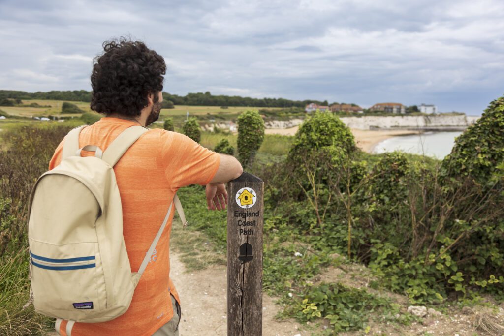
The trail forms part of a National Trail that will run around the entire coast of England, connecting coastal communities, landscapes and heritage. The King Charles III England Coast Path in Kent is largely open, with some short sections still to be completed.
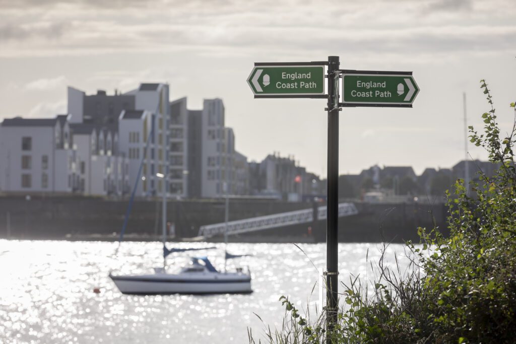
In the South East, it stretches between the Thames Estuary and the Sussex coast, passing through Kent’s varied shoreline. The path is waymarked using the National Trail acorn symbol. The Kent section is made up of a series of linked coastal stretches, allowing you to explore the county’s coastline in stages or as a longer journey.
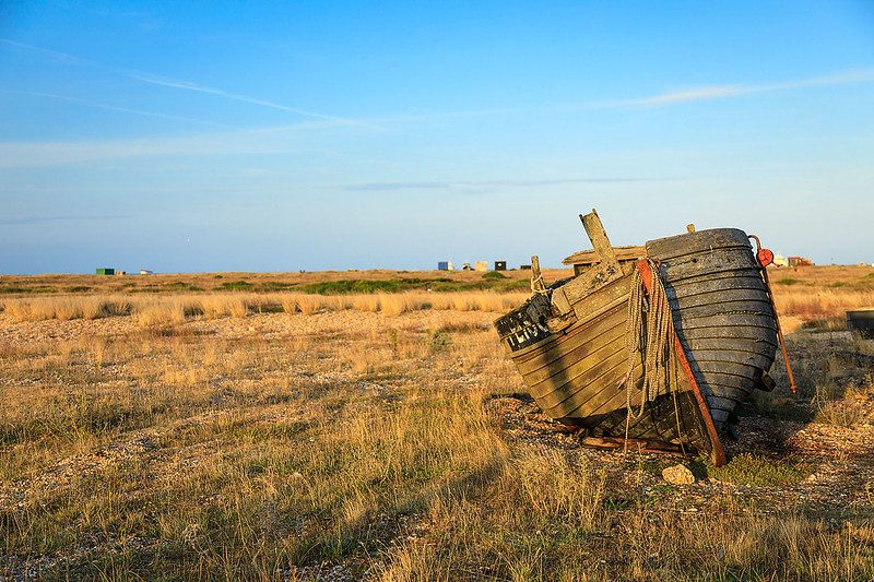
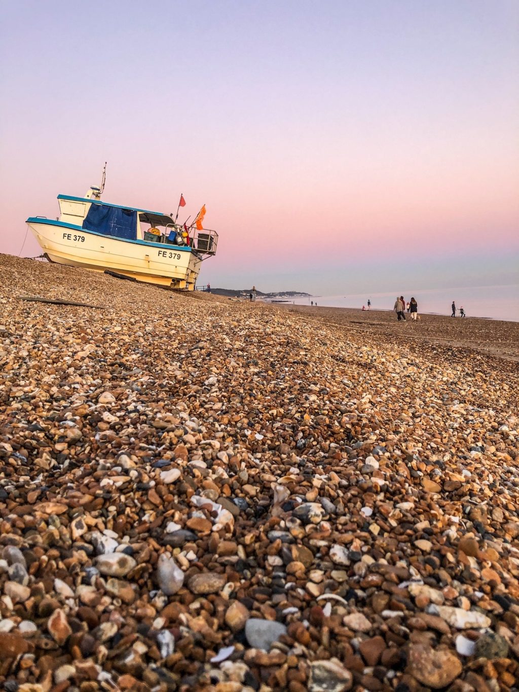
Camber to Folkestone
This section is almost fully open.
A short stretch between Rye Harbour and Camber is not yet complete. Walkers can use a short bus journey between Rye and Camber Sands to continue the route.
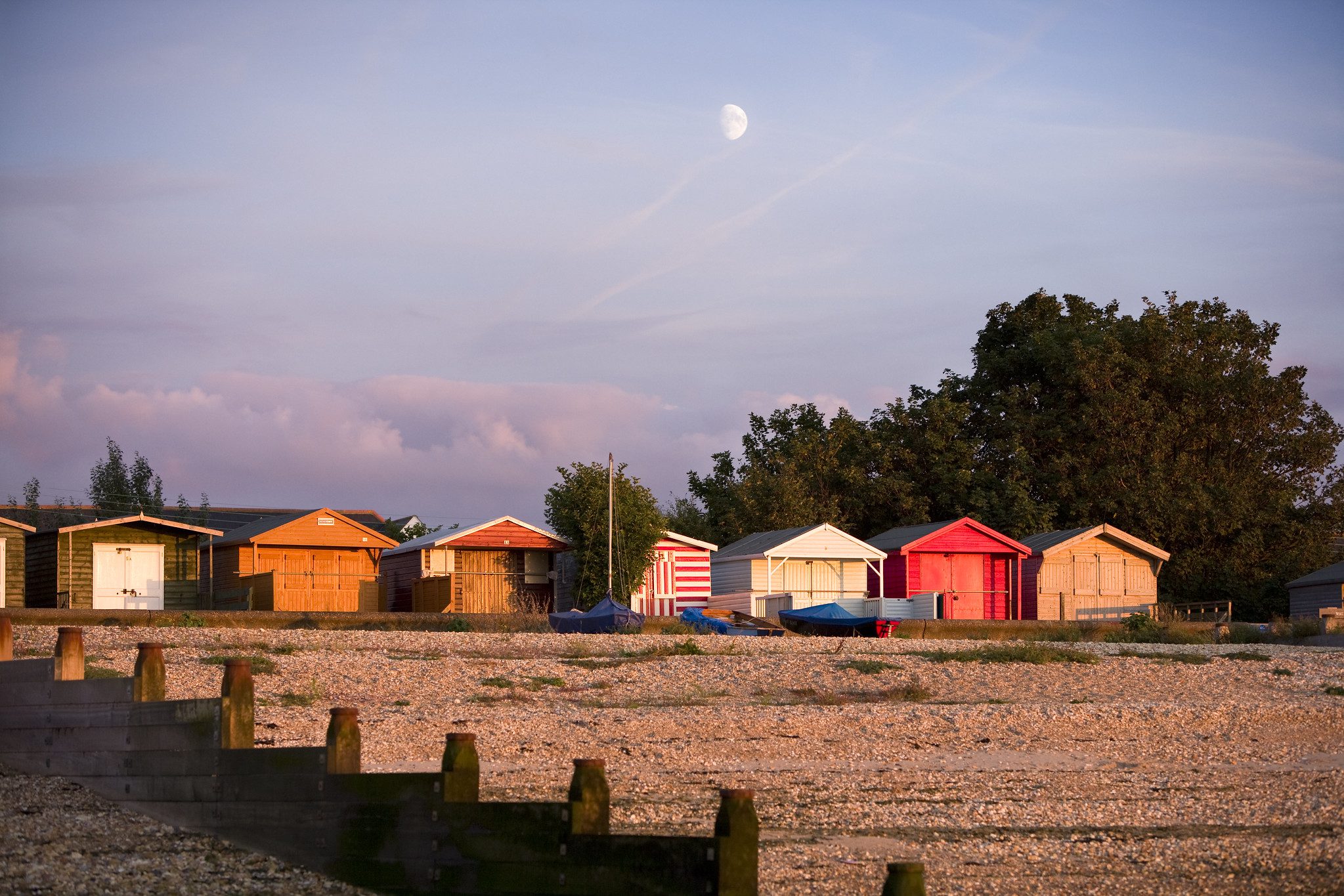
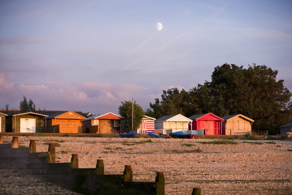
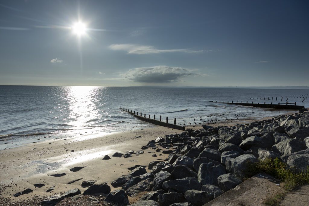
This stretch includes the unique landscape of Dungeness, the largest expanse of shingle in the country. It is home to rare plant life, historic lighthouses and the Romney, Hythe and Dymchurch railway. Along the coast you will also see Martello towers, the Royal Military Canal and other wartime features.
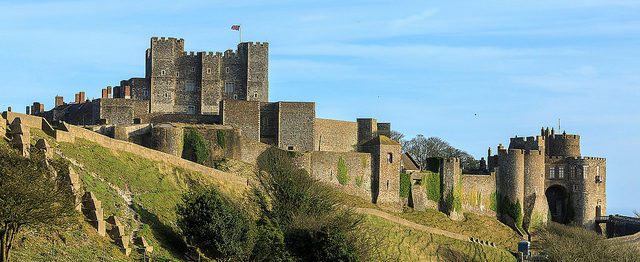
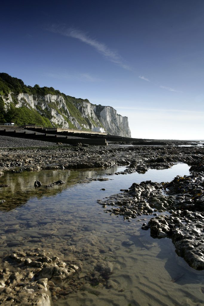
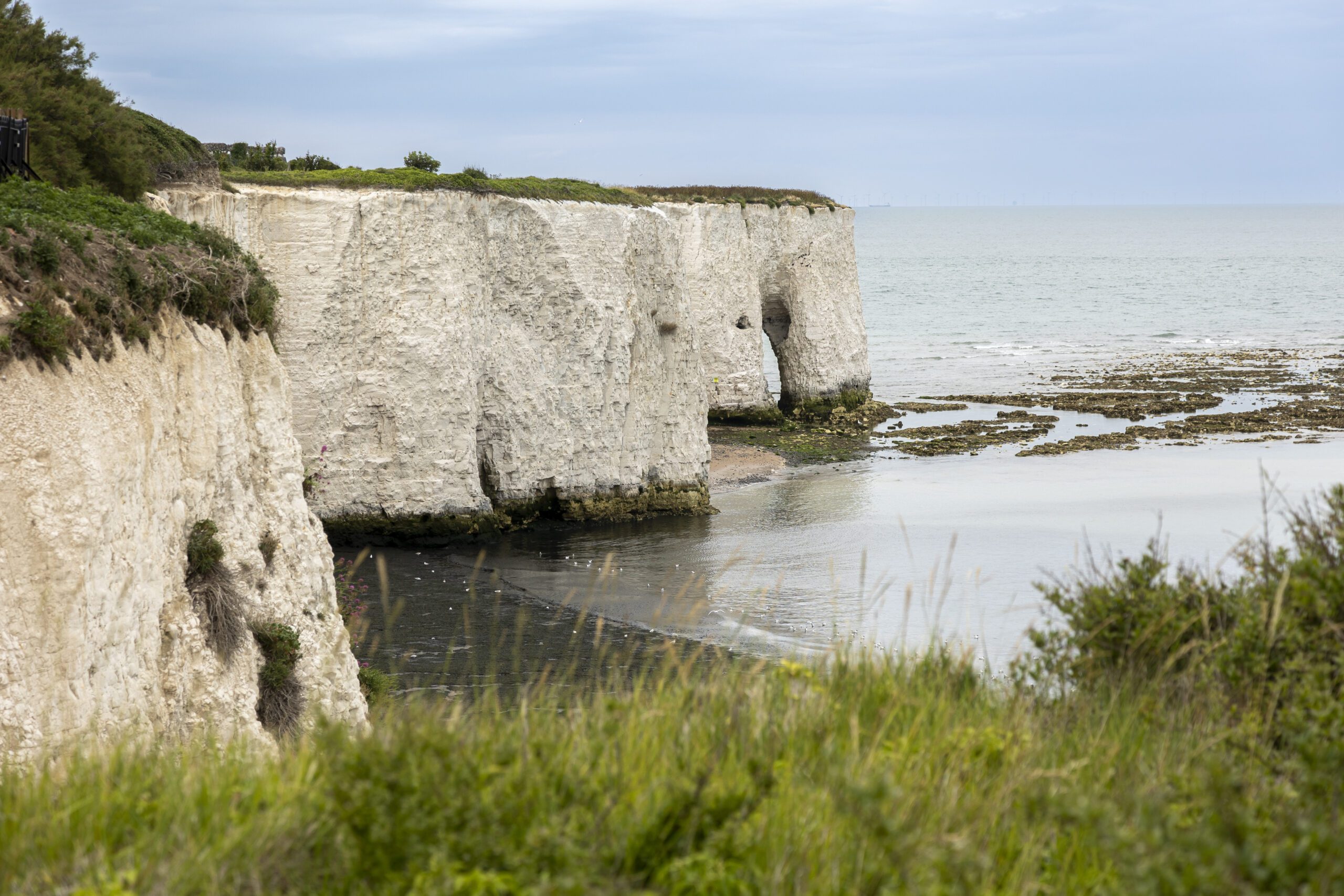
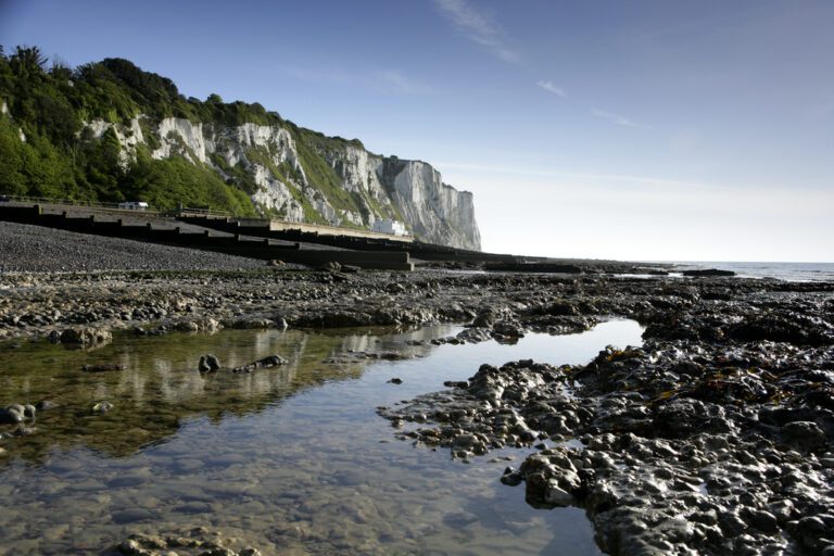
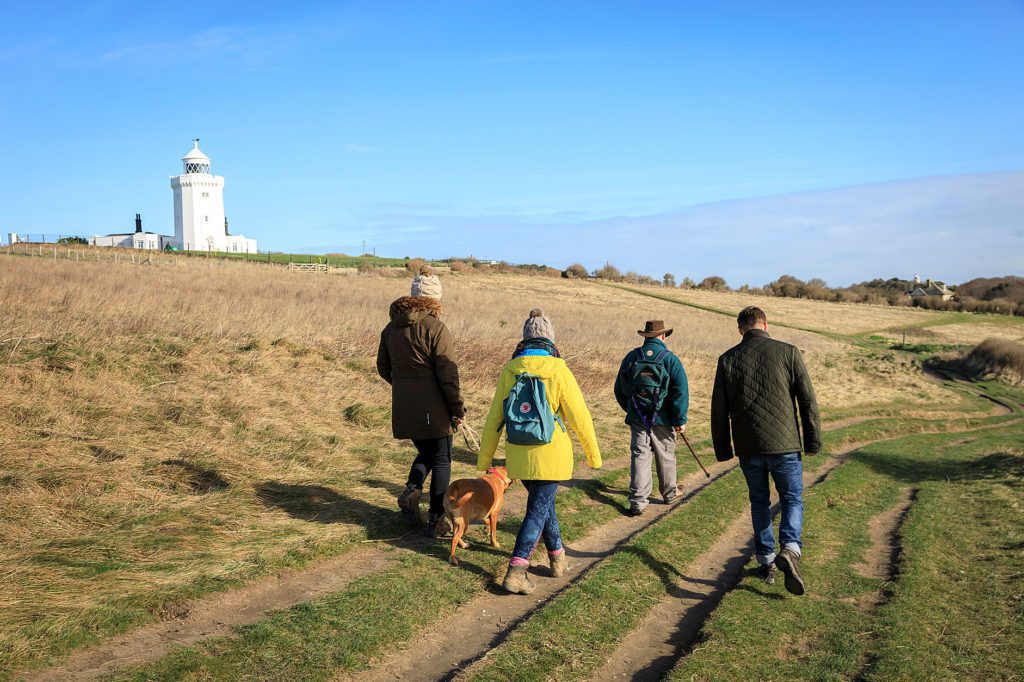
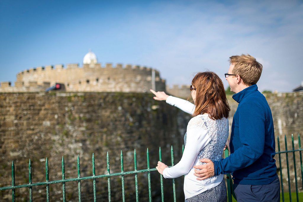
Folkestone to Ramsgate
This section is fully open.
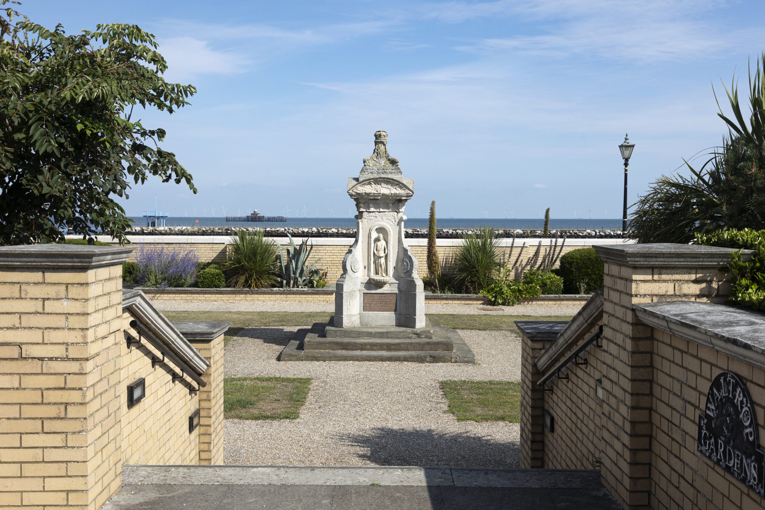
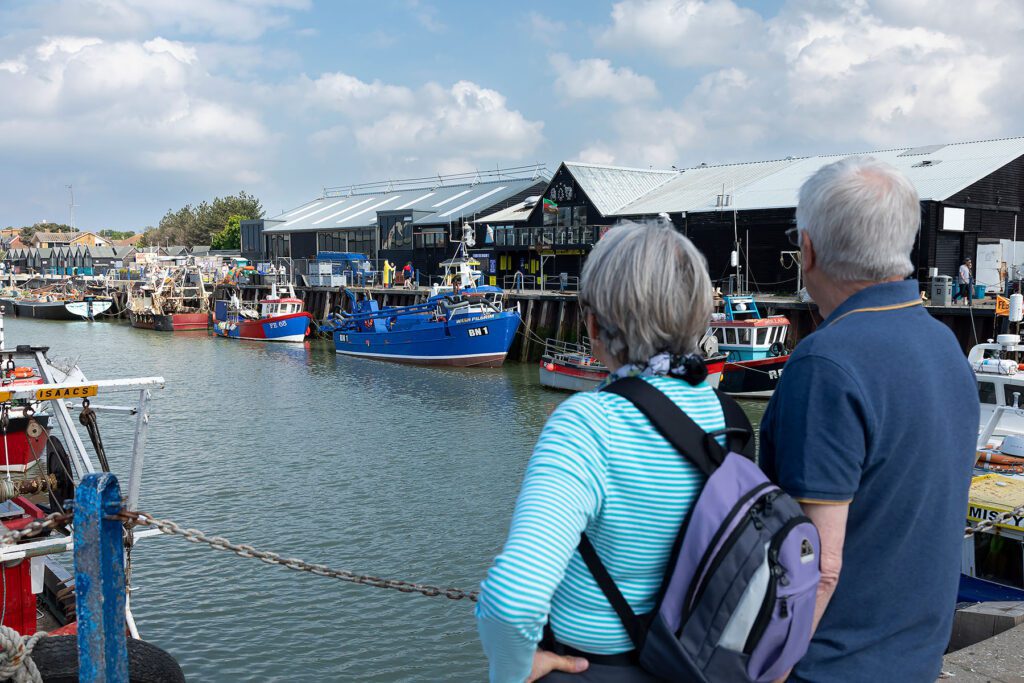
It includes the White Cliffs of Dover, coastal views across to France and the wildlife-rich Sandwich Peninsula. The route passes through historic locations including Dover, Deal, Walmer and Sandwich, with a wide range of heritage sites from Roman times through to the World Wars.
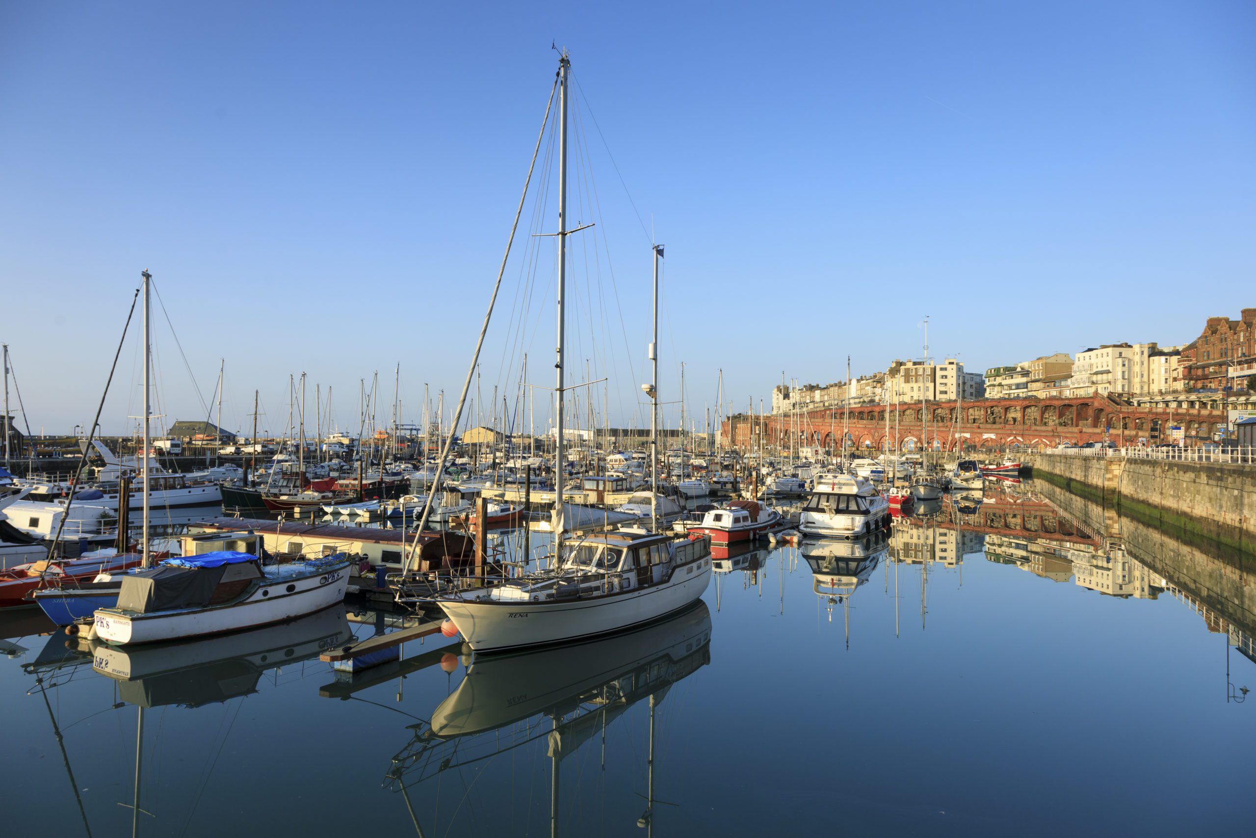
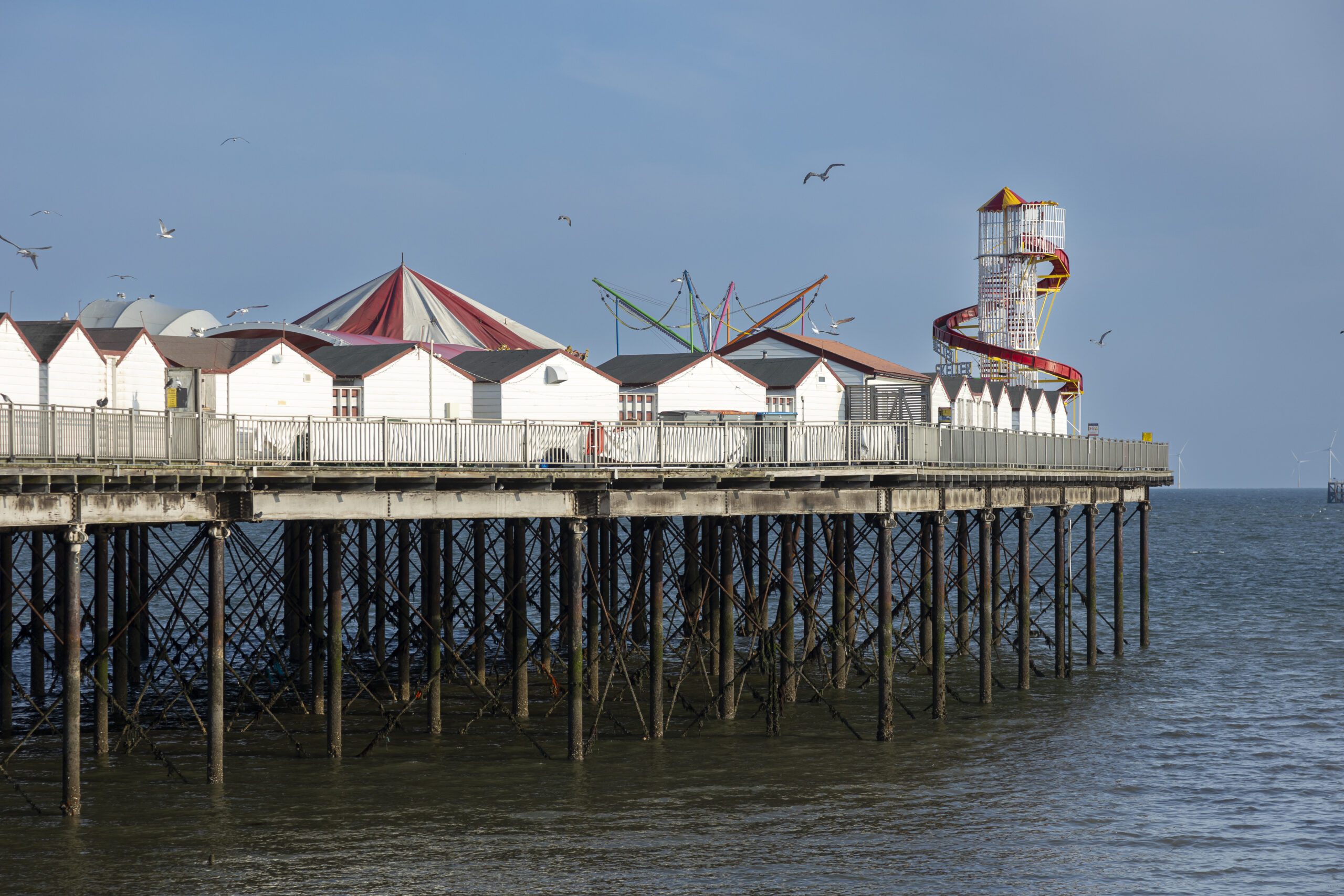
Ramsgate to Whitstable
This section is fully open.
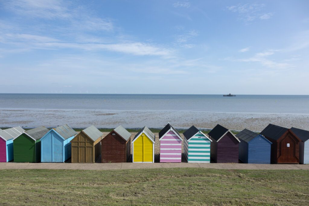
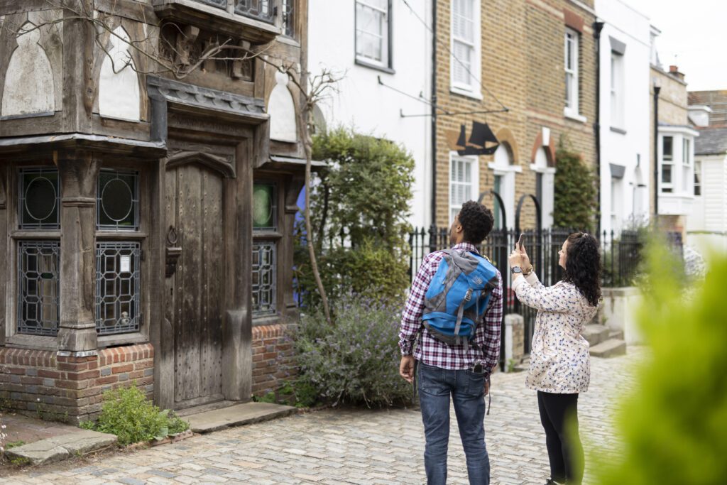
Starting at Ramsgate’s Royal Harbour, the trail passes sandy beaches, chalk cliffs and popular seaside towns including Broadstairs and Margate. Highlights include Viking Bay, Botany Bay, Reculver Towers and the seafront at Herne Bay and Whitstable.
This stretch combines lively coastal towns with quieter sections of marsh, seawall and wildlife habitats.
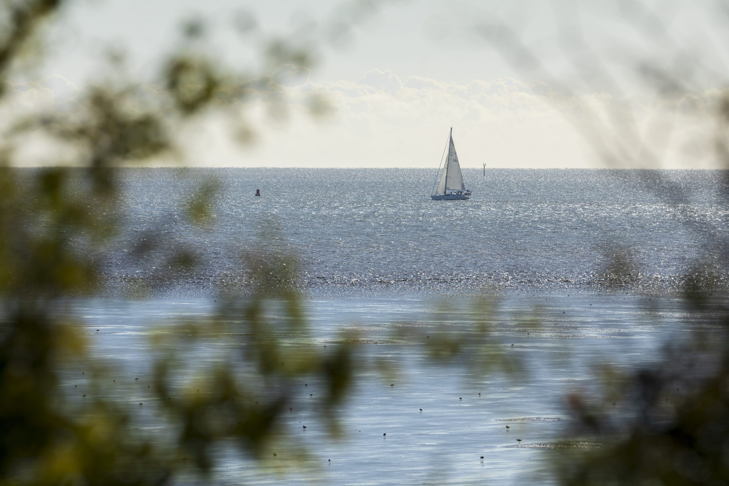
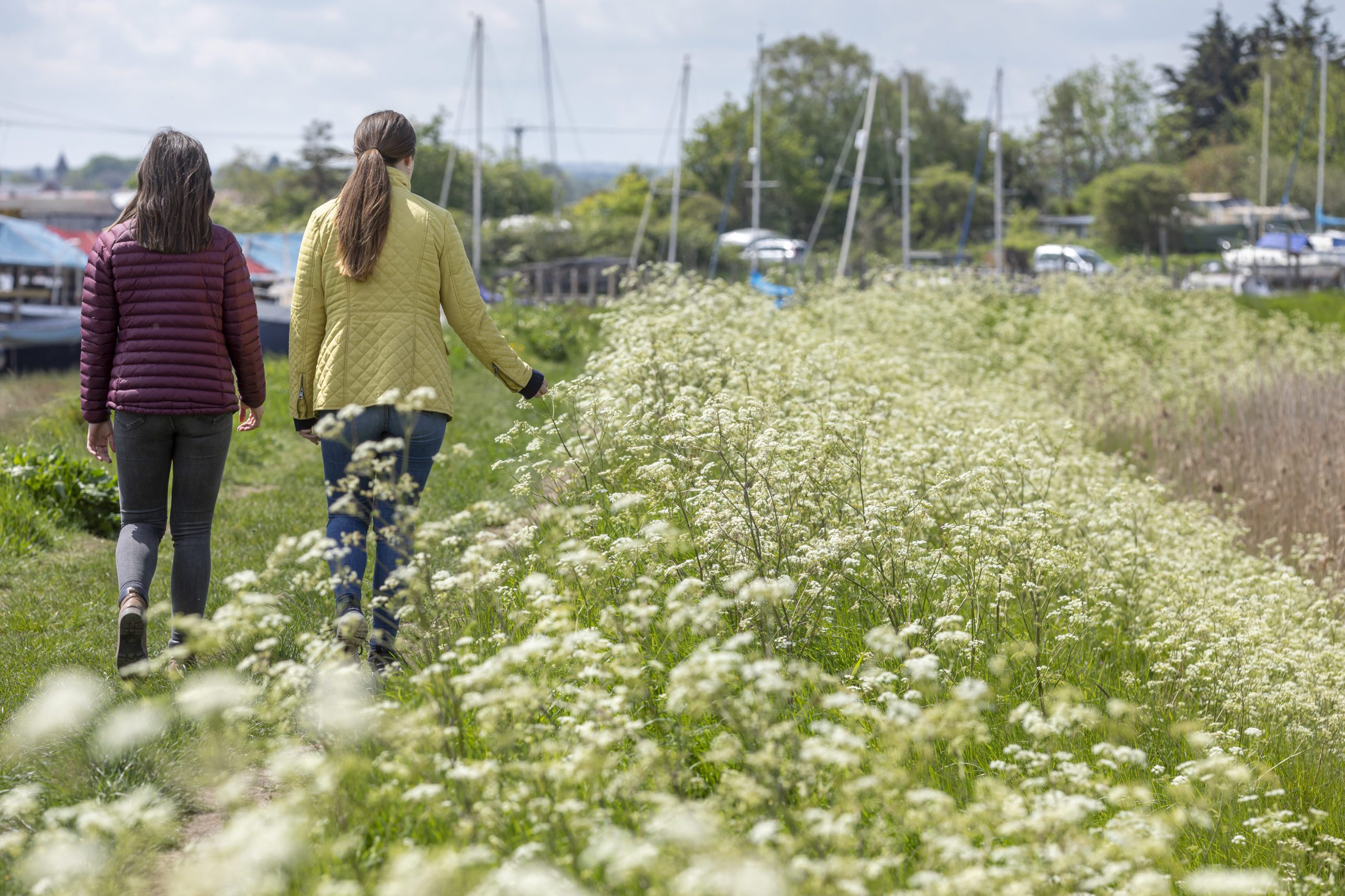
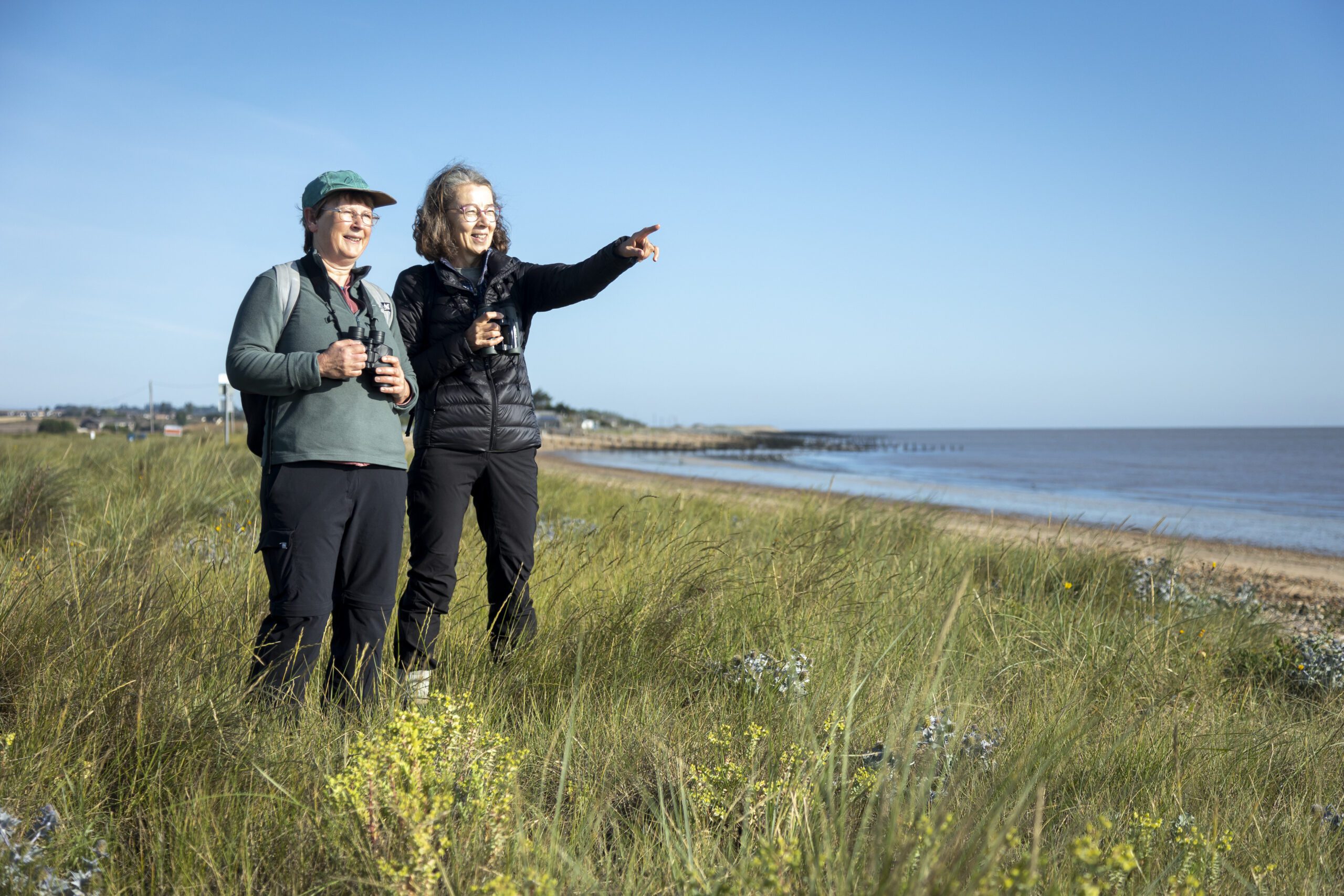
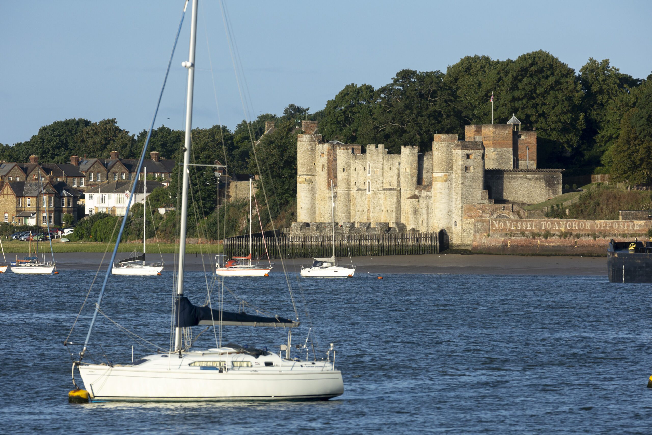
Whitstable to Rochester (including the Isle of Sheppey)
Most of this section is open, with some gaps.
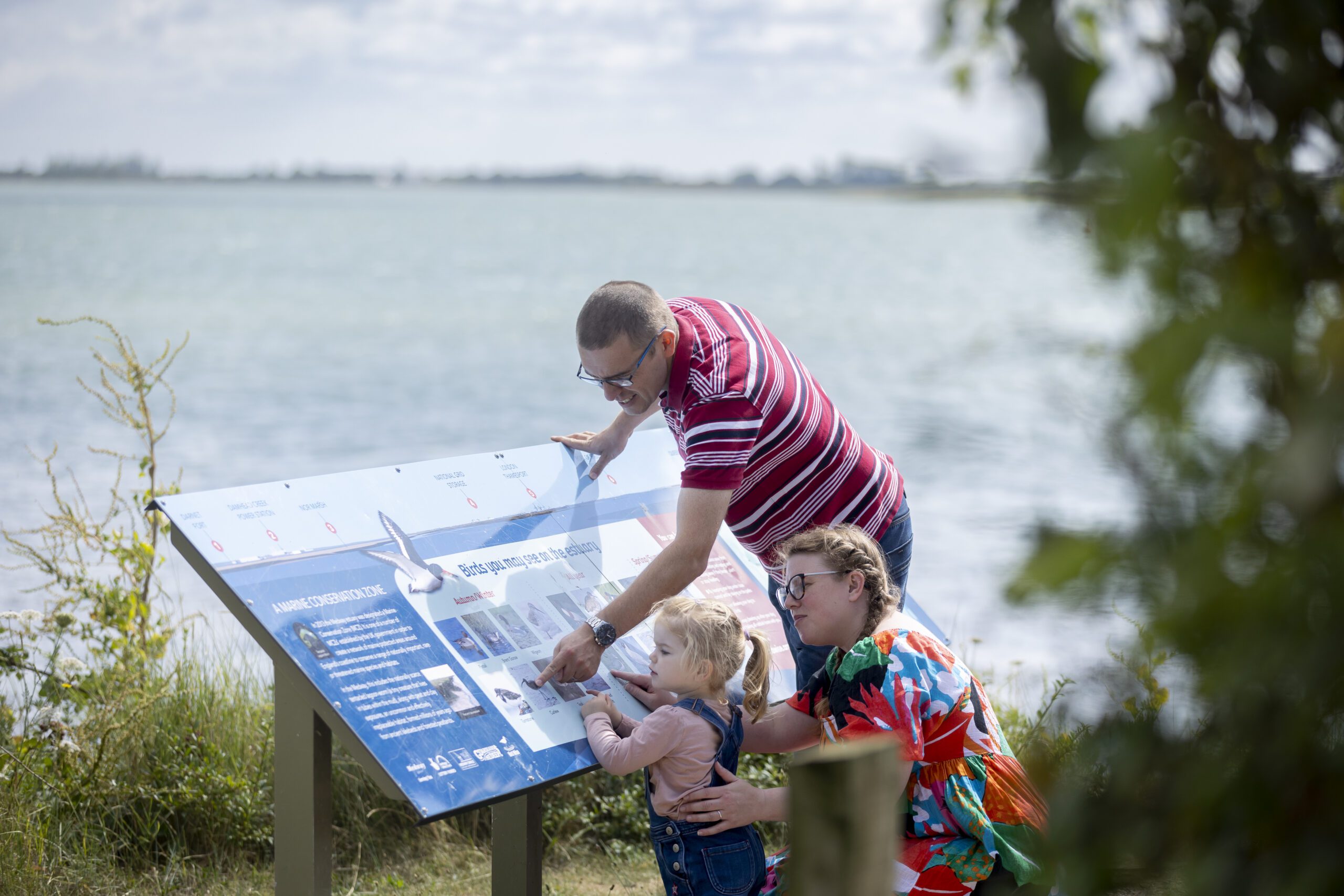
You can walk from Whitstable to the Kingsferry Bridge and onto the Isle of Sheppey. The route includes coastal boardwalks, seawalls, creeks and estuary landscapes rich in birdlife, particularly around the Swale and Oare Marshes.
There are currently some incomplete sections:
- between Kingsferry Bridge and the outskirts of Gillingham
- between Oak Lane and Warden Bay on Sheppey
Short bus connections are recommended to link these gaps.
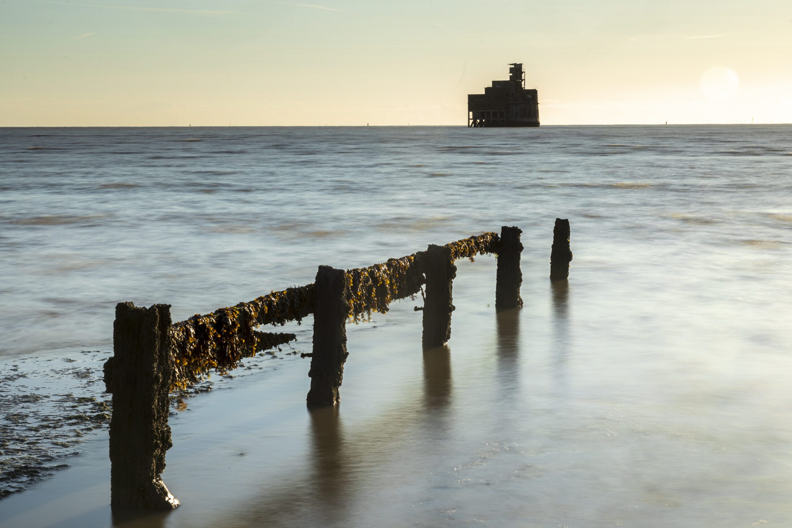
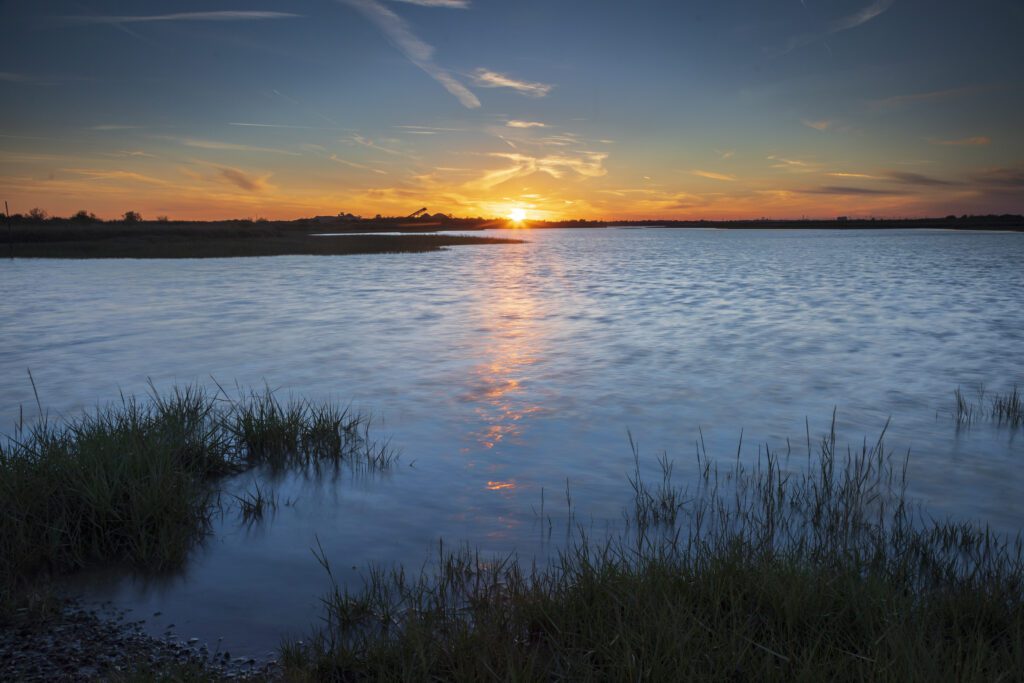
Rochester to Woolwich (via the Thames Estuary)
Most of this section is open, with one short gap at Grain.
This part of the trail links the Kent coast with the Thames Path, creating a continuous walking route towards London. It passes through a mix of remote marshland, industrial heritage landscapes and riverside towns.
A short section at Grain is not yet complete, but can be bypassed using local bus services.
The coast path is a hidden wilderness amongst industrial buildings along the Thames as you follow it past the QEII Bridge and Dartford and onto Woolwich. You can keep following the path all the way into London and beyond to the source of the Thames.