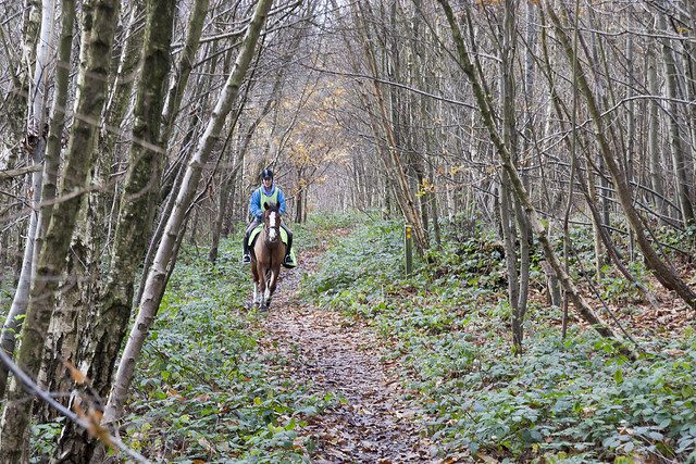
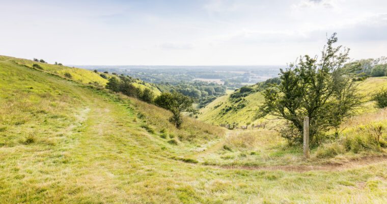
Gaze over the River Medway and the Kent Downs as your 4.5 mile (7.3km) journey takes you through secluded woodland, open farmland and then follows the route of the Channel Tunnel Rail Link.
The River Medway was an important transport route, being navigable since Roman times and later serving the quarrying industry of the valley. The legacy of this quarrying, past and present, can be clearly seen across the valley.
The area is rich in wildlife and a number of nature reserves are located near the route. The journey takes you between Monk Wood and Bridge Woods and passes Shoulder of Mutton Wood, high on the crest of the downs, now owned by the Woodland Trust.
A Bronze Age burial mound is situated in the northern section of Shoulder of Mutton Wood. Woodland has grown up on this prominent high spot overlooking the Medway Valley.
The southern section of the wood was devastated in the 1987 hurricane but is regenerating well.
If you would like to extend your ride, you can continue along the North Downs Way from the Robin Hood pub for more spectacular views.
Start Point: TQ734626 Common Road, Blue Bell Hill.
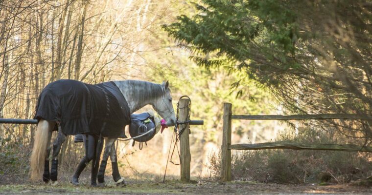
Parking: Robin Hood Pub (TQ734628) – 01634 861500. The pub is happy to accommodate horses, but please phone and check first.
The British Horse Society has published the route on OS Maps. View the full map.
Note that as part of the route runs adjacent to the Channel Tunnel Rail Link, trains appear suddenly and at high speed. Please consider whether your horse would find this disturbing before embarking on the ride.