North Downs Way Riders’ Route: Section 2 – Oxted to Wye
Tackle the second Kent leg of the North Downs Way National Trail Riders' Route from Oxted to Wye

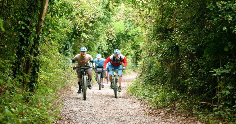
Our famous national trail national trail is now rideable, winding through the Kent Downs and Surrey Hills National Landscapes.
Quiet and almost traffic free, our Riders’ Route is easy to follow, family friendly and – above all – absolutely beautiful. It can be broken up into easy to manage sections so you have the choice of testing your skills as a cyclist or horse rider on challenging hills, or just enjoying the scenery on a pretty family day out on two wheels or even four legs!
This section of the North Downs Way Riders’ Route takes you deep into the Garden of England, around ancient structures and along pilgrimage routes for an incredible journey across the Kent Downs National Landscape and aspiring Cross-Channel UNESCO Global Geopark.
Swap tarmac in Oxted for dirt tracks through the West Kent woodland as you set off on this section of our Riders’ Route. Here you will pass historic sites such as Sir Winston Churchill’s home Chartwell, and more lush vineyards and rolling fields, before our trail merges with the historic Pilgrims’ Way.
This historic route taken by pilgrims from Winchester to the shrine of Thomas Becket in Canterbury was actually thought to be in existence since the Stone Age, following the natural causeway on the southern slopes of the North Downs. The mystical reminders of ancient times are a joy to behold, such as numerous Long Barrows and megalithic burial sites, as are the memorials to both pilgrims and soldiers who once travelled this way.
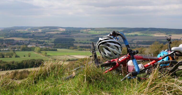
Crossing the River Medway, you descend into ‘ The Garden of England, with much easier terrain allowing for easy family rides or a faster pace.
This section finishes in the chocolate-box village of Wye, once a Roman camp but now a vibrant community with fantastic riverside pubs, train station and staggering views from the famed Devil’s Kneading Trough (if you fancy one last climb!).
Head to the main North Downs Way Riders’ Route page for information on the rest of the route and alternative ways of travelling the trail.
Download the GPX map for Section 1 of the North Downs Way National Trail Riders’ Route
More route options are available to download here.
You may also like
 North Downs Way Riders’ Route: Section 3a – Alternative Wye to Canterbury routeOn this section of the North Downs Way Riders' Route, meander along the River Stour, relax and reflect at Catha's Seat and take in the… Canterbury, Chartham, Godmersham