This wander along the riverside starts from Beltring station, opened in 1909 and used to transport hops from the Hop Farm to breweries in London.
The route passes through a local wildlife site, reclaimed from industry to create a habitat rich in plants like teasel, greater mullein and cranesbill. During the summer months the bramble and rose thickets host a variety of small birds and the nearby shallow ponds are populated by insects and amphibians.
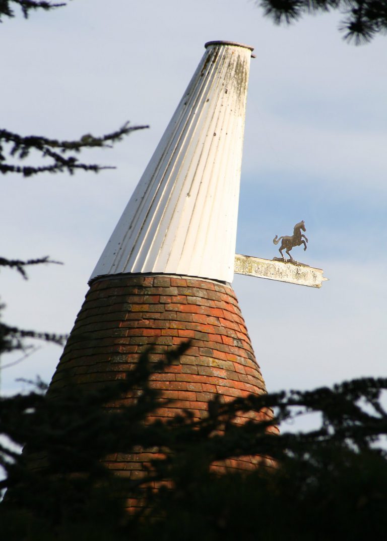
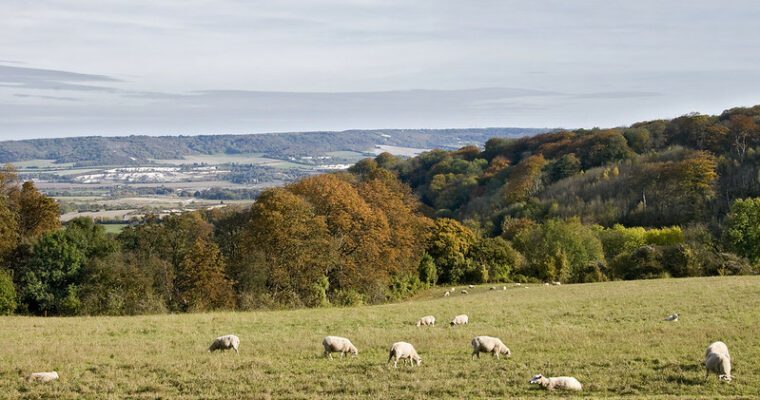
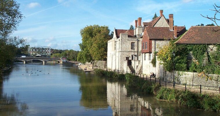
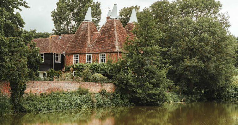
Along the river you’ll spot kingfishers, dragonflies and glorious views across the Downs to the fields. You’ll also find evidence of the River Medway’s history in the garden of an old oasthouse. A World War II pill box sits in the gardens, a testament to the fear of invasion.
Step by step guide
1. Turn right out of Beltring train station onto Gravelly Ways.
2. Walk about 800m along the road; there are no footpaths so take care walking along the edge of the road. Turn left at the footpath sign taking you into the local wildlife site.
3. Arrive at the disused Stoneham lock on the River Medway and turn downstream to your right.
4. Keeping the river on your left continue along this path for about 2.3km, part of the Medway Valley Walk.
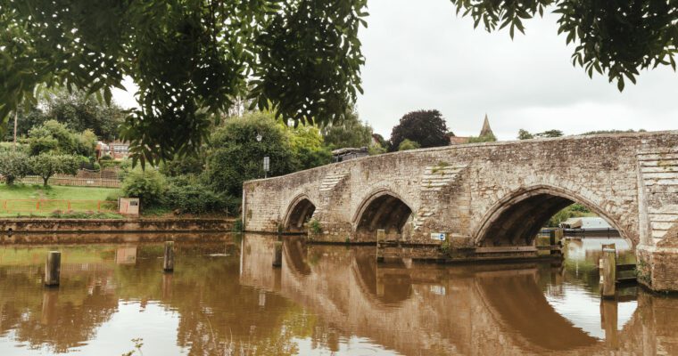
5. Cross the Medway at the weir. Teapot Island is on your right and straight ahead is Twyford Bridge.
6. Continue past the semi-thatched pub. Turn left across the small bridge and follow the road straight down past the houses. Cross the stile on the right into Yalding Fen Nature Reserve. Please put your dogs on a lead while on this site; Hebridean sheep and cattle graze here depending on the season.
7. Go left then turn right and go through the middle of the orchard between the trees. Follow the path round to the right of the pond then continue straight ahead until you reach the stile at the railway crossing. Carefully cross the tracks and the stile on the other side then turn right. This is another small wooded stretch with shallow ponds to your left. Continue straight along this path keeping the railway to your right until you reach Hampstead Lane. Turn right and Yalding train station is on your left. For an extension to this walk, why not follow the Hills & Hoppers rail trail from Yalding train station.

