Cranbrook South – A walk through time
The area around Cranbrook was originally heavily forested. It was part of the Anglo-Saxon Great Wood of Andredsweald. In those days, herds of domesticated pigs were driven every autumn from the north and south downs into woodland clearings or dens – open areas where grazing or pannage rites were granted by local leaders. Many of the existing roads and woodland tracks we use today are ancient drovers’ roads, characterised by their steep sides created by generations of wear from feet and trotters.
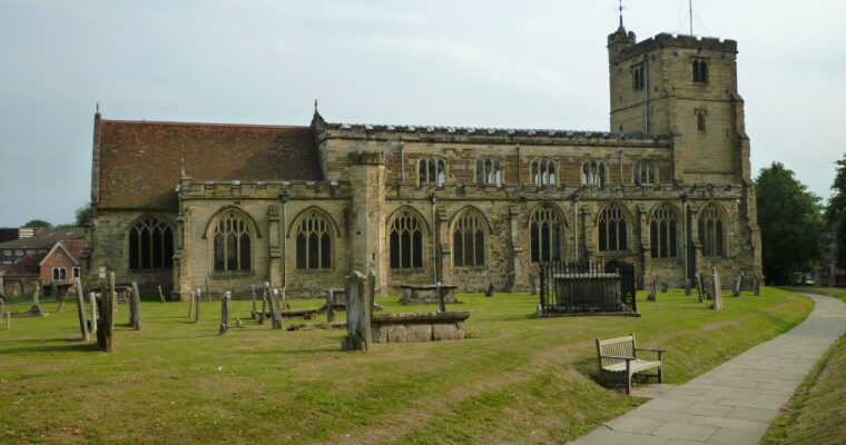
The pigs were fattened on fallen acorns and beech nuts, and over time the clearings grew large enough to become established human settlements. This explains the many examples of place names in the area ending in den, such as Benenden, Biddenden and Frittenden. Cranbrook’s name post dates these other towns. Its name means the brook of the crane, with the town growing up around the church in the 11th century.
Step by step guide
From the Weald Information Centre, head down Stone Street towards Golford.
Carry on and bear right down The Hill
Go straight on, past The Freight, and across the field, following the path through a gap in the hedge. Keep to the left hedge line and go straight across the field to the edge of a copse. Follow this line down to a strip of woodland before reaching the road. Cross the road with care, and go round the edge of the field, passing through a gap in the hedge on the left, and into a small orchard. Walk round the bottom edge of the orchard until you see a gap in the hedge and a bridge over a ditch.
Cross into the field beyond, and follow the path with the hedge on your left until you reach a large oak tree. Here the footpath is marked at right angles, directing right, across the field to the edge of a wood. Follow the path at the bottom of the wood and walk beside a hedge, coming out onto a track leading to the Swattenden Centre. Turn right, and keep the yard and buildings on your left as you walk towards the road. When you reach Swattenden Lane, turn left and follow the path inside the hedge at the top of the playing fields, and go up to the entrance to the Centre. Cross the road with care, and carry on into Comfort's Wood.
Follow the permissive route waymarker through Comfort's Wood, bearing right as you go and you will come to a stream, before following the path up to a gate that leads to the main footpath you walked down earlier.
Continue up the path towards Cranbrook, this time passing The Freight on your right-hand-side, and continue until you arrive at the entrance drive of Mount Ephraim, a building possibly named after a Dissenter's home.
Turn left here, and follow by the side of the drive until you see the footpath on the right, go through a gate and across the middle of a field. Follow the path down to woodland, bear left over the stream and walk up into another field. Continue over a stile and through a gate, eventually reaching the track leading to Brick Kiln Farm, named after the local brick-making industry, no doubt making good use of the Wealden clay
Turn right when you reach the track that brings you out onto the High Street. Turn right again and head back down to the start of the walk, the Weald Information Centre, noting the places of interest described on the Cranbrook north walk.


