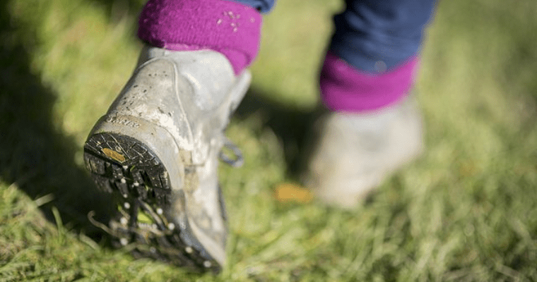
Cranbrook North – A walk through time
The High Weald landscape is dominated by its patchwork of irregularly shaped fields and ancient woodland, which has been managed for centuries. Wood has long been a valuable resource in this part of Kent. It supplied timber for houses and ships, and fuel for domestic use, as well as for the huge Wealden iron industry, dating back to Roman times. Coppicing in cycles of between 5 and 35 years produced a sustainable supply of wood used for charcoal, fencing, hop poles and many other useful products. Today, woodsmen still continue this ancient management activity, albeit on a much smaller scale. Coppicing also benefits wildlife. Butterfly, moth and plant species have adapted to this environment over the centuries, as well as mammals, such as dormice.
Sweet chestnut is still the most-frequently coppiced wood, and is used for fencing, construction and furniture. In the recent past, a lot of chestnut was harvested to supply the hop industry with long straight poles for the hop plants to climb, but hop growing in Kent has declined drastically over the past century, with the importation of cheaper foreign hops used by today’s brewers. The region’s woodlands are well worth visiting in early May, to take in the stunning colour and scent of carpets of bluebells.
Step by step guide
1. From the Weald Information Centre walk up the High Street towards Hartley. The Vestry Hall was built in 1859, with a courthouse above and an old fire station below.
2. Go past the White Horse (Victorian pub), and on your right is a typical narrow passage leading to the Horse Pond. Opposite is the site of the Post Office, once the White Lion Inn. Look for the plaque commemorating the founding of the Observer Corps
3. Continue up the High Street and turn right into New Road, and walk on until you reach the main road (A229). Cross with care and go round the barrier into Angley Woods.
4. Follow the footpath, bearing right at the fork, and continue through the ancient mixed woodland, with chestnut coppice and conifer plantation.
5. Take the path through the woods, turn left and go over a footbridge, before bearing right round the paddocks.
6. Carry straight on, and leave the wood with the paddocks on your right, and a fence on your left. Walk along a footpath that has an uneven surface, then along a driveway up to the road (A229). Cross the road to the footpath opposite, go through a gate and up through a field onto a path that runs between playing fields on the left and Cranbrook Primary school on the right. At the end of the path, bear left through a gate and continue towards the churchyard, passing the old Victorian primary school (now a surgery), on your right. Go through the churchyard and you will find yourself back to the start of the walk - the Weald Information Centre.