Maidstone Barracks rail trail
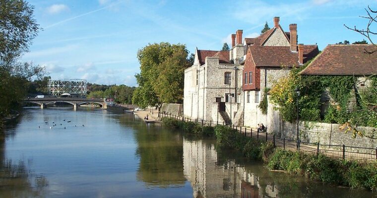
Maidstone Museum and Bentlif Art Gallery is near the start of this walk through historic Maidstone. The museum is based within the 16th century Chillington Manor House and houses exhibitions on Ancient Egypt, archaeology, biology and local history.
In 1343 Roger de Vinter bought the land that makes up Vinters Park and built the first house here, discovering Roman remains in the process. The remains of de Vinter’s house can still be seen in the east section of Vinters Park.
Vinters Valley Nature Reserve is packed with wildlife; swimming through the lake you’ll spot grass snakes on the hunt for small amphibians and fish, slow worms weaving through the grass and viviparous lizards.
The entrance into brenchley gardens from the high level footbridge has been shut until further notice so you would need to continue to the end of the path onto Station Rd if you would like to walk through the gardens.
Step by step guide
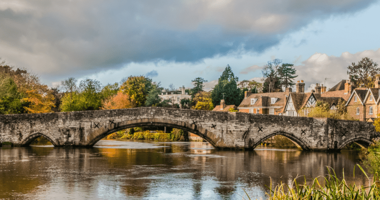
On leaving Maidstone Barracks train station turn right onto Buckland Hill. On the left is a footpath signed to Maidstone East station. Take this path and continue along it as it bridges the River Medway and the main road. Just before you reach the buildings when Maidstone East station is on your left you'll see a gap in the wall on your right. This leads you into gardens. Pass the war memorial and the church on your left and leave the gardens by turning right onto Station Road. Follow the road around to the right until you are at Maidstone Museum.
From the museum turn left and cross over the road and walk up St Faiths Street. When you are at the shops turn right and then left into Union Street. Follow Union Street for just over 1km. At the main road (A249) cross over, turn left and then bear right to walk towards Vinters Road. Turn right and continue along Vinters Road for 300 metres. When you see the school in front of you turn left and immediately right onto the footpath.
Keeping the metal railings and the school on your right, follow the footpath for 200 metres. Just after the school turn left through the metal gate then go right to continue along the path. You are now in Vinters Valley Nature Reserve.
Follow the path as it bears left and when the path forks take the lower left path which leads you past the large lake. As well as waterfowl this lake is a great place to watch out for broad-bodied chasers, common darters and other dragonflies. This area is also a haven for local amphibians especially common toads which use the lake to breed in the spring.
With the lake on your right follow the path through the woodland and straight through the park. This path is known as the ‘blue tit route' for reasons which should hopefully become apparent. After approximately 600 metres you'll reach a fence and gate. Turn left and walk up the steps. At the top go straight on and follow the path as it bears right then left (with the fence to Vinters Crematorium on the right). The path then bears left (note the bird feeding station on the right). At the path junction turn right and exit the park opposite Nutley Close.
Turn right onto the bridleway. Lower Fullingpits Wood, a section of ancient woodland, is on your right. Follow the path for 200 metres until you meet Bearsted Road. Turn left and cross the road when opposite the hotel. Turn right after the hotel onto the footpath. This path runs past the hotel and across Sittingbourne Road. After the road the path continues on your left and runs straight for 500 metres through the ancient woodland of Heath Wood.
When out of the wood continue straight on past the picnic and play area. Cross Sandy Lane and walk diagonally left across the recreation ground at Penenden Heath heading for the top left corner near the road junction.
At the clock tower turn left and cross Penenden Heath Road. Go up the steps and take the footpath at the corner. Follow the footpath between the houses and over Heathfield Road for just under a mile. When you come to the corner of Curzon Street and Park Avenue continue straight ahead on the latter and then continue onto Wheeler Street. Turn right onto Well Road and immediately cross over and turn left down County Road. Maidstone Prison is on your right.
County Road will lead you to Sessions House Square with County Hall (the headquarters of Kent County Council) on your right.
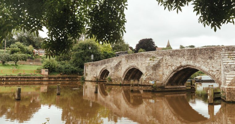
Turn left and either walk down Station Road to Maidstone East train station or follow the road to your left and around to the right. Ahead you'll see the original footpath to take you back across the River Medway and back to Maidstone Barracks train station.