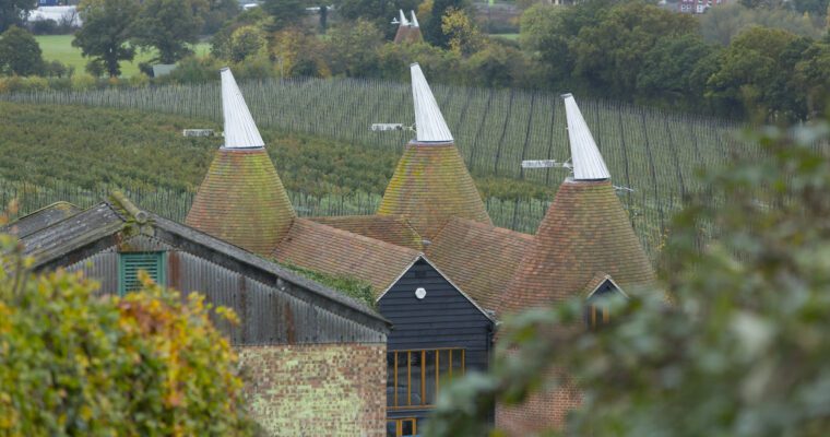
Horsmonden was reputed to be the most important gun manufacturing site in Britain during the 17th century. But agriculture was also key – particularly the production of hops for local breweries. And it was nationally known for its annual horse fair.
Today, the village is surrounded by orchards and well-worked fields, offering classic garden of Kent countryside.
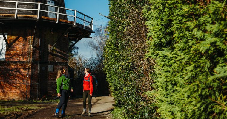
This walk showcases the best of this important fruit growing area. It offers tremendous views over the High Weald, the Greensand Ridge as well as the valleys of the rivers Teise and Medway.
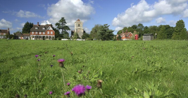
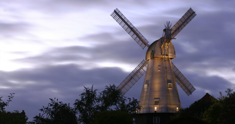
St Margaret’s Church stands 1.5 miles outside the village centre. It is an extremely well-preserved 14th century medieval church and has connections with the author Jane Austen, as well as the early Pilgrim Fathers. Set high on the slopes, this is another excellent place to enjoy spectacular views across the Weald.
.
Step by step guide
Starting from the village green with the Gun and Spitroast pub on your right, walk along the main road on the pavement, past footpath map, bus stop and village shop.
Cross road to join footpath signposted on the right. After passing through a kissing gate the enclosed path soon opens out in to an orchard. Continue ahead, keeping to the right hand boundary
At the corner of the orchard, turn right to head along a grassy track, past houses on right. When you reach a surfaced road, continue ahead.
At junction, turn left to take surfaced track past Lewes Heath house. When you reach a driveway on the right, take the arrowed path to the right of the main track next to a gate. Follow enclosed path, crossing stile into a field.
Continue ahead over another stile to walk by fence on the right hand side. Cross over stile and head across field towards another stile at the road.
Beware of traffic. Cross over stile into the road and turn left. Continue along the road, past the entrance to Share Farm to take next footpath on the right. Cross over stile into wooded area and follow path through trees into a field. Keeping to right hand boundary, continue ahead.
Cross both stiles. Keeping to the right of the trees ahead, cross lawn to another stile at the fence. After crossing the stile turn left down track towards houses and head towards gates.
Go through gap and continue ahead. Cross bridge spanning the river Teise. Follow arrows along fenced grassy path. At the end of fenceline, follow the path bearing to the right.
Bear left at arrow post to follow path across a field and passing through a gap, bear right to head towards the woods ahead.
Enter into wooded area and follow path. Pass pond on left-hand side travelling uphill until you reach a gate. Cross over stile to right and continue ahead until you come to a main road. There are good views of the High Weald to your left at the gate.
Beware of traffic. Cross the road into Gore Lane opposite and follow until you reach the junction with the main road again. Turn right to walk along the road, again, beware of traffic.
Beware of traffic. After passing Monks Cottage on your left, look for a footpath signpost on the left. Follow track to Finchurst Granary and turn right to take enclosed grassy path between wall and bushes. Upon reaching the end of the fenceline, follow path diagonally across field, past large pond on the right.
Cross over stile in corner of field and keep to right hand boundary. Go through gate to continue ahead to a junction with a track.
Turn left and walk along track for approx. 50 metres until it bends round to the left, do not follow track but turn right to head towards concrete bridge. Cross this and continue ahead towards a gate.
Bear left to cross over a brick bridge and bear right, crossing stiles of enclosed part of the field to follow path up the hill - a fairly steep but long climb (observe sign posts where shown).
Follow path ahead. Turn left at the top of the field, following boundary and cross stile in corner.
Reaching a track, cross over, following path to the left of buildings in front of you. Follow track round to right and pass farm buildings and cottages before you reach the road.
Turn left and walk a short distance until you see a signpost on the right. Cross stile and follow path between fences. At the end of fenced path, cross stile into a field. Head uphill towards oak trees.
Cross stile and footbridge (through narrow gap) and observe arrow on post to follow path to corner of field (heading towards mobile phone mast). Cross over stile and continue along enclosed path.
Cross track passing phone mast on the left to follow path between tall trees. When you reach a large gate, use the kissing gate on the right to continue along track past houses and school.
Upon reaching a road junction with a school on you're left, continue ahead along Back Lane until you reach the main road. Turn right to retrace your steps back to your starting point near the pub.