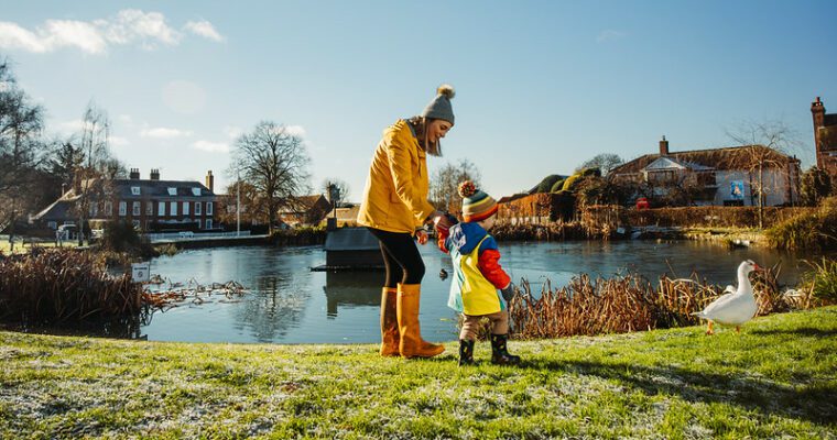
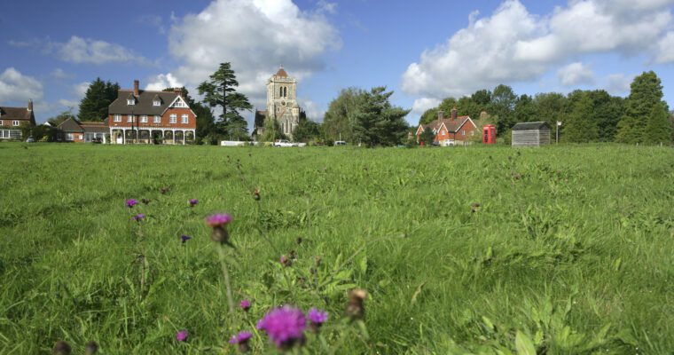
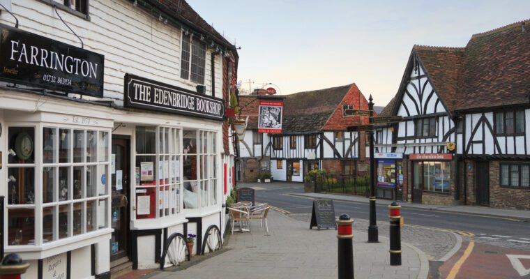
The park, once the grounds of a great house, is managed by Gravesham Borough Council. As you head towards the village of Meopham, there are spectacular views across the rolling landscape of the Downs. Take time to explore the village, which has earned a reputation as the longest village in Europe as a result of its distinctive linear development.
The village has grown from settlements in the area dating from the Stone Age. In the 13th century a village boy, Simon, entered the Church and eventually became Simon de Meopham, Archbishop of Canterbury.
Other notable village residents have included a father and son, both named John Tradescant, who devoted their lives to gardening and discovering new plants around the world. They were responsible for introducing many new species to the UK. Their work is commemorated in the naming of the village’s Tradescant Drive.
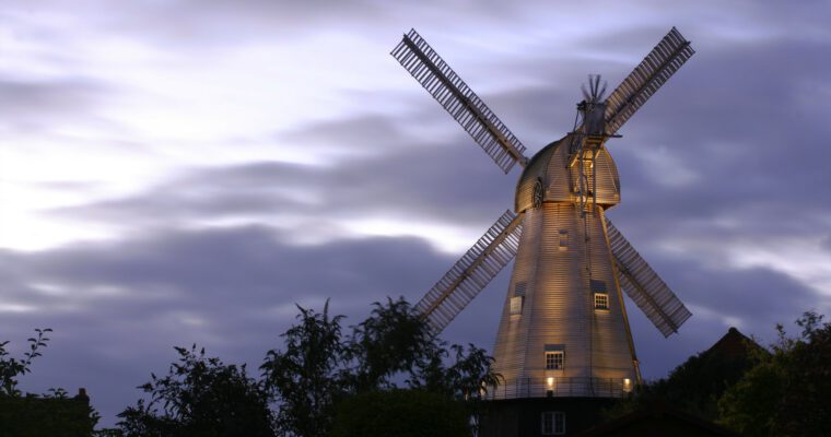
Meopham Windmill is a clear landmark. The smock mill was built at the beginning of the 19th century by three brothers. It is said they took advantage of old timbers from ships at Chatham Dockyard.
The mill was originally driven by windpower. An engine was installed in 1927. It has been restored and regularly opens to the public. It is the administrative base for Meopham Parish Council.
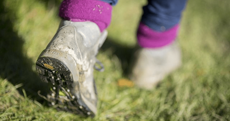
Step by step guide
1. Exit the car park and turn left to follow the road.
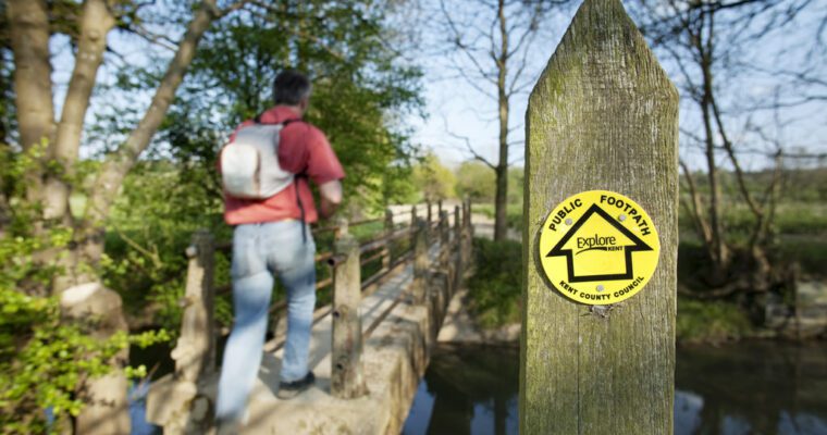
2. At junction with footpath turn left to go through kissing gate and continue along field boundary to the right.
3. Just after turning a bend in the corner of the field, bear right to head through a short wooded section leading to another field. Follow path across field towards trees.
4. After crossing field go through gap to enter into another field. Do not follow path straight on but turn right and follow boundary on the right.
5. Go through gap in the corner of the field and enter a short wooded section. Follow across track into another field. Follow the track, bearing right.
6. Follow track into another field and turn right, keeping to boundary as you continue on. Follow path to corner of field and continue into a wooded section. Bear right at a clearing in the woods to take the well worn path (fairly narrow and winding) to gate.
7. Pass through gate and follow path along top edge of field and down to kissing gate in right corner. Admire some good views on the left before passing through gate as the path heads to the road.
8. Pass through gate, cross road and go through kissing gate into a field. Follow path ahead, which bears left to corner of field.
9. Pass through gate and follow narrow path through a short wooded section and up a short flight of steps to enter into a field. Follow path straight on uphill. There are some good views at the top of this path.
10. Go through gate, turn right and follow byway.
11. After approximately 200 metres bear right, off the track through gate (follow the footpath arrow markers). Follow path through woodland. Once out of wooded section, cross garden and continue down driveway to road (The footpath runs across private property so please keep to the path).
12. Cross road and through gate into a field. Follow path straight ahead across field to gate.
13. Pass through gate to leave field and continue ahead. Follow path through 2 more gates and climb a short slope to the road.
14. Cross over road and follow path opposite, up a short flight of steps. At the top, pass through gate into field and continue to follow the path uphill. This section is fairly steep.
15. Go through gate and turn right to follow the boundary on the right, heading towards a gate. Go through 2 kissing gates to continue on path to the road.
16. Emerge from the path at Meopham Green, near the War Memorial. Turn right and head towards main road. Cross over onto pavement and turn right to head to Meopham. Cross over at the traffic lights just after the school and turn left to continue past bus stop.
17. On reaching Meadfield Rd turn right and right again into Cheyne Walk. Follow path and turn left into Warwick Gardens. Turn left again as you meet up with Cheyne Walk once more.
18. At junction of Cheyne Walk, turn left along Whitehill Road and follow to junction with The Street.
19. Cross over road to follow footpath into field. Bear right after the end of the short line of trees on the right - do not follow path straight ahead.
20. Follow path into short wooded section and into another field. Follow along boundary for 30 metres before turning left through a gap in the trees into another field. Follow path across field to the road.
21. On reaching the road, turn left to make your way back to the car park where you started.