Maidstone Journey Planner, Walking, Wheeling & Cycling Travel Map
We are excited to introduce a new Active Travel map designed to encourage Maidstone Hospital staff and visitors to travel on foot or by bike. This map, the first of its kind in Kent, was created in partnership with Kent County Council, and the Maidstone and Tunbridge Wells NHS Trust.
The map shows how far you can travel in 15 to 30 minutes by walking or cycling to and from Maidstone Hospital. With 7,000 staff members working at the hospital and several schools and colleges nearby, the local roads can get quite congested, especially during peak times. We hope this map will encourage more people to walk or cycle when traveling to the hospital.
The map places Maidstone Hospital at the center and highlights the distances to various train stations, including Aylesford, Barming, Maidstone Barracks, Maidstone East & West, East Malling, West Malling, and East Farleigh. It also features public footpaths, national cycle routes, and local bus routes in the area.
Maidstone is a wonderful county town featuring exquisite museums, historical buildings and an array of places to eat. With two railway stations, bringing your bike to Maidstone makes perfect sense.
Southeastern
Maidstone Hospital can be easily reached by Southeastern train. The hospital is a 13-minute walk from Barming station which is served by hourly Southeastern trains towards London Victoria (1 hour), Ashford International (37 minutes) and Maidstone East (5 minutes). There are two trains per hour on weekday mornings and late afternoons. There is a bus (service 3 operated by Arriva) that runs from Maidstone Hospital to Maidstone town centre via Maidstone West station, which is served by regular Southeastern trains towards Paddock Wood and Strood. Maidstone East station is just a short walk from the town centre,
with frequent direct services towards London and Ashford.
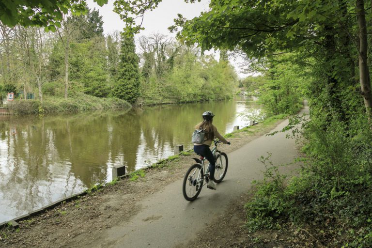
Visit for the day and hit the recently opened Medway Towpath that runs from Aylesford to East Farleigh. Featuring primarily riverside cycling, you’ll pass interesting places to visit along the way and places to simply sit and watch the wildlife under the shade of a weeping willow tree. Alight from your saddles at Maidstone to explore the museum and admire the pretty Archbishops Palace that stands prominently on the banks of the river.
Try out Active Travel…
Use the network of signed on-road cycle routes and traffic free routes to commute into work and beat the daily traffic jams. Plan your journey using Kent Connected and remember you can take your bike on any Southeastern train unless the train arrives or departs London during peak hours – but you can take a fold up bike anytime.
Get to the heart of the action using National Cycle Route 17 and use the selection of cycle parking facilities located in the town to park up and head off to the shops or for a bite to eat in one of the many cafes, restaurants and bakeries that Maidstone boasts. You don’t have to be a cycling expert to use a cycle route, simply look out for the blue National Cycle Route signposts guiding your way.


