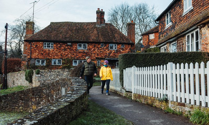
Walk Upgrades

Some stiles have been changed for gates

ParkingToilets
Kent Downs National Landscape logo
In partnership with Kent Downs National Landscape
Kemsing Walk
Kemsing WalkDownload
Route type
circular
Distance
6.5 mi10.46 km
Distance from train station
2.5 mi
Gates
6
Stiles
18
Start postcode
TN15 6NA
Town
Kemsing
Area
Kent Downs National Landscapes
Nearest train station
Kemsing
OS Explorer Map
147

Plan your journey

Compare the smartest ways to get to your destination.

Powered by kentconnected.org

This challenging 6.5 mile route passes through the beautiful village of Kemsing and offers walkers magnificent views across the Weald of Kent. The village of Kemsing was first recorded in AD 822 and is a fascinating start point for the walk. The Church of St Mary the Virgin dates from 1060 and features a Norman Fort. The walk ascends and descends the North Downs and patha can be muddy and slippery after rain.

Map is loading...

Share by email

Complete the fields below
Required

You can also share this with others too

These details will not be saved anywhere or used for any purpose other than sending this one-off email