Darent Valley Rail Trails – Downs and Butterflies
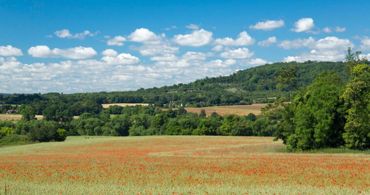
A 2.7 mile circular walk visiting Otford chalk pit and Fackenden Down nature reserve, notable for its chalk downland and butterfly species.
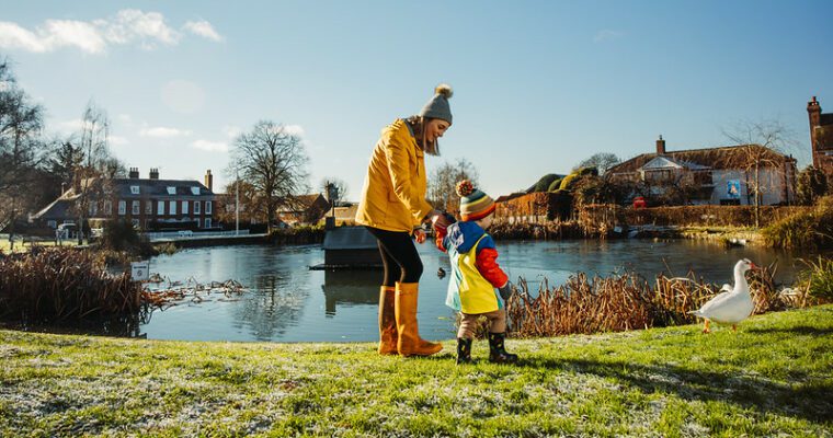
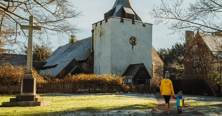
Whether you have an hour or a whole day, the Darent Valley Trails app, downloadable free from the App Store and Google Play, will take you on a magical tour through a rich heritage of history, meadows, valleys and streams, lavender fields, mills, and wildlife, along waymarked paths, with a distance to suit everybody.
There are 17 new new Rail Trails in West Kent, with the choice of both circular and linear routes ranging from 2.5 to 9 miles. All the routes start and end at mainline train stations, so you can go green and leave the car at home. Once you’ve downloaded the app, the trails can be used offline as you explore the remote and tranquil countryside.
Downs and Butterflies
- Explore a section of the North Downs Way National Trail
- Discover Otford Chalk Pit
- Climb to the highest point on the walk: Otford Mount Trig Point
- Enjoy the panoramic views offered from Fackenden Down, a reserve noted for its butterfly species