Hythe Circular Walk


Overview:
The Hythe Circular is a gentle, step‑free route that blends sweeping coastal scenery with the calm, wildlife‑rich banks of the Royal Military Canal. It’s an inclusive, easy‑going walk suitable for wheelchairs, mobility scooters and pushchairs, with smooth paths, gentle gradients and frequent places to rest.
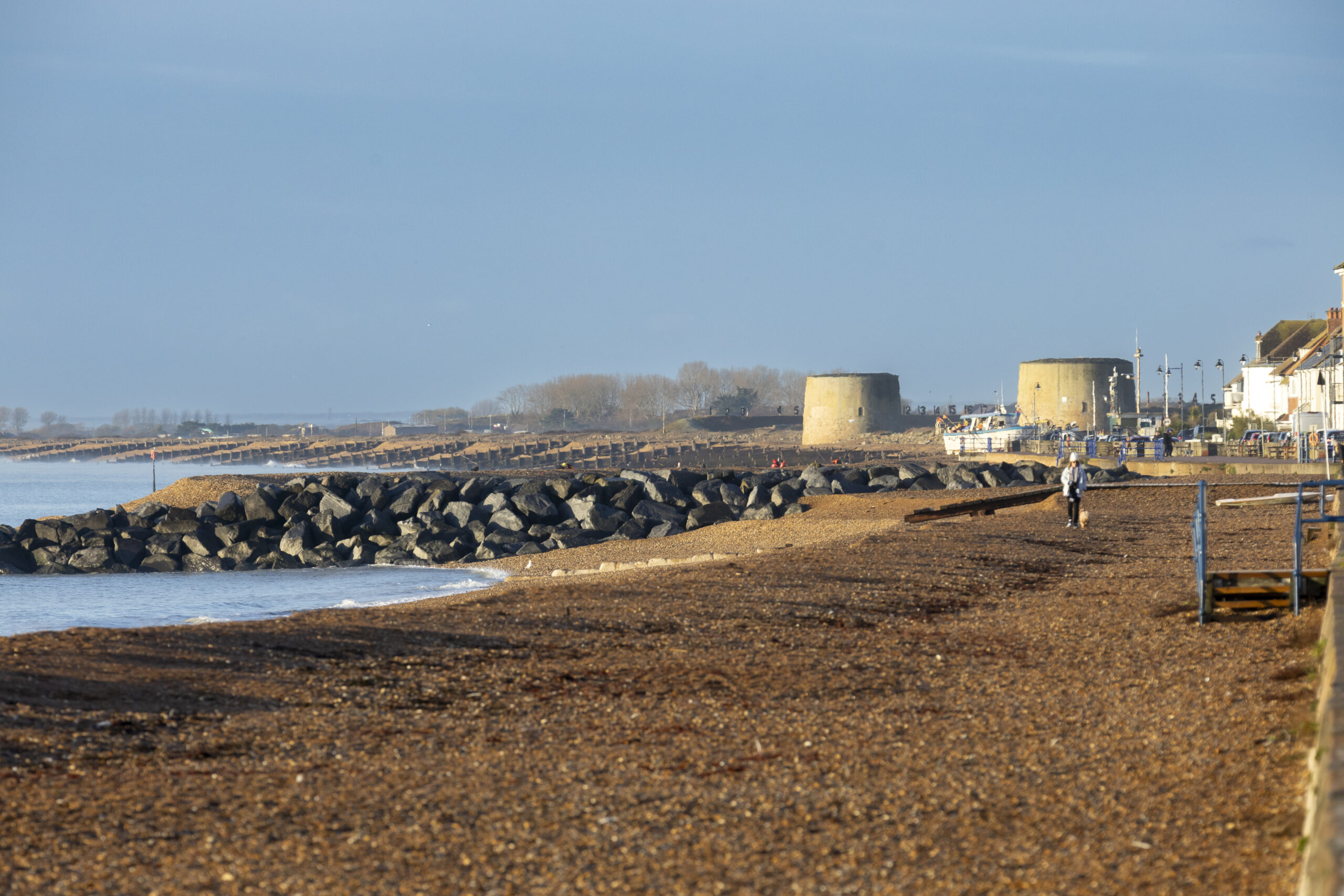
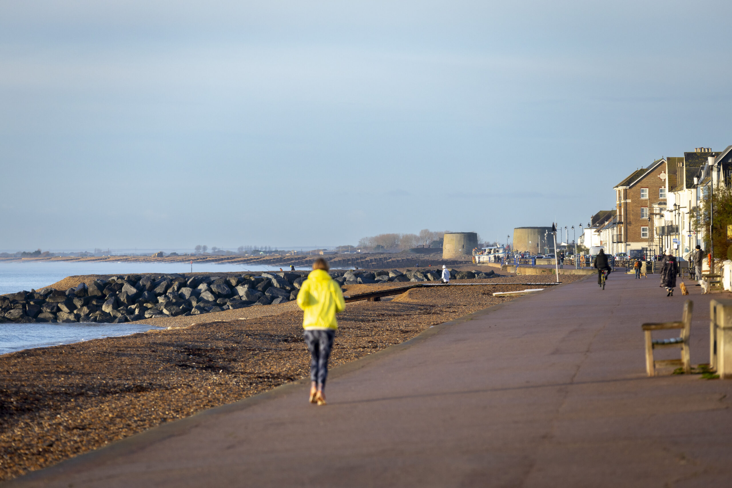
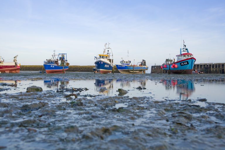
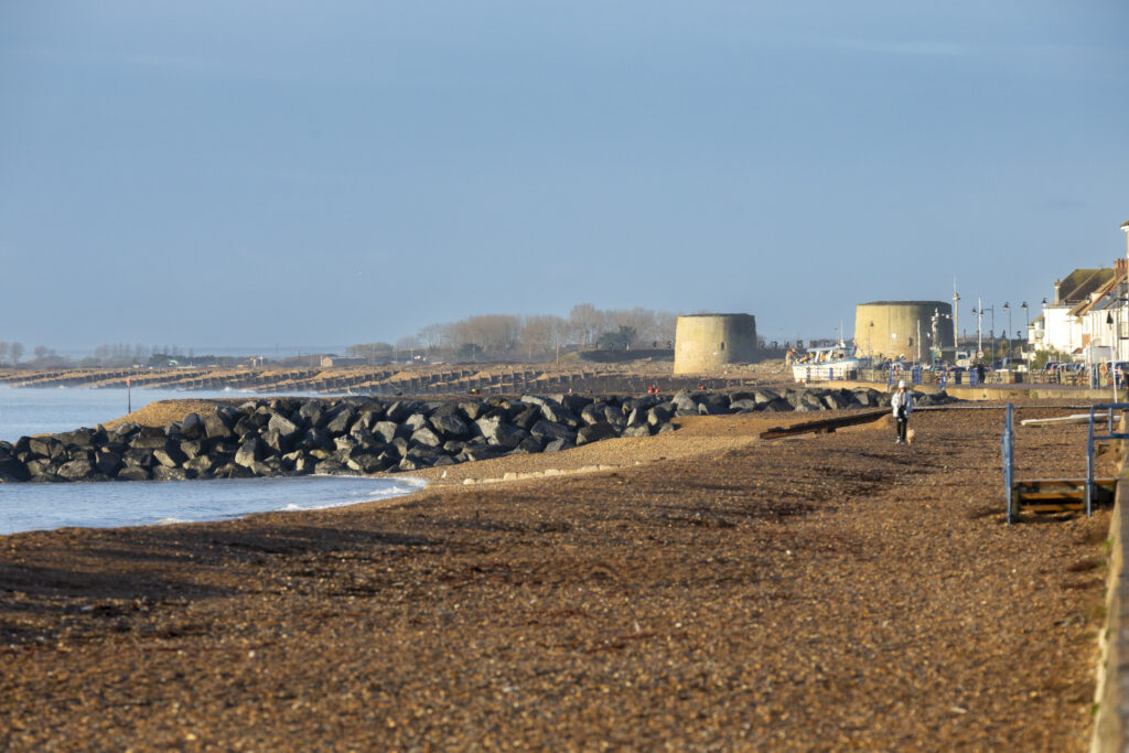
The walk begins beside the sea on Princes Parade, where the wide, even promenade runs parallel to the shingle beach. This first stretch offers uninterrupted views across the Channel towards Dungeness, with regular benches for taking in the coastal panorama.
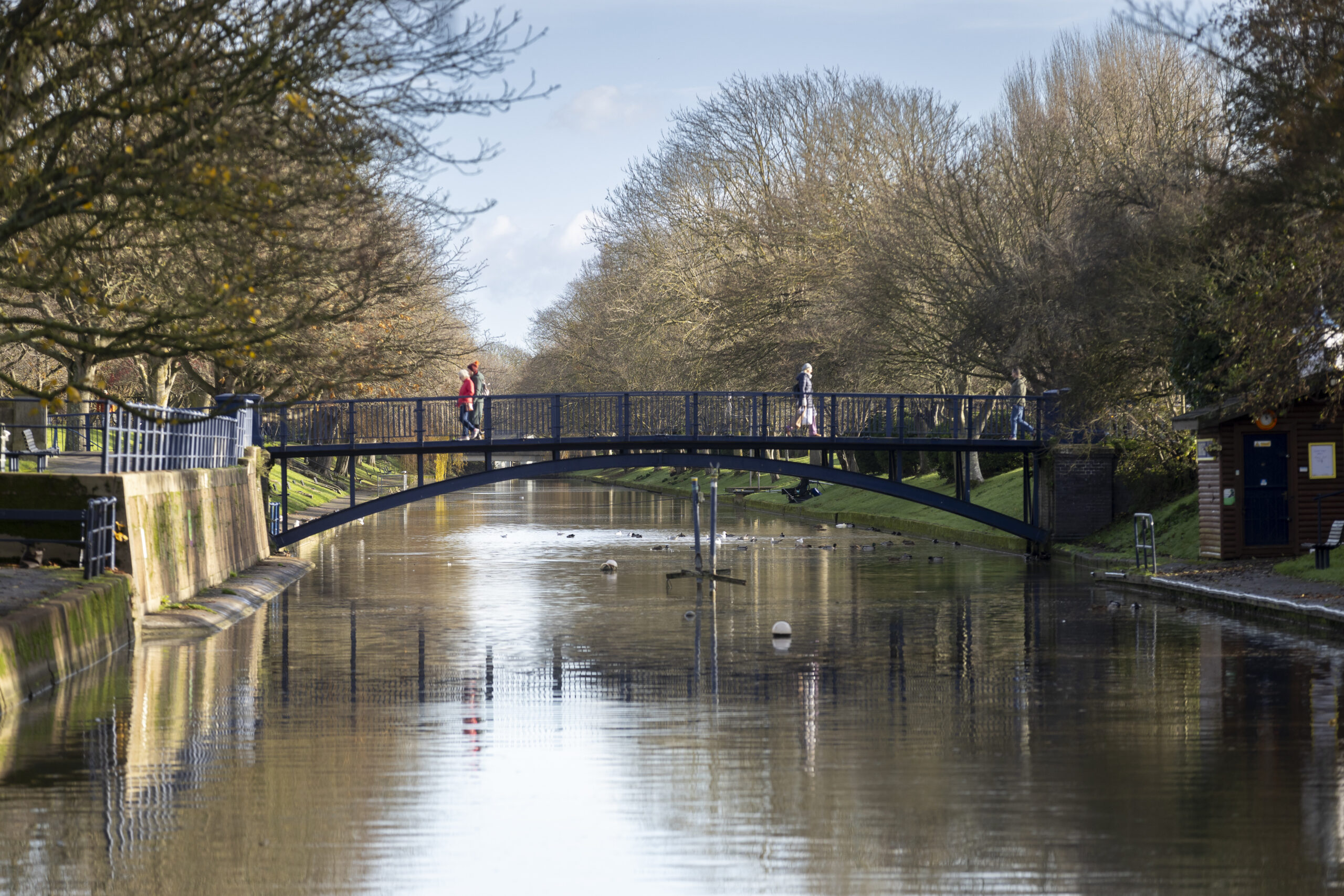
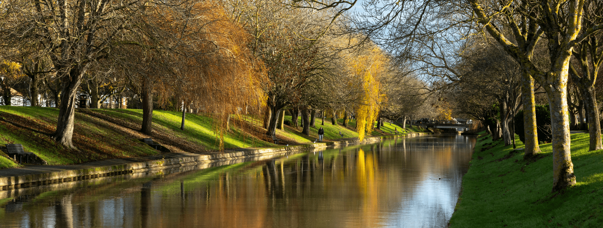
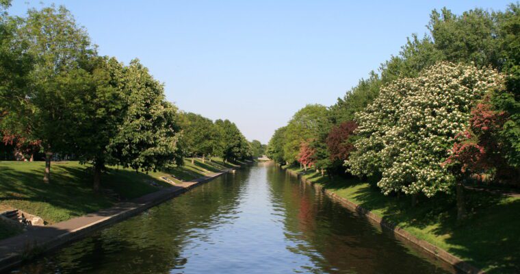
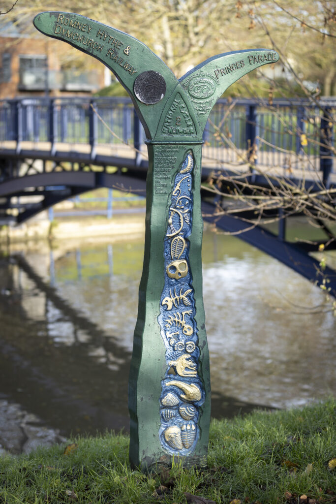
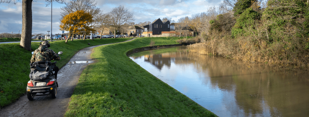
A short distance inland lies the historic Royal Military Canal, built in the early 1800s as a defence against Napoleon. Today it’s a peaceful green corridor, home to dragonflies, marsh frogs, kingfishers and a variety of waterfowl. The northern towpath is particularly accessible, with wide surfaces, rustic oak benches and interpretive panels that bring the canal’s history and ecology to life. The nearby Romney, Hythe & Dymchurch Railway – the world’s smallest public railway – adds a charming touch of local character.
As the route continues, it passes Hythe’s cricket ground, Oaklands Park and the Princess Diana Memorial Sensory Garden, before reaching the town’s distinctive bandstand, a hub for summer music and community events. The walk also skirts Hythe Green, an open, tree‑lined space often used for gatherings and activities.
The final section returns to the seafront, where the promenade widens and offers more benches, sea views and nearby facilities. The loop finishes back at the starting point on Princes Parade, rounding off a relaxed and varied walk that combines coast, canal, heritage and nature.
Follow the Trail using Google Street View:
Use the 360° view alongside the route guide to help you prepare and get a visual feel for the journey ahead.
