
Horsted Valley

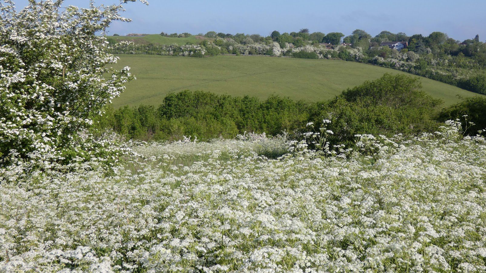
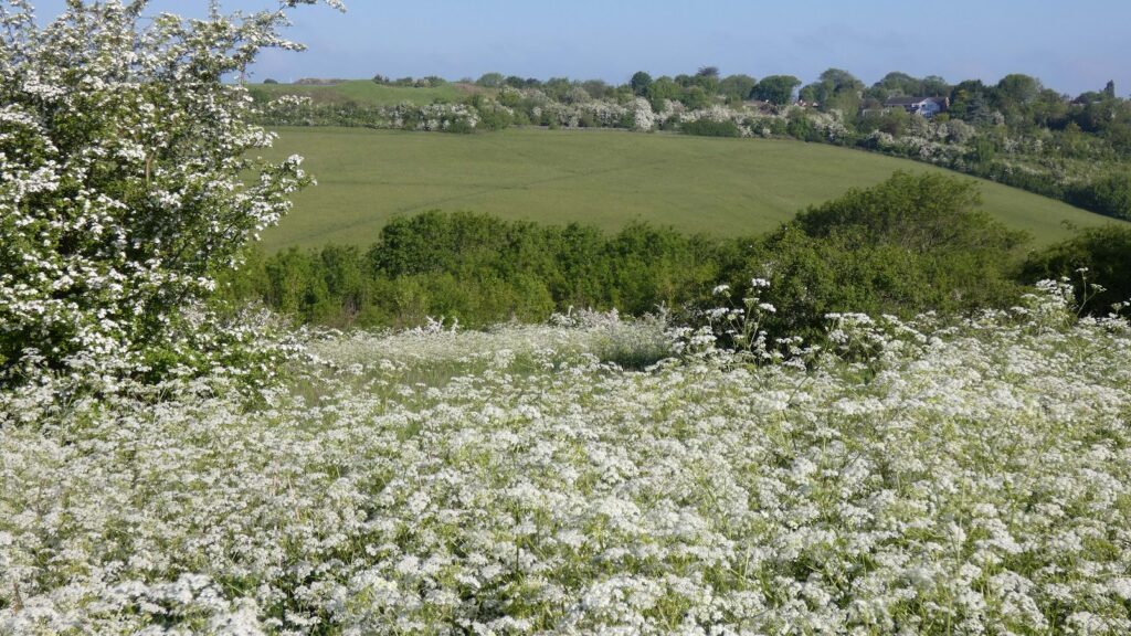
Horsted Valley is a stunning natural landscape that stretches from the housing developments of Walderslade and Chatham all the way to Luton. The area has been protected from development in order to preserve its breathtaking scenery and important wildlife habitats. It serves as a vital wildlife corridor, connecting the heart of Medway to the picturesque Kent countryside.
The valley itself is a dry, dip slope valley that starts at the top of the North Down near Rochester Airport and continues northeast towards Luton in Chatham. It’s a characteristic feature of the North Downs, similar to valleys found in Capstone and Darland. Surrounded by extensive housing developments, the Horsted Valley is a mix of formal, informal, and natural greenspaces. At the southern end of the valley, the greenspaces connect to the open space of Rochester Airport and the stunning Kent countryside.
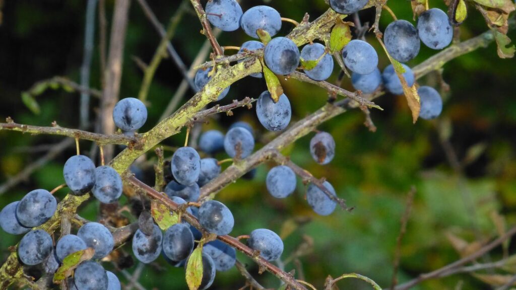
It’s fascinating to note that historical maps and aerial photographs from the 1940s and 1950s reveal that the majority of the valley was originally grassland, woodland, and arable farmland. In fact, all the land to the east remained undeveloped until the 1960s. This has crucial implications for future management, as the remnants of woodland and chalk grassland support important species, including the nationally scarce man orchids, which thrive in open chalk grassland environments.
You can also explore the surrounding areas with a local walking group. For more information about any local groups, you can visit the Medway Health Walks Location list on Medway Council’s website.
Parking:
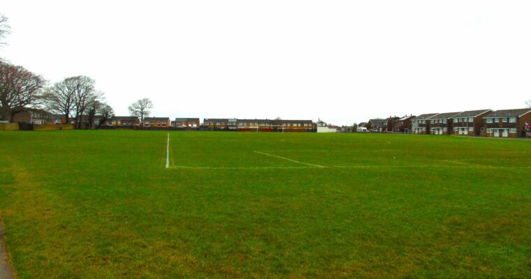
The Horsted Valley is essentially surrounded on all sides by roads, as can be seen from
Figure 1 – Boundary, and Figure 3 – Main Access Points. There is a car park at the
end of Barnfield Road (567340, 165747), which is mainly used for the playing fields,
otherwise all access is on foot from the adjacent housing and on street parking.
Easy access information
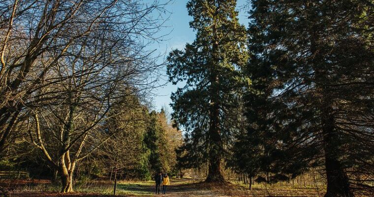
The paths are mostly small unmade tracks and all of them will have areas of incline due to the valley setting. There are steps on some of the circuits, as marked, but no stiles, and some paths may be slippery. Please see attached map for information on steps and waymarked trails.

