Explore Sevenoaks

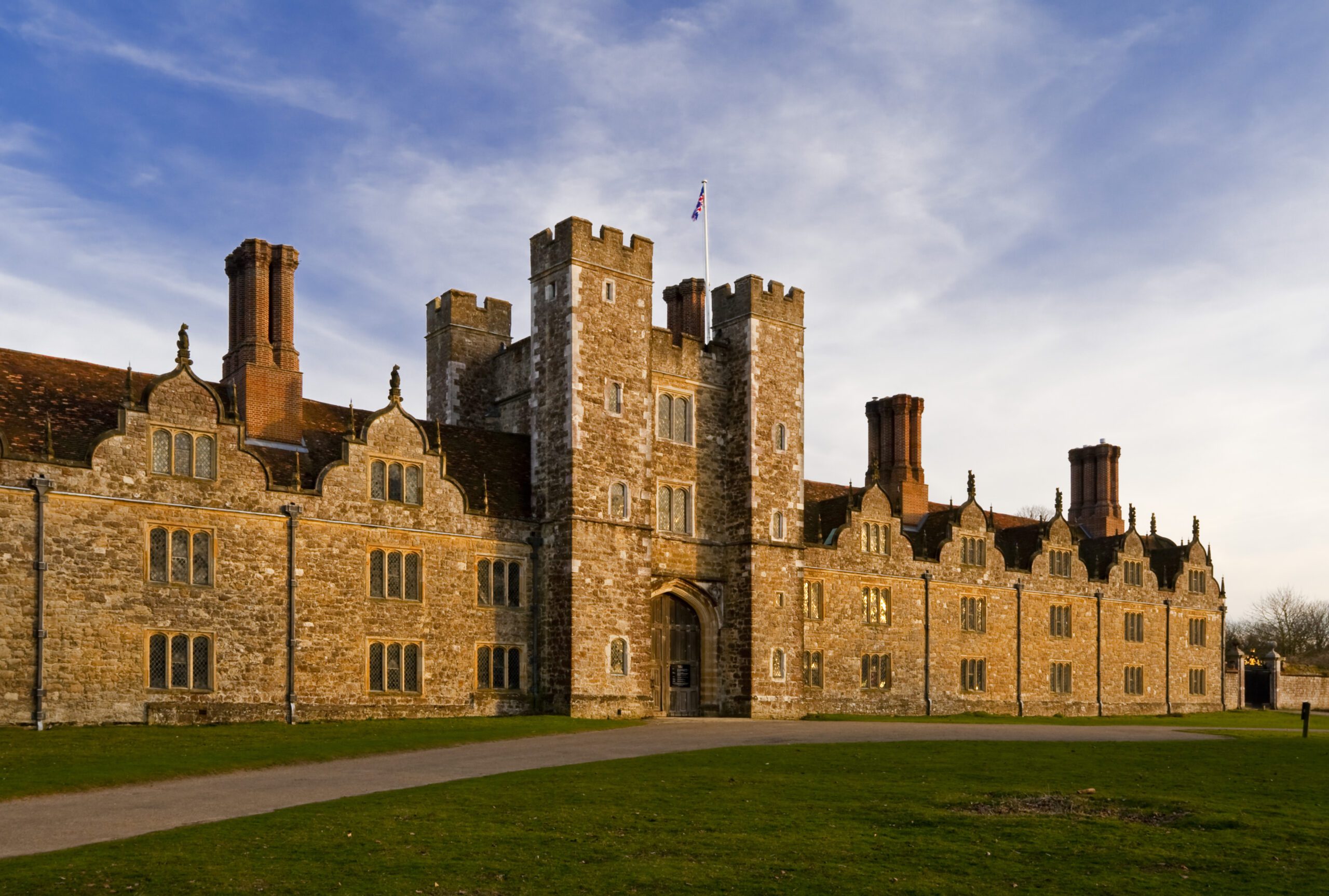

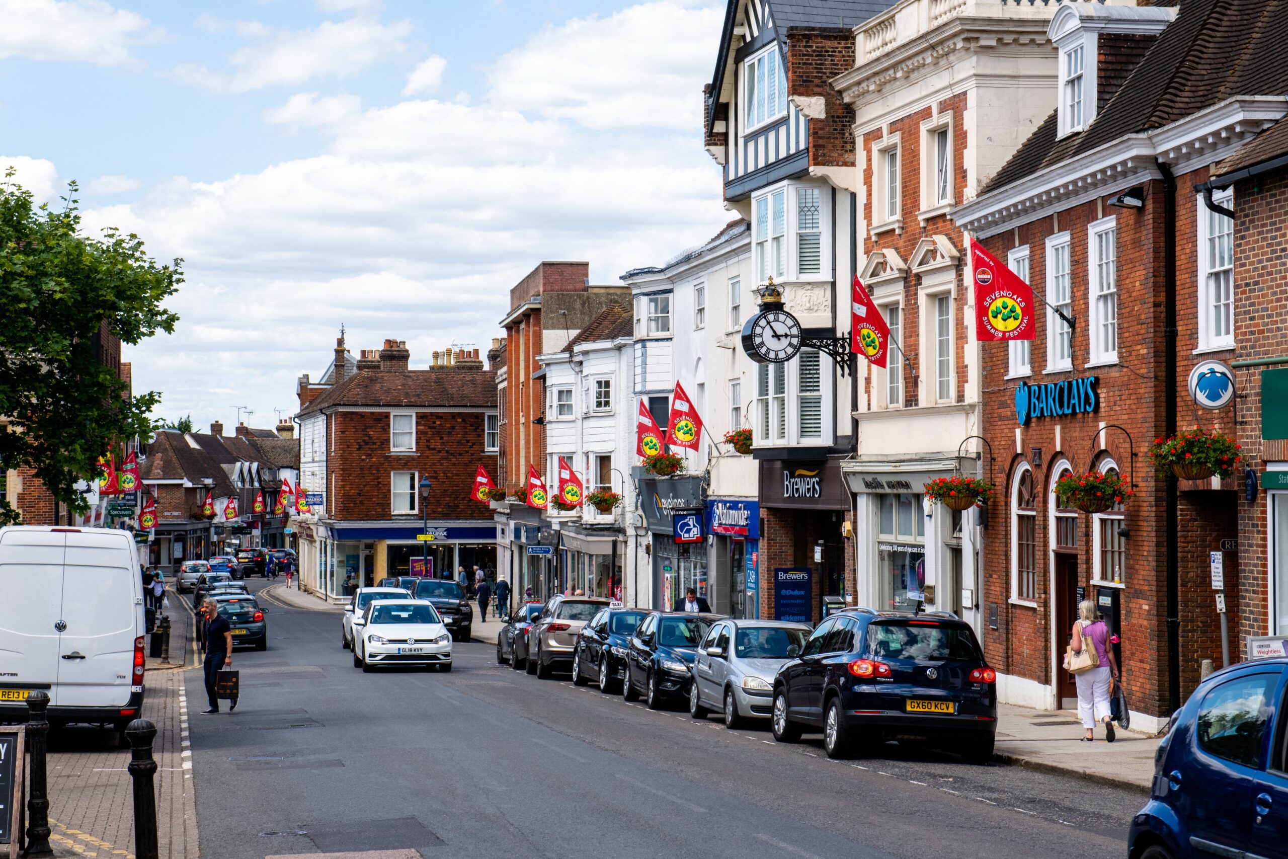

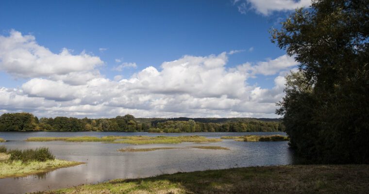
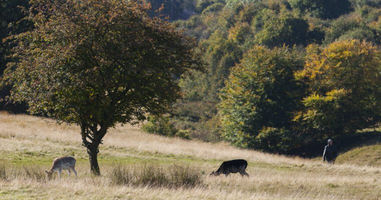
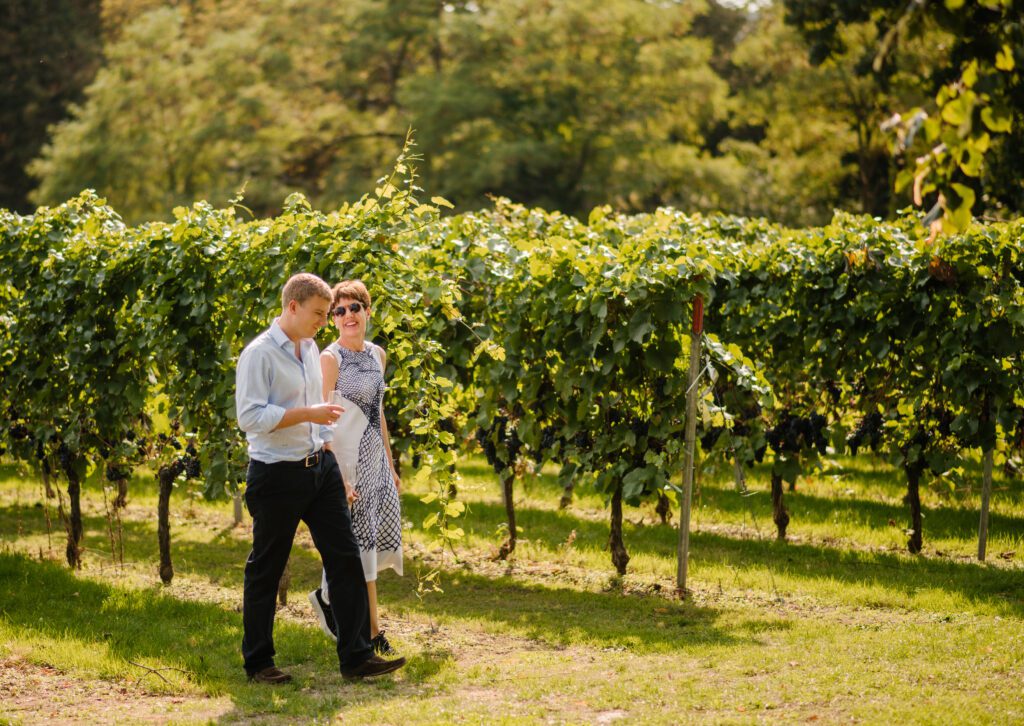
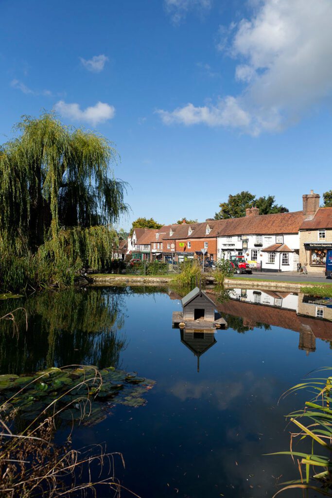
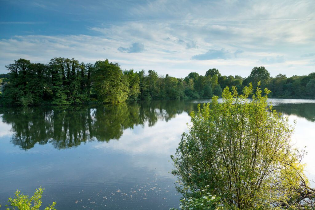
Sevenoaks holds some of England’s most enchanting places, such as stunning stately homes and beautiful gardens, as well as the picturesque landscapes of lapping hills in the Kent Downs AONB and the rolling North Downs. Overflowing with atmosphere, vibrant shopping streets, architectural treasures and appealing places to eat and drink, Sevenoaks provides a taste of traditional Kentish life.
Getting Around Actively
There are great rail and road links from the centre of London as well as the cross-Channel route via Eurostar, Eurotunnel and passenger ferries from the Port of Dover. Once you have arrived in Sevenoaks you can explore the areas around the town by either walking or hopping on a train. There are several long-distance walking trails that are great to try when exploring the area.
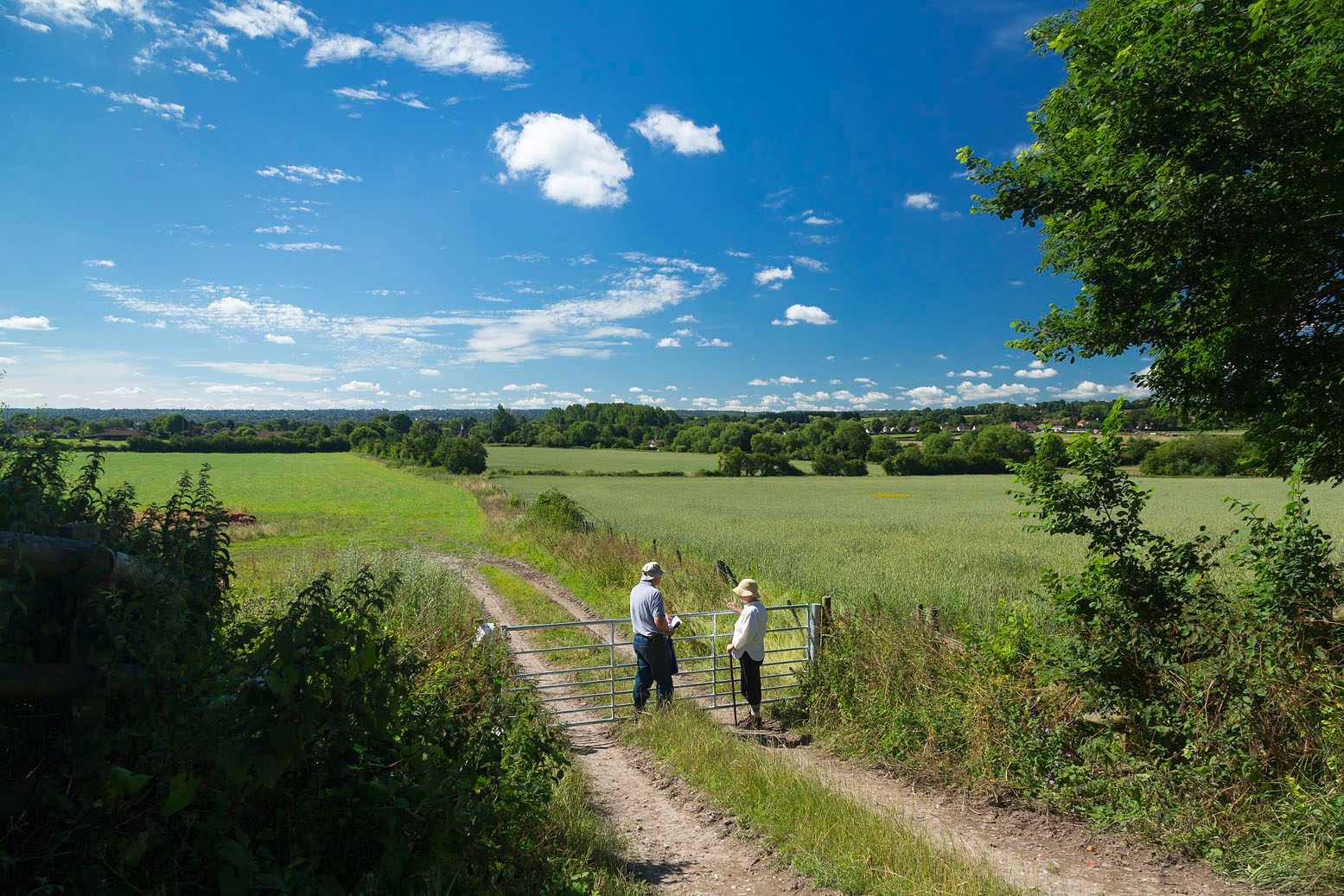
Travelling by foot is always a good way to explore Sevenoaks. Walking trails will help you make the most of your time here and to enjoy the winding lanes and streets, all with their own unique identity.
Leaving the car at home for some trips will save you money and reduce emissions and it’s easy to travel by train to the surrounding villages. It also allows you to be active as part of your daily routine, helping you to stay fit and healthy. Take a close look at the map and see how easy it is to walk or cycle from your home to the station, school, or town centre.

