Explore Medway Walking & Cycling Routes
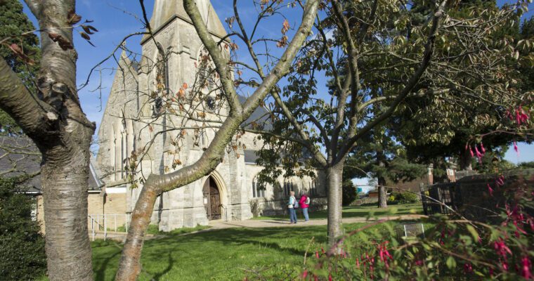
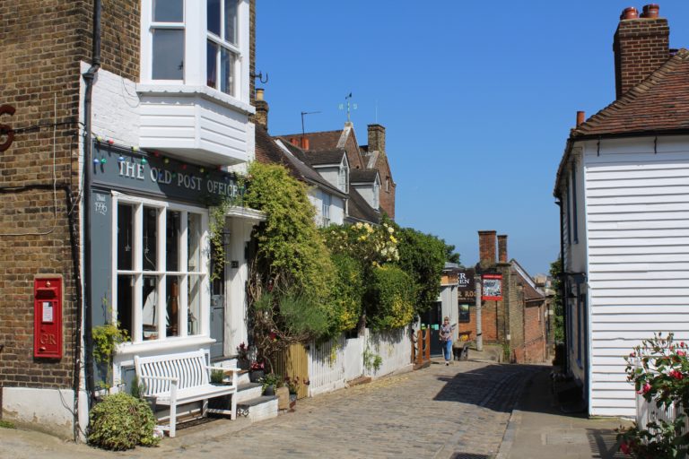
Medway is a bustling area situated alongside the River Medway. It is made up of five main towns including Chatham, Gillingham, Rainham, Rochester and Strood, and the diverse landscape of the Hoo Peninsula.
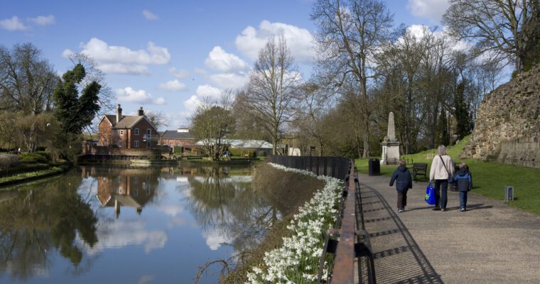
Medway’s community is vibrant and diverse, making it a fantastic place to live and work. There are extensive public footpaths and cycle routes, perfect for exploring the area on foot or by bike. You really get to see so much more this way!
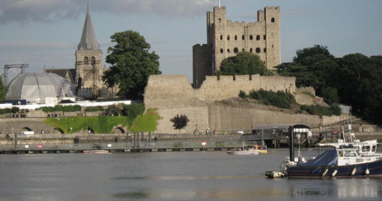
Medway has a fascinating military and maritime history. The Chatham Dockyard is a must-visit, where you can step back in time to when the docks were bustling with activity. Although the Dockyard closed in 1984, it’s now a popular tourist spot that draws many visitors.
The River Medway is central to the area’s history and is rich in wildlife. It’s a popular spot for watersports and sightseeing, adding to the area’s charm.
Active Travel in Medway
Getting around by walking or cycling gives you the chance to view your journey in a fresh, new way and it might be a lot easier than you think. Using the Medway Active Travel map, why not give it a go for your next commute? You could get off the bus a stop early or park out of town and walk or cycle the last bit. Active Travel is great for your physical and mental health. Cycling can also be quicker, allowing you to avoid the traffic jams.
Public Transport
Arriva operates several key routes, including the 101 from Gillingham to Maidstone, which frequently runs during peak times. Medway is also well-connected by train, with stations in Chatham, Gillingham, Rainham and Rochester. Use the map to identify key routes from the stations to continue your journey by rail or walking. Southeastern trains allow bicycles on their services, but there are some restrictions during peak hours.