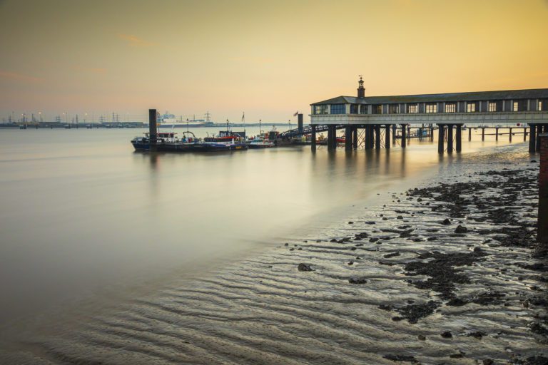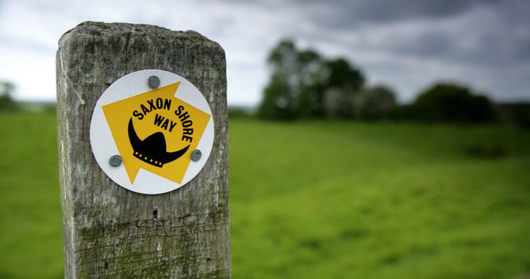
This delightful route across the chalk ridges of the North and South Downs and through the Weald stretches for almost 80 miles (126.8km).
Every year, many walkers complete the whole route, but others delight in exploring short sections at a time and savouring the diversity of landscapes to be enjoyed along the way.
There are walks along the Wealdway to suit all tastes from facing the dizzy heights of Beachy Head, taking a refreshing walk in the footsteps of Neolithic ancestors or Pilgrims on the North Downs with their dramatic views, or exploring sleepy Wealden hamlets.
The key towns along the route, including Gravesend, Tonbridge, Royal Tunbridge Wells with its famous Pantiles, Uckfield and Eastbourne offer numerous attractions to please walkers of all ages.
The changing landscapes reflect the many uses people have found for their local natural resources, ranging from the fertile soils of the river valleys through to the iron ore and wood which fuelled the Wealden iron industry.
The Wealdway passes through many areas which have been attributed special significance in the past for the construction of Neolithic long barrows and megaliths, as well as numerous ancient churches.
Getting the route
The new Wealdway guide is now available to purchase on the Kent Ramblers website alongside other guides. To find out more, click here.
Alternatively you can follow the route using an OS Explorer Map. The whole route is covered by OS Explorer maps 163, 148, 136, 147, 135 and 123. It is possible to click and collect Ordnance Survey Maps for free at Kent libraries – reserve yours online.


