Chilham East Lost Landscapes Walk
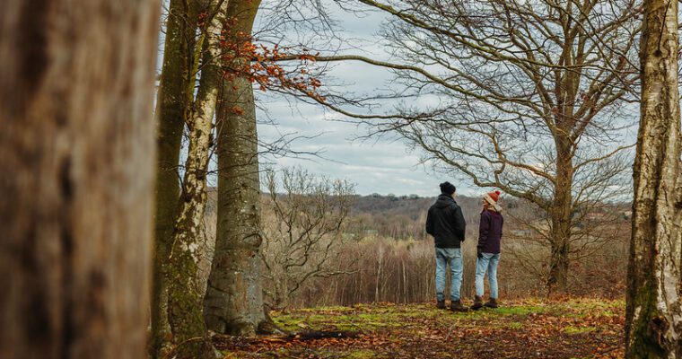
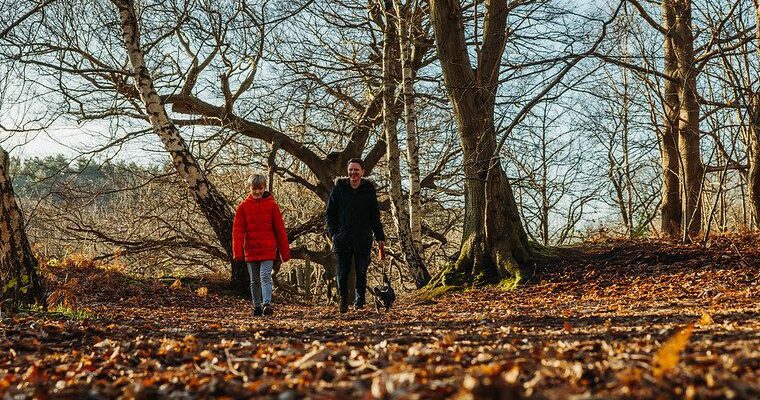
This 4.5 mile trail explores both sides of the Stour Valley, to the north and east of Chilham, past lovely traditional orchards, through the wonderfully named Old Wives Lees and on to the spectacular views and Neolithic heritage of Julliberrie Down.
The Chilham Heritage Trails have been carefully designed to take in the best heritage features of the area. As you walk you will find that the history has been brought to life by the contributions of local people.
More information about the walk and a map and guide are available in the Lost Landscapes Heritage Trails Chilham leaflet, which you can download to the right of this page.
This walk has been created by the North Downs Way National Trail and uses a section of the North Downs Way.
Please note the Lakeside Loop mentioned in the route guide is no longer available to the public.