We are restoring and updating parish maps across Kent to help everyone enjoy spending time outdoors and exploring their local area. These new parish maps will be displayed in parish greens. Presented as clear, easy-to-read physical maps, they show up-to-date walking routes and public rights of way, helping people find their way around the parish with confidence.
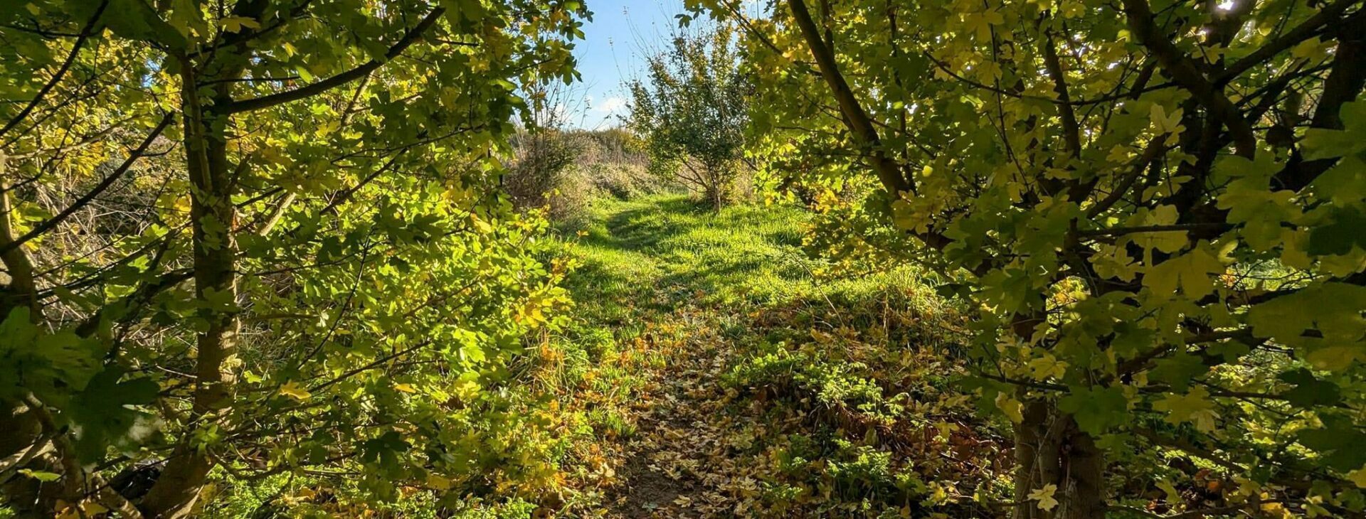
Walking close to home is one of the easiest ways to stay active, boost wellbeing and enjoy time outdoors. By making local routes clearer and easier to understand, the parish maps encourage people of all ages to get out, explore more and make the most of Kent’s green spaces right on their doorstep.
Exploring Your Parish
Each parish map focuses on helping you explore the local area with confidence. The maps are designed for everyday use and include a range of helpful information to support walking and discovery close to home.
On each map you will find:
- Indicative public rights of way, showing the general alignment of footpaths, bridleways and byways within the parish
- Key walking routes and connections, helping you see how paths link villages, green spaces and local facilities
- Information about the parish, including local features and points of interest
- Links and signposts to further information, so you can find out more about walking routes, public rights of way and exploring Kent
Whether you are heading out for a short walk or exploring a new part of your parish, the maps make it easier to plan your route and feel confident about where you can go.
Below you can find links to individual parish maps as they become available. Each parish has its own dedicated webpage, where you can find map details and information about walking routes in that area. More parish maps will be added as the project continues across Kent.
Working with the Ramblers
This project is delivered in partnership with the Ramblers, who work to protect walking routes and promote access to the countryside across the UK.
The Ramblers play an important role in supporting public rights of way, working with volunteers and encouraging people to enjoy walking safely and responsibly. Their involvement helps ensure the parish maps are practical, accurate and useful for everyday walkers.
Public Rights of Way in Kent
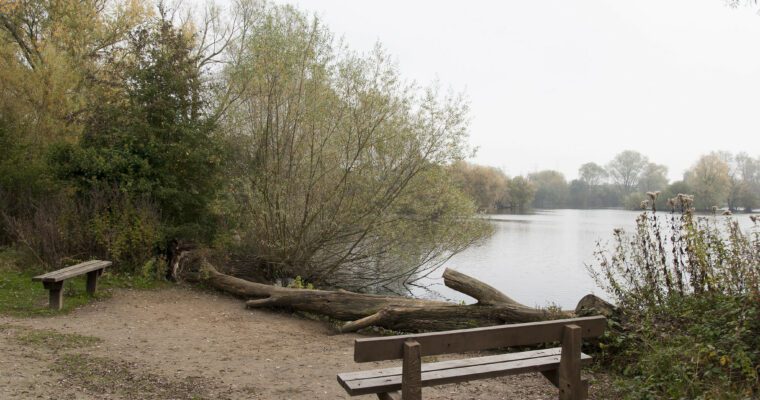
Kent has an extensive network of public rights of way that allow people to walk, explore and connect with nature across the county. These routes are vital for:
- Access to the countryside
- Everyday walking and active travel
- Supporting health and wellbeing
- Connecting communities and local places
Our updated parish maps include accurate and up-to-date public rights of way information, helping raise awareness of the routes that are open and available to everyone.
You can find more information about public rights of way on Explore Kent, including guidance on how to use them and how to report issues that may affect access.