Whitstable to Herne Bay


Overview:
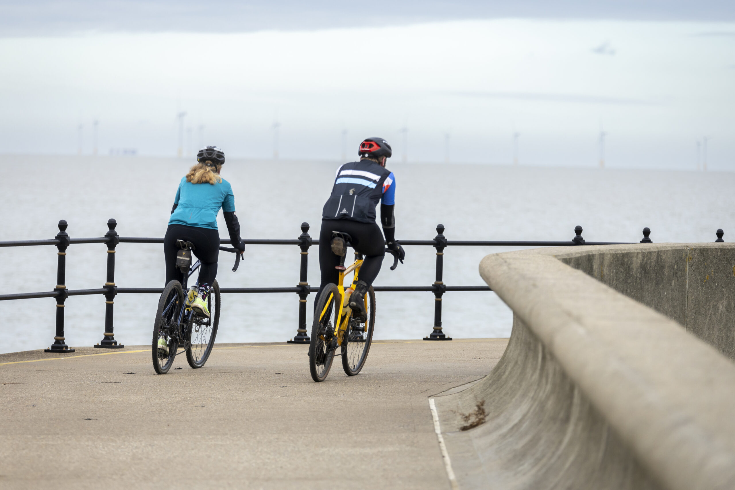
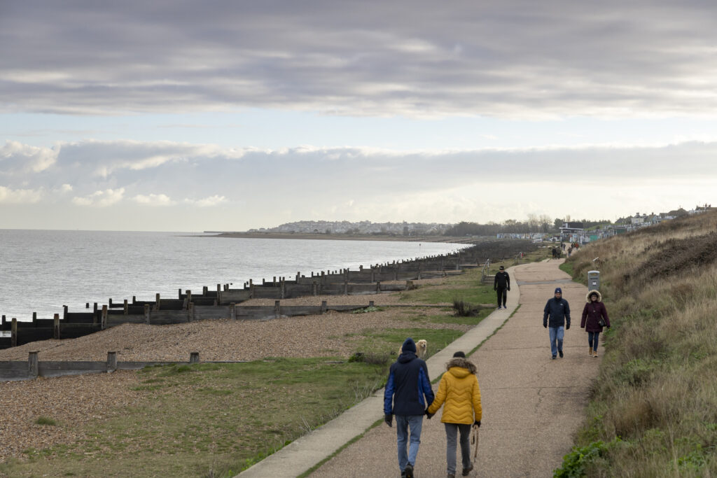
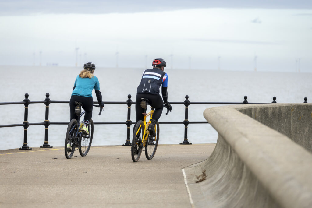
This gentle seaside walk links Whitstable and Herne Bay along a flat, fully accessible stretch of the King Charles III England Coast Path. It’s a route known for big skies, sweeping sea views and a relaxed, friendly atmosphere.
The walk begins in Whitstable, a lively harbour town with cafés, beach huts and a strong coastal character. Very quickly the landscape opens out to reveal one of the area’s most striking natural features: The Street, a long shingle spit that appears at low tide like a pathway stretching into the sea.
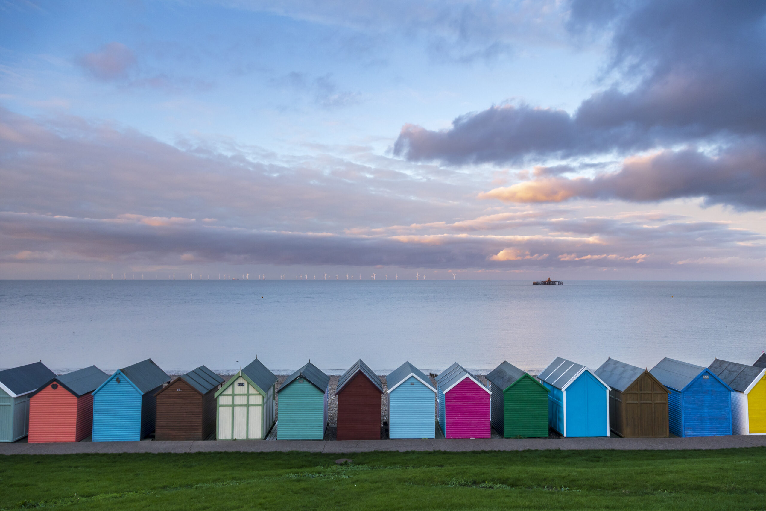
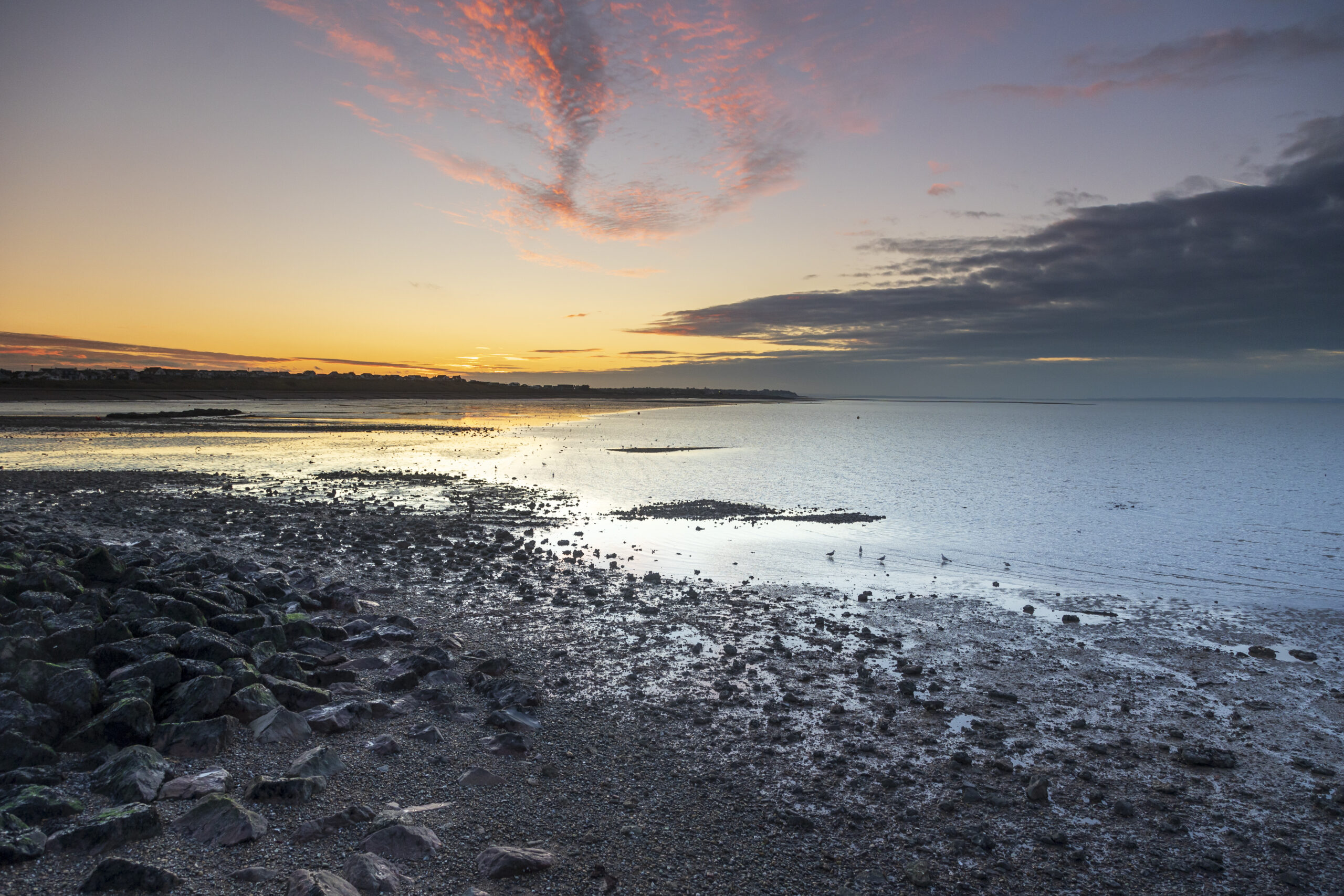
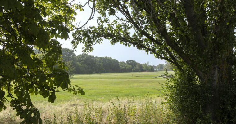
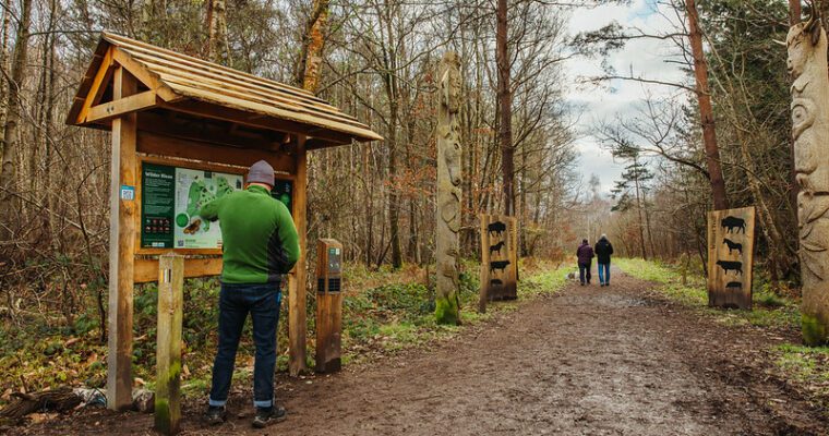
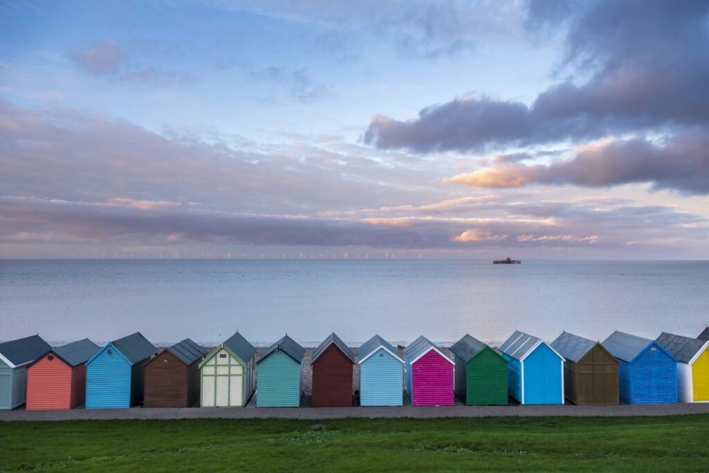
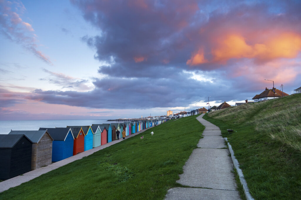
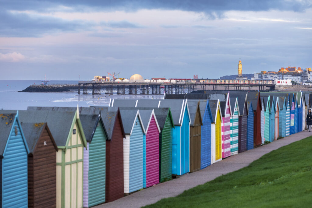
As you continue, the shoreline is lined with colourful beach huts, the grassy rise of Tankerton Slopes, and the small sailing boats of Tankerton Bay Sailing Club. The route then leads into Long Rock Nature Reserve, a rich mix of wetlands and coastal habitats that attract wading birds and migrating species throughout the year.
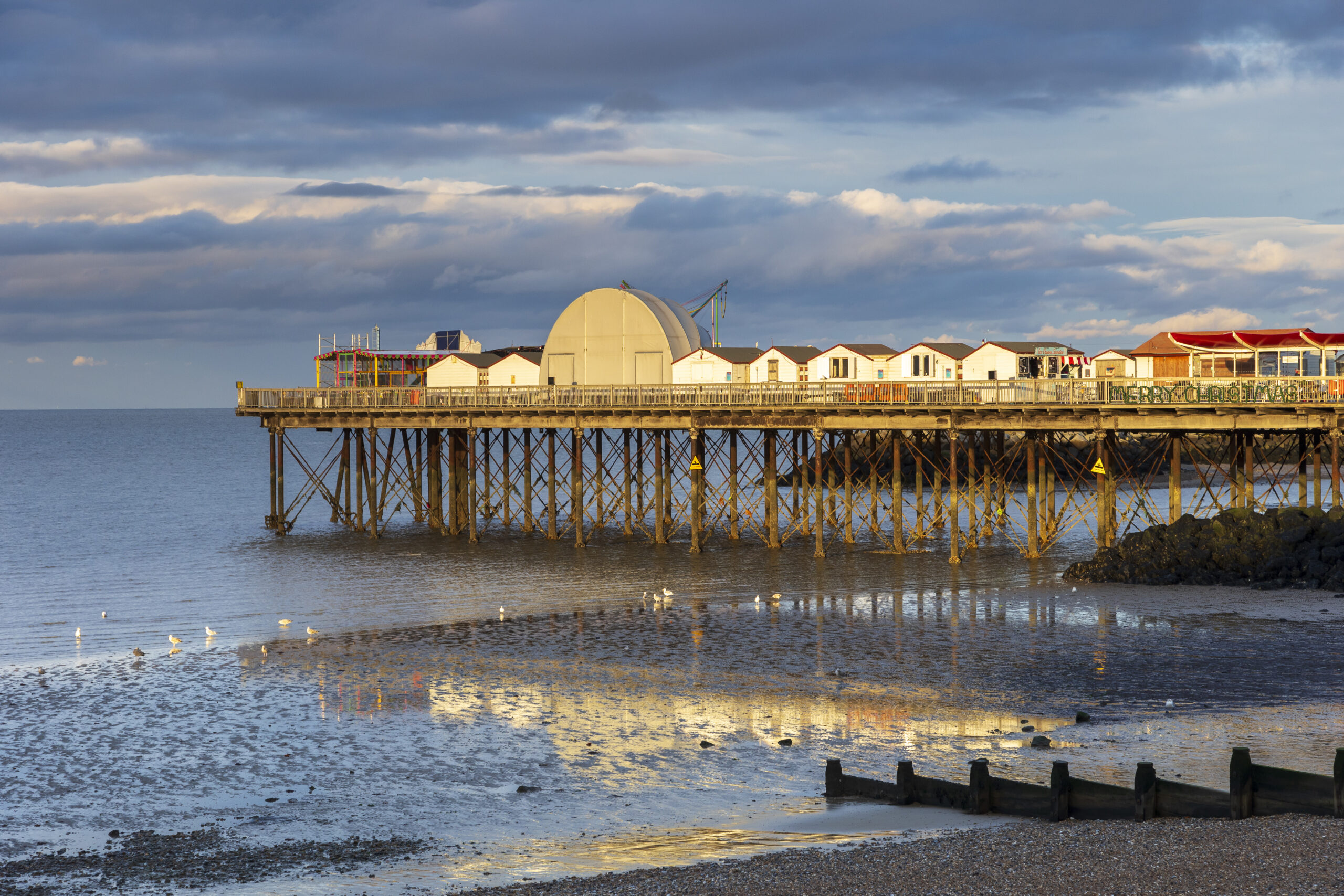
Further along, the scenery shifts between beaches, open green spaces and family‑friendly areas such as Hampton Beach. The path gradually rises to give wide views across the bay before reaching Herne Bay Pier, a lively, accessible landmark with amusements, cafés and plenty of places to rest.
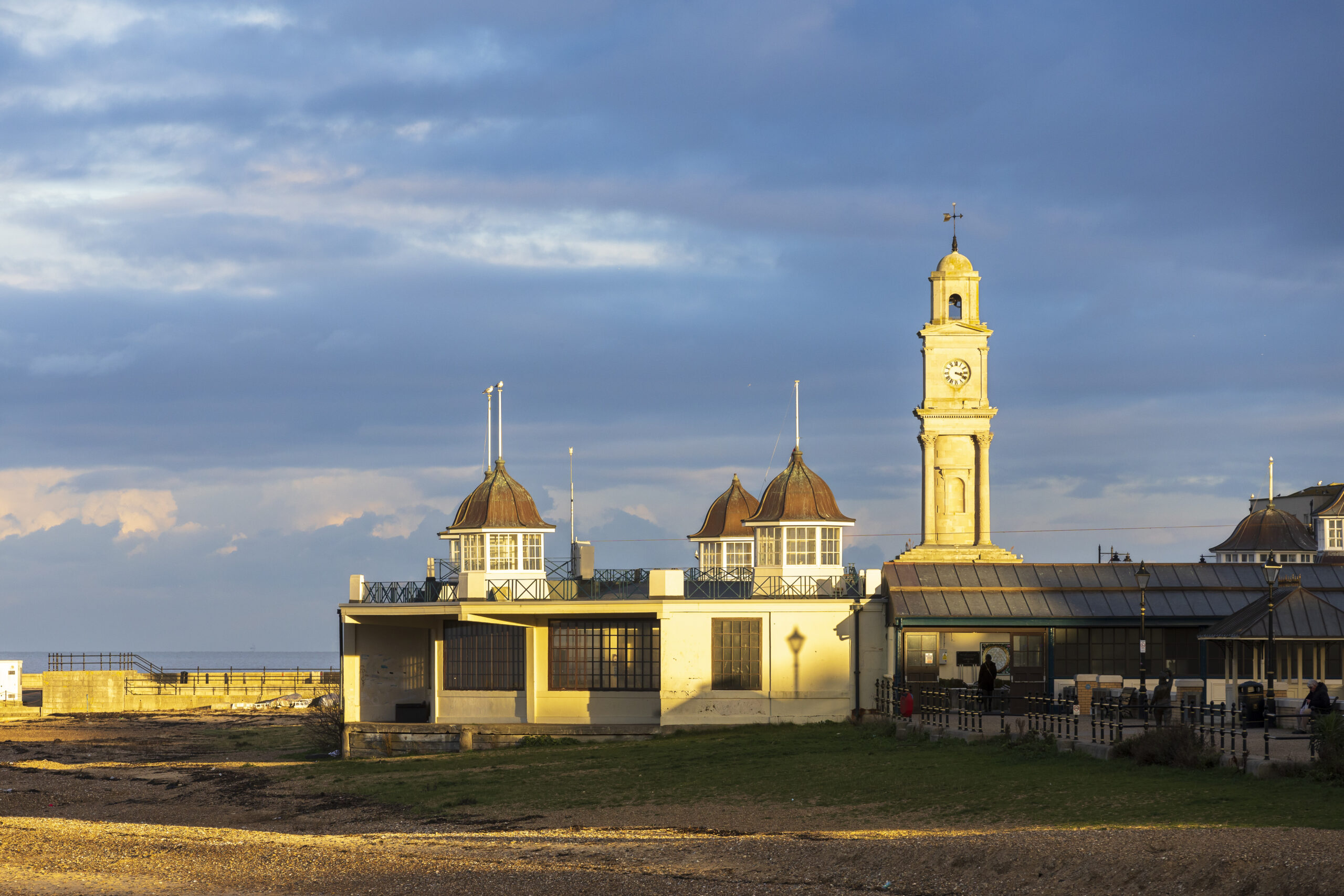
The final stretch passes the beautifully restored Central Bandstand, often home to summer music and events, before ending at the historic Clock Tower, one of the earliest free‑standing examples in the country. Herne Bay’s seafront cafés, restaurants and transport links are all close by, making it easy to relax or continue your journey.
Follow the Trail using Google Street View:
Use the 360° view alongside the route guide to help you prepare and get a visual feel for the journey ahead.
