Syndale Valley walk – Newnham
Parking
In partnership with Kent Downs National Landscape
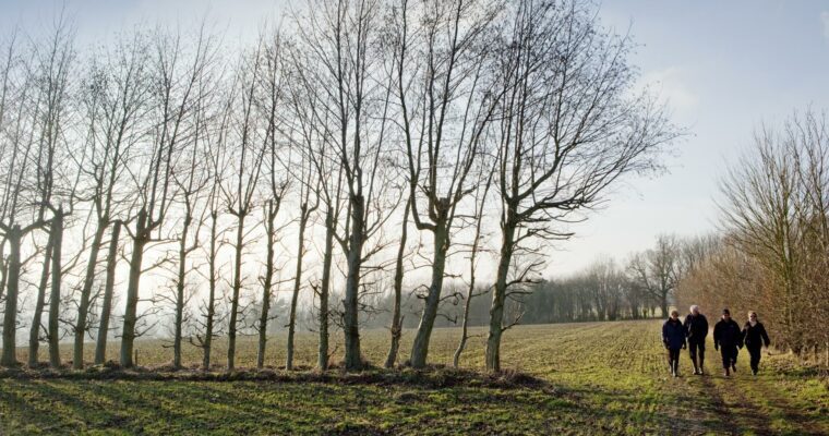
Why not take a walk in Syndale Valley? The path takes you through the Kent Downs Area of Outstanding Natural Beauty and explores the peace and solitude of quaint villages, wildlife havens and even offers a shortcut from the 11 mile long trail that is mapped out.
This walk is one of the more picturesque on offer in Faversham.
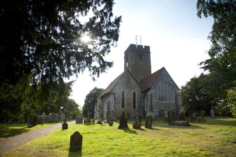
Must sees for this walk are the yew tree outside St Mary’s Church in Eastling, which has lived for more then 2,000 years and Otterden Place, the birthplace of the electric current.
For more information about Faversham visit the Faversham town website.
ite.
Map is loading...