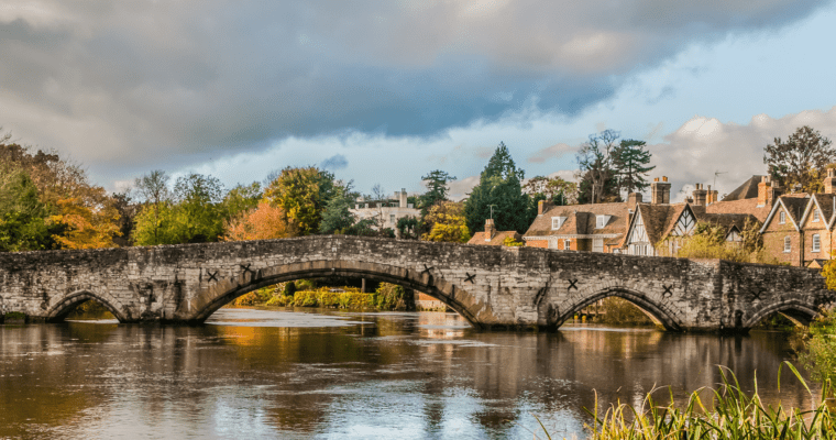
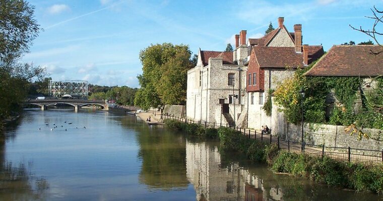
The sight of Rochester’s fairy-tale castle and cathedral on the other side of the river are the perfect way to start this historic tour. The castle has the highest keep in England 35 metres and was built by the Norman Bishop Gundolph in 1086.
The riverside section of the walk highlights the many birds that rely on the mudflats here. Lapwing, redshank, Kingfishers and cormorants are all visitors to these banks.
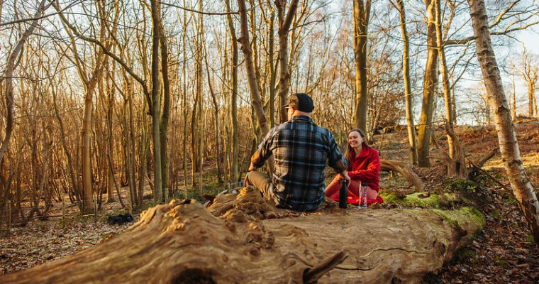
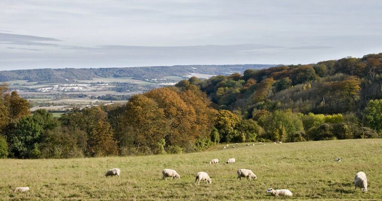
Sandy Banks, a 25 acre area of grassland, scrub and woodland at Rede Common Nature Reserve, is home to even more wildlife. Look out for willow warbler, whitethroat and blackcap, along with a range of colourful plants. From here there are spectacular views back across to historic Rochester.
Step by step guide
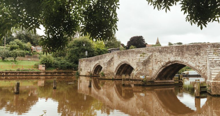
Coming out of Strood train station follow the road heading towards the river. At the end of this road cross over and turn right along Canal Road following the River Medway on your left hand side. Go under the bridge and using the traffic lights, cross over the main road by Rochester Bridge. Go down the flight of steps and continue along the riverside path.
Follow the path round to the right and then under the bridge alongside Jane's Creek.
At the end of the road turn left along Knight Road. Cross over the roundabout and continue along Knight Road to your left signposted to Temple Manor. After 300 metres you will see Temple Manor on your left hand side.
Continue past Temple Manor and after a short distance you will see a footpath on your right alongside Knights Park Industrial Estate. Follow this footpath uphill crossing over the railway bridge until you reach the main road.
Cross over the main road taking extra care as it is a busy road and turn right. Take the second road on your left (Hawthorn Road) and follow this for 500 metres until you reach a crossroads with Chestnut Road on your left and Columbine Road on your right.
Turn down Columbine Road and then take the first left onto Darnley Road. Follow this road until you get to Darnley Close which will be on your right. Head down this road and up the short flight of steps at the end. Cross over Carnation Road and head uphill into Hyacinth Road. Follow the road around to the left and shortly after passing two houses on your left, you will see a footpath taking you through woodland.
Head up the steps into Rede Common and follow the winding path uphill over a few more steps until you come out of the woodland into an open area. Turn left across the open area following the main path across the site.
Once you have crossed the open area you will get to a junction of paths. Turn left heading down the tree-lined path and go down the steps at the bottom to bring you out onto Watling Street. Cross the road at the traffic lights and turn right to walk down tree-lined Watling Street.
After about 500 metres you will see a footpath on your left opposite Elaine Avenue. Head up this path which soon becomes a tarmac road. Follow it around to the right and out onto Dean Road. Turn left along Dean Road which becomes Leybourne Road and follow it to the junction with Abbey Road. Cross Abbey Road and walk up the pathway between houses and a grassed area to join the main road.
Turn left onto Gravesend Road and cross over the road at the traffic lights. Turn right and then take the first left up Broomhill Road. Proceed up this road and take the first turning on your left into Gorse Road. Take care here as there is no pavement. At the top of Gorse Road take the second footpath to the left to take you into Broomhill Park.
Take the path to the right heading down a series of 70 steps on the edge of the park. Turn right onto the path at the bottom and then take the path to the left into a housing estate. Follow this to the end until you reach the junction with Clarendon Drive.
Turn right onto Clarendon Drive and follow it downhill taking the left hand fork onto Goddington Road after a short distance. You leave the Strood Community Trail here.
Cross over the main road and turn right and then immediately left into Grove Road. Follow this road to the end. Once you have crossed over the road at the bottom you will see an underpass taking you back to Strood train station straight ahead of you.