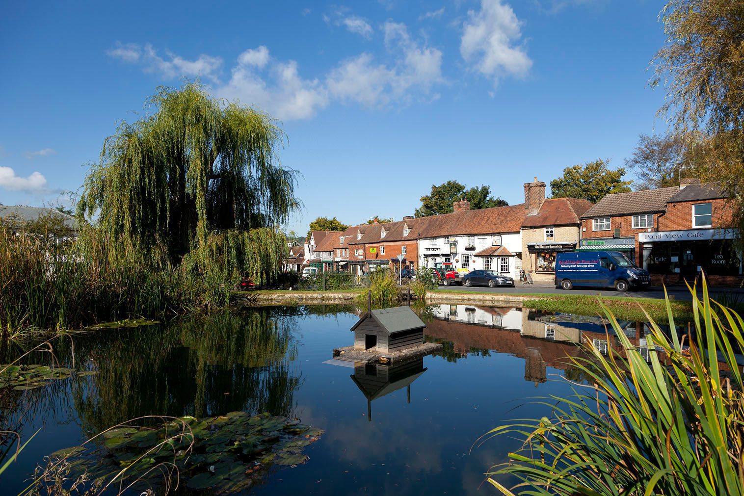
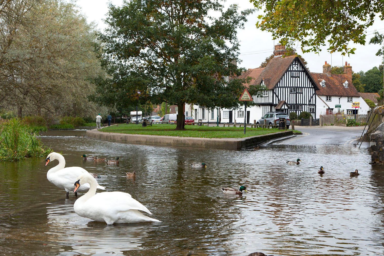
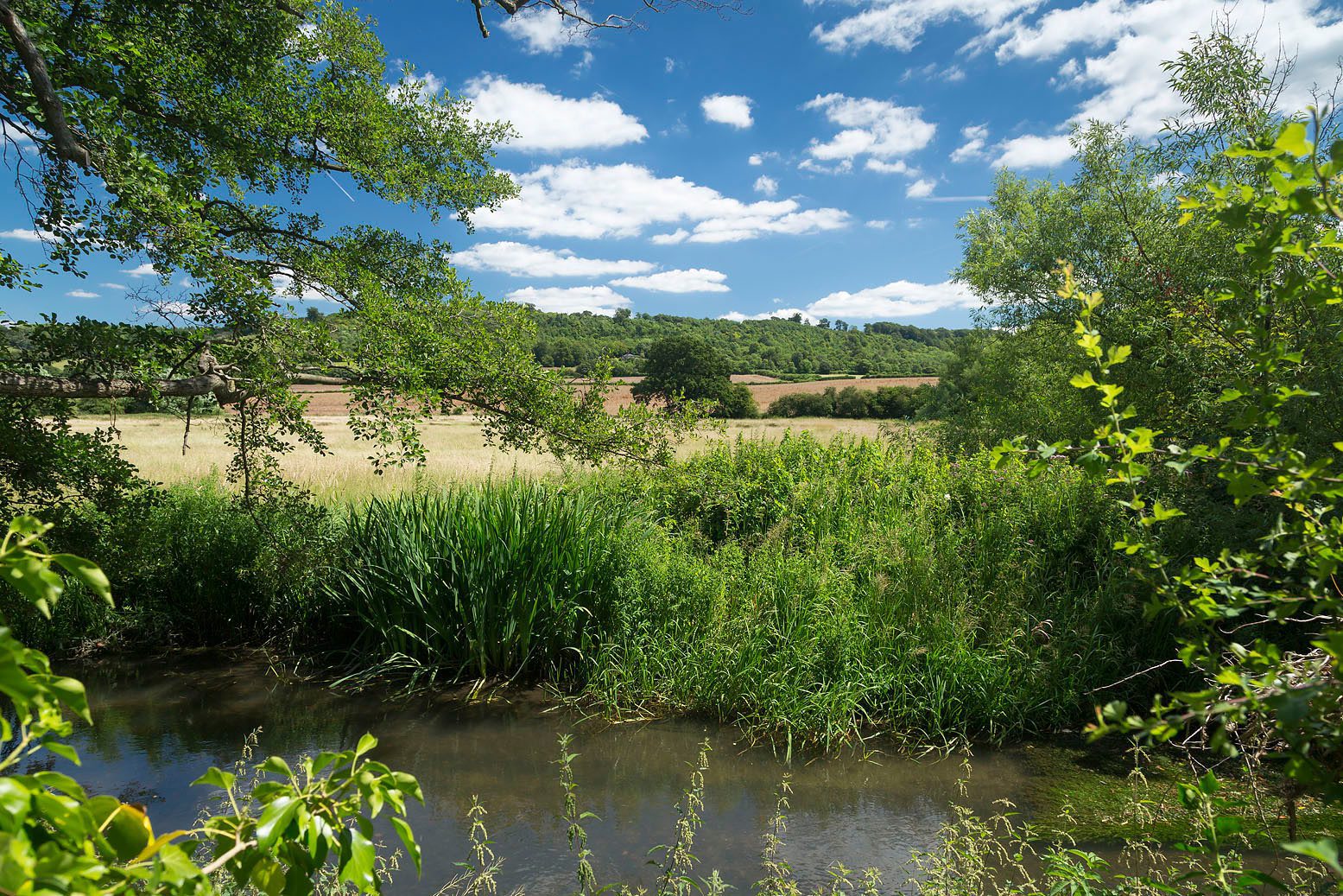
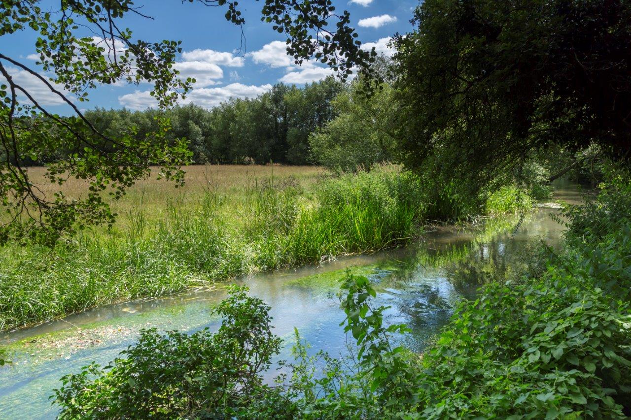
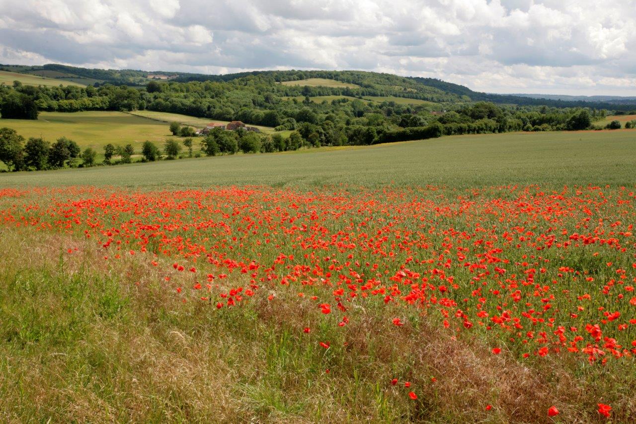
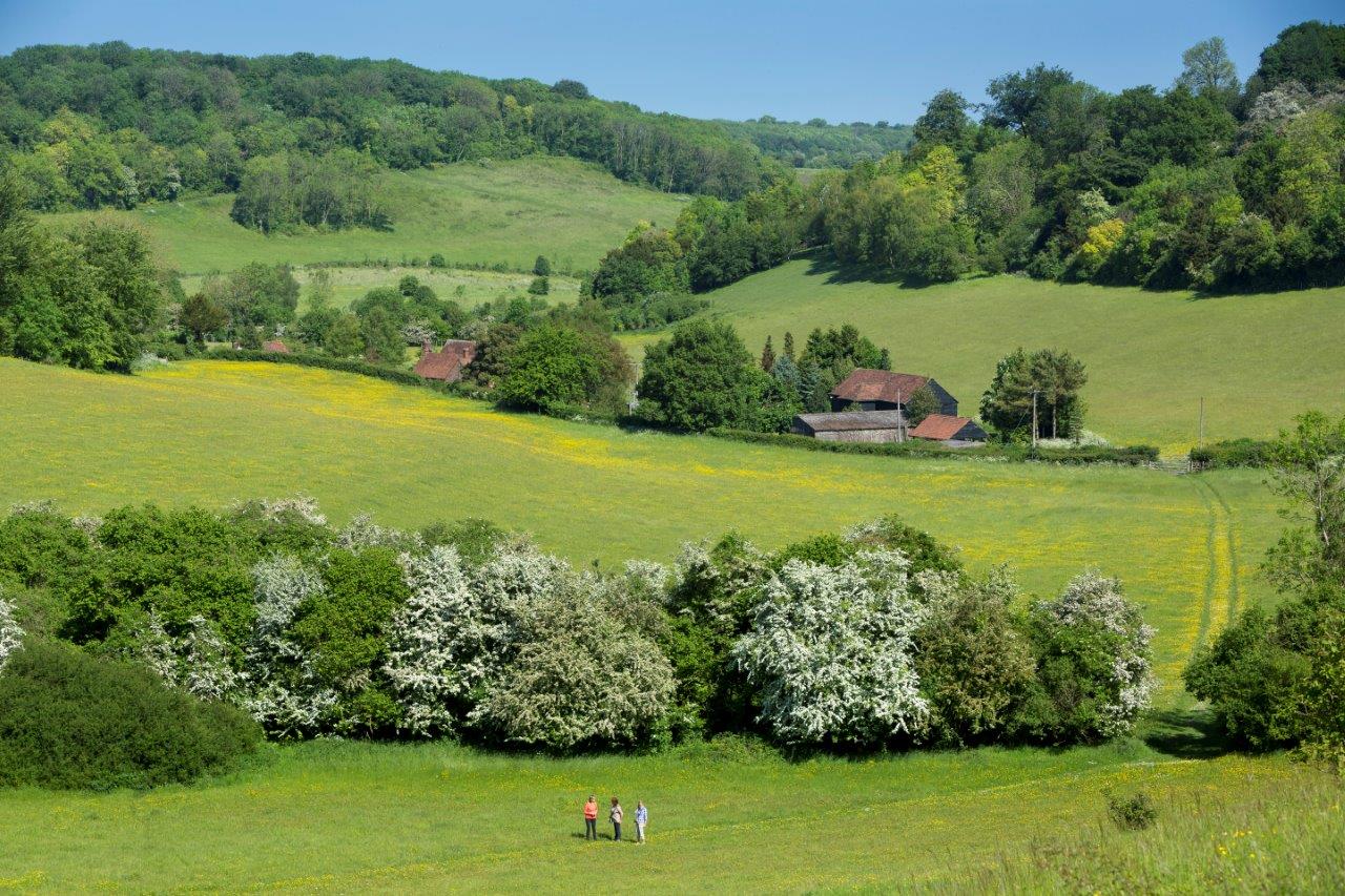
The River Darent is a Chalk stream, meaning the river starts by rising out of the Chalk rock itself, which results in extremely pure water and gives the river a unique ecology. There are only around 200 chalk streams in the world, so the Darent is an extremely unique and rare!
The River Darent
The River Darent is a Chalk stream, meaning that the river starts by rising out of the Chalk rock itself, which results in extremely pure water and gives the river a unique ecology. Species to keep an eye out for are beds of the water-crowfoot (Ranunculus) plant, and brown trout fish, both of which are iconic chalk stream species.
There are only around 200 chalk streams in the world, so the Darent is an extremely rare type of river.
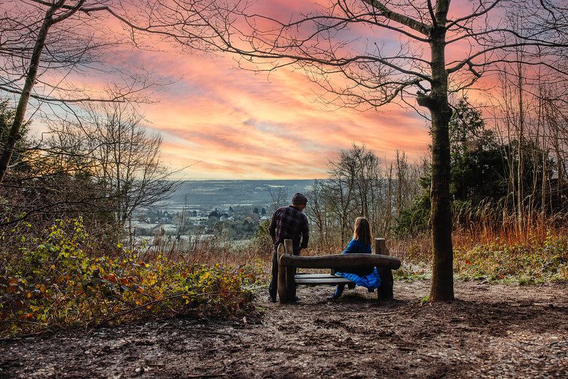
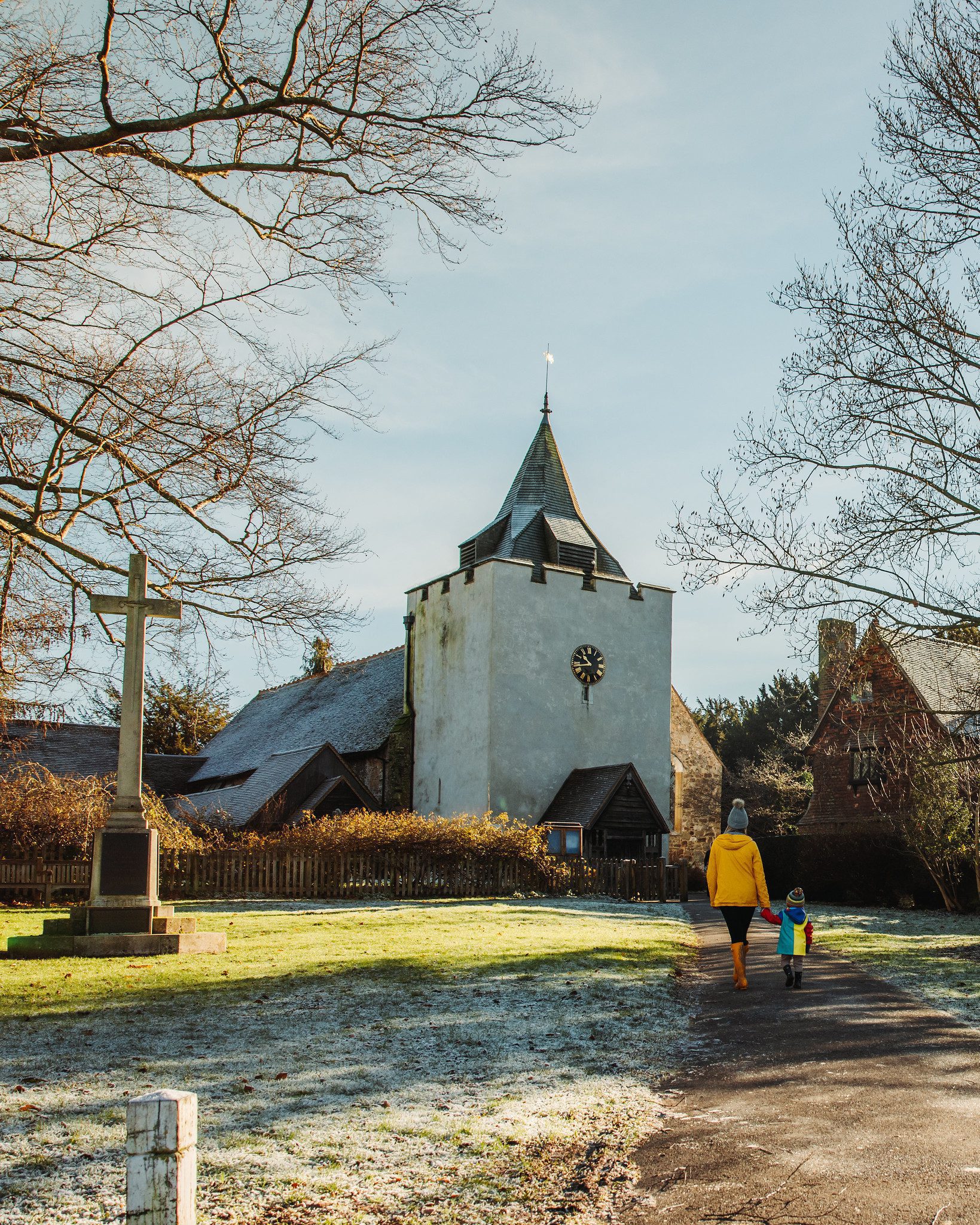
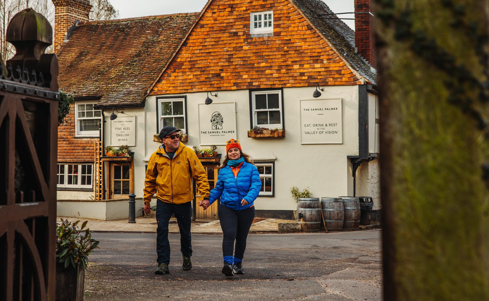
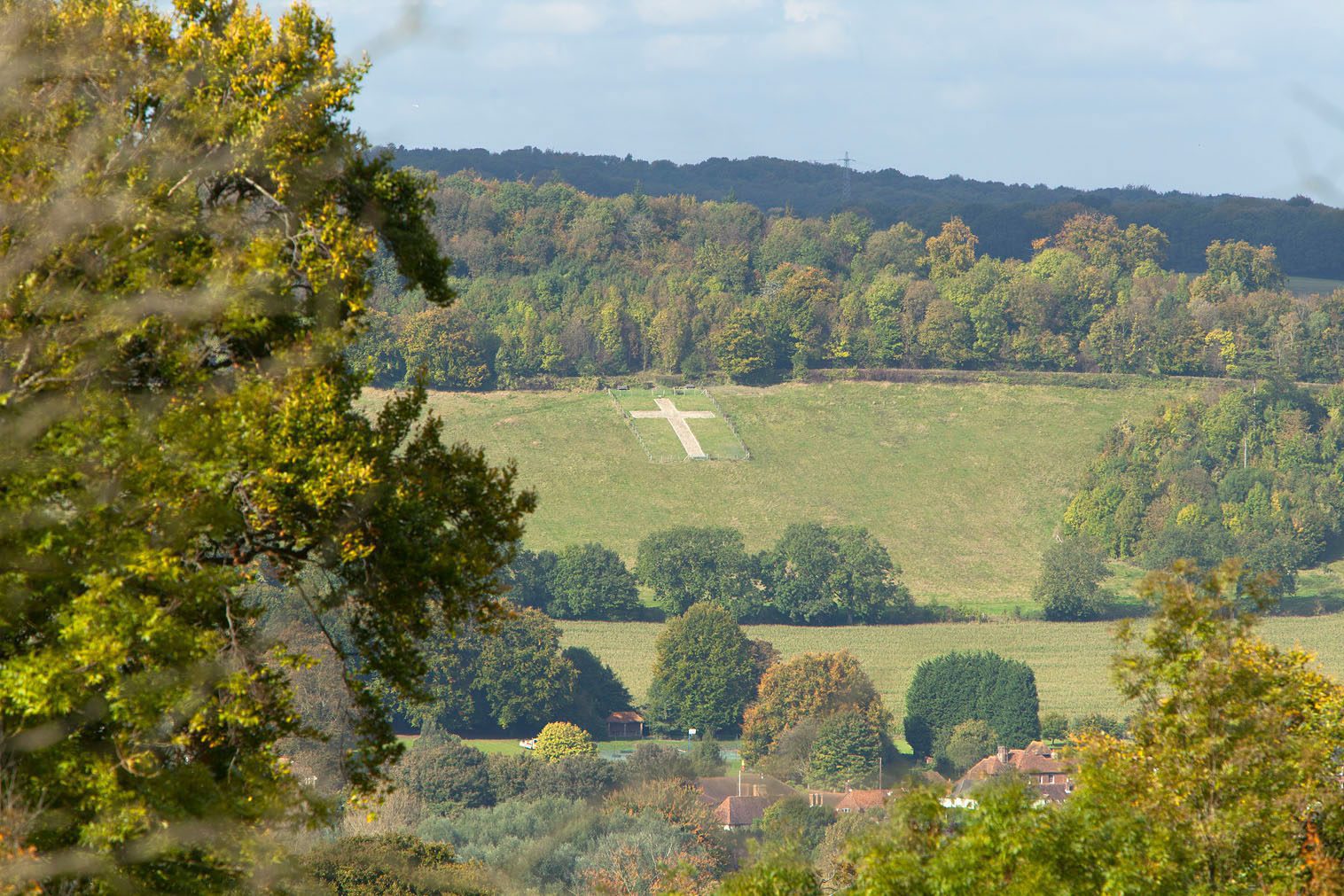
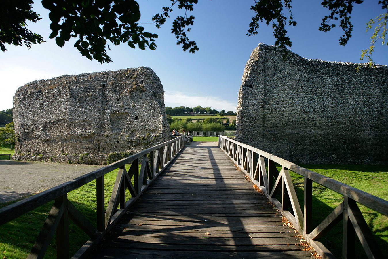
The Darent Valley has a rich heritage that has built up around the river, with historic buildings including Lullingstone Roman Villa, Eynsford Castle, and Lullingstone Castle. The Darent Valley was home to one of the most celebrated British landscape artists, Samuel Palmer, who painted much of this area during his career. There are also wonderful nature reserves on the chalk slopes of the valley, including Polhill Bank and Fackenden Down.
How to get here
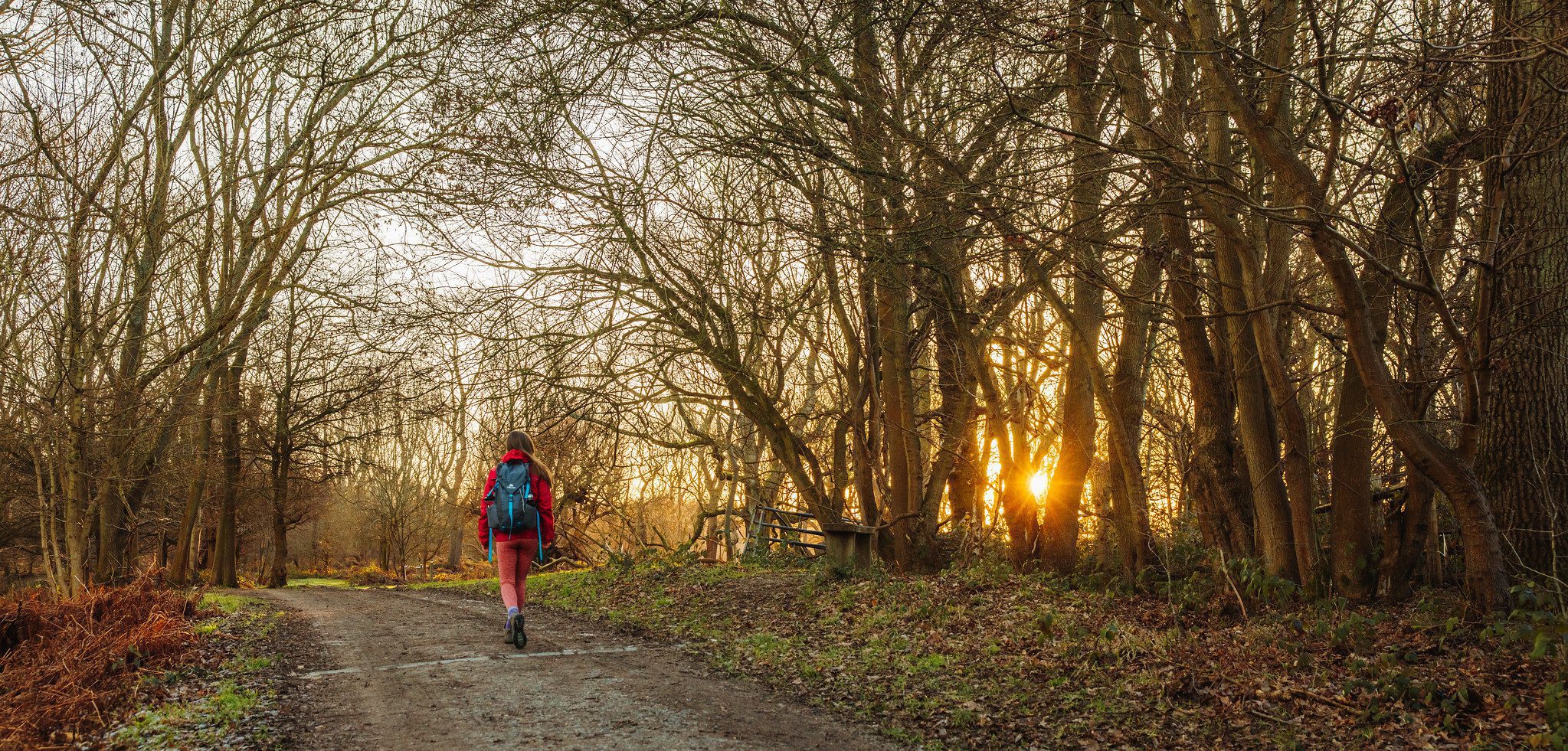
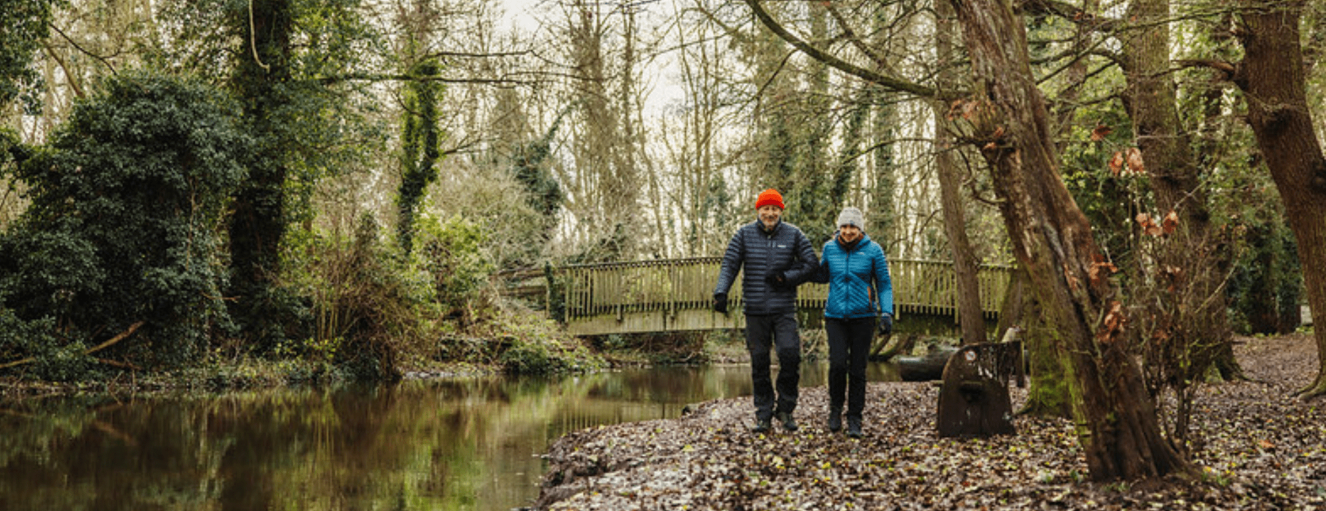
- Where to start? The best way to discover the River Darent and the incredible heritage of the Darent Valley is to catch a train from London or Sevenoaks and then follow the Darent Valley Path along the river and through Shoreham village. Or you can get a train to either Otford or Eynsford station and follow the Darent Valley Path between the two.
- Travelling by train? With around 40 stations in and bordering the National Landscape with connecting links to London and the continent, the Kent Downs and Cross-Channel Global Geopark can be readily accessed by train.
About Geosites
Geosites are sites of geological interest across the aspiring UNESCO Cross-Channel Global Geopark, where people can visit and interact with our geological heritage. This wide range of sites will offer varying opportunities and values including cultural, heritage, scientific, educational, and aesthetic.

About the aspiring UNESCO Cross-Channel Global Geopark
Hundreds of thousands of years ago a catastrophic flood swept away the chalk ridge connecting Dover and Calais, carving out the white cliffs of Dover and starting Britain’s history as an island.
Did you know the Kent and French coasts are actually still connected today by the layer of chalk which runs below the Channel?
In celebration of the chalk and the channel, we are working to secure UNESCO Cross-Channel Global Geopark status for the Kent Downs National Landscape together with our neighbouring protected landscape in France; the Parc Naturel Regional des Caps et Marais d’Opale.
The Geopark will include both the protected landscapes and the Channel connecting them, recognising and celebrating the geological connection between us.

