Darent Valley Rail Trails – Ridges and Valleys
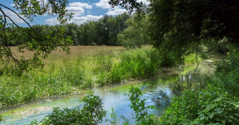
A 5 mile circular walk around stunning countryside to the east of Shoreham, through a network of dry valleys and woodland with panoramic vistas across the landscape from the valley tops.
Whether you have an hour or a whole day, the Darent Valley Trails app, downloadable free from the App Store and Google Play, will take you on a magical tour through a rich heritage of history, meadows, valleys and streams, lavender fields, mills, and wildlife, along waymarked paths, with a distance to suit everybody.
There are 17 new new Rail Trails in West Kent, with the choice of both circular and linear routes ranging from 2.5 to 9 miles. All the routes start and end at mainline train stations, so you can go green and leave the car at home. Once you’ve downloaded the app, the trails can be used offline as you explore the remote and tranquil countryside.
Ridges and Valleys
- Explore hidden dry valleys that cut deep into the Downs and enjoy fine views of rolling countryside
- Pass through an abandoned golf course reverting back to nature
- A chance to visit a monument to the aviation pioneer, Percy Pilcher
- Pass through a former military firing range