Margate to Whitstable Cycle: Beaches and Bays

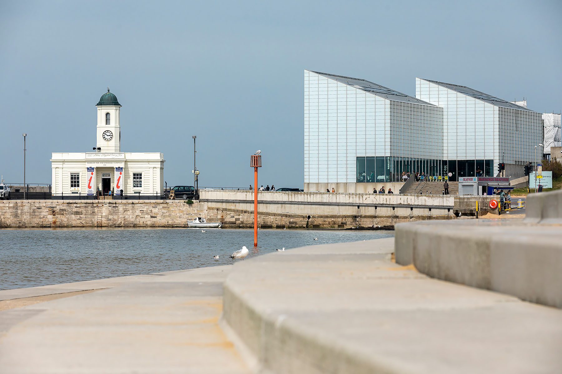


Margate, home to Dreamland theme park and the characterful Old Town which must not be missed. For those of you who are art lovers there is the Turner Contemporary art gallery. There is plenty to explore before even taking to your saddle!
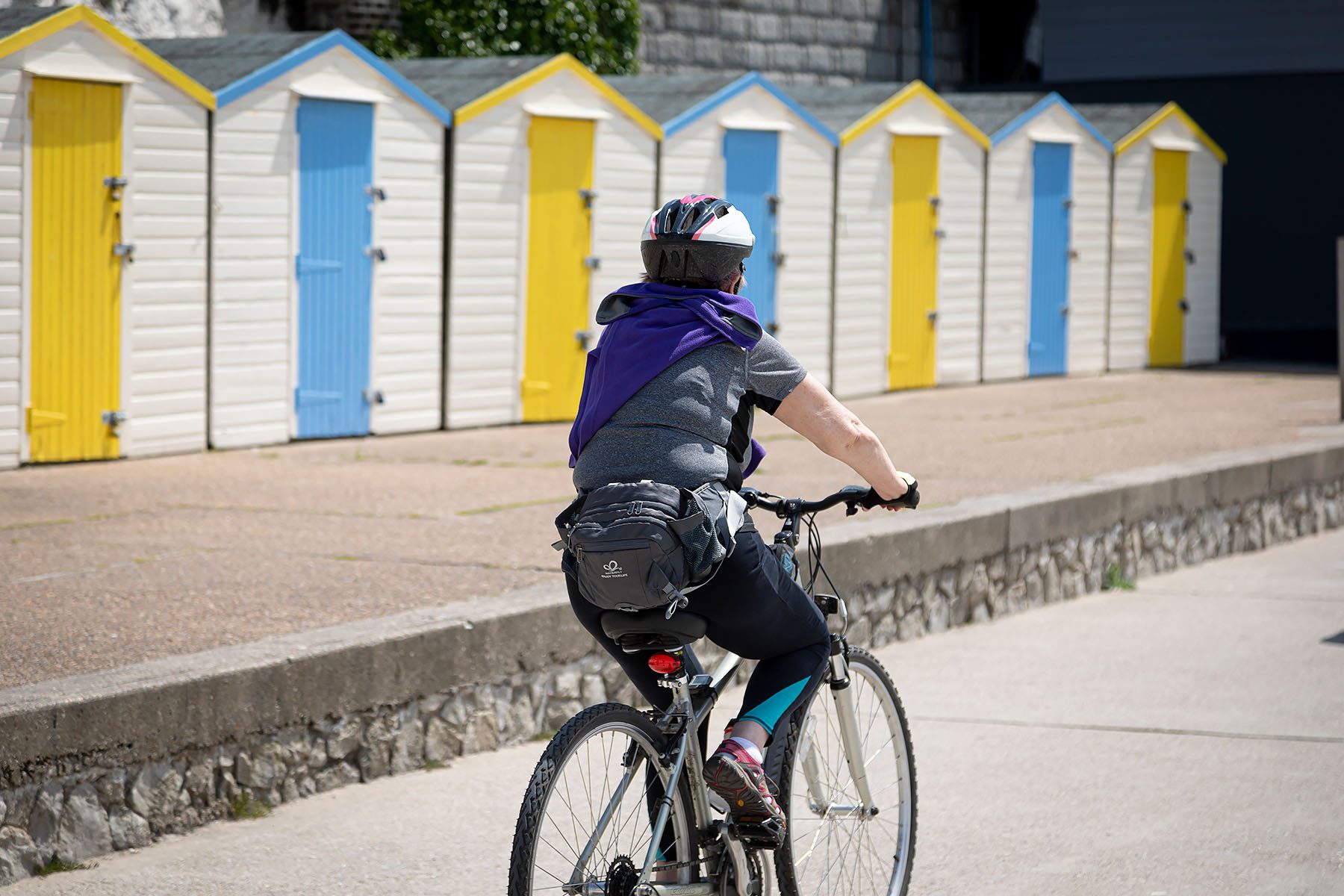
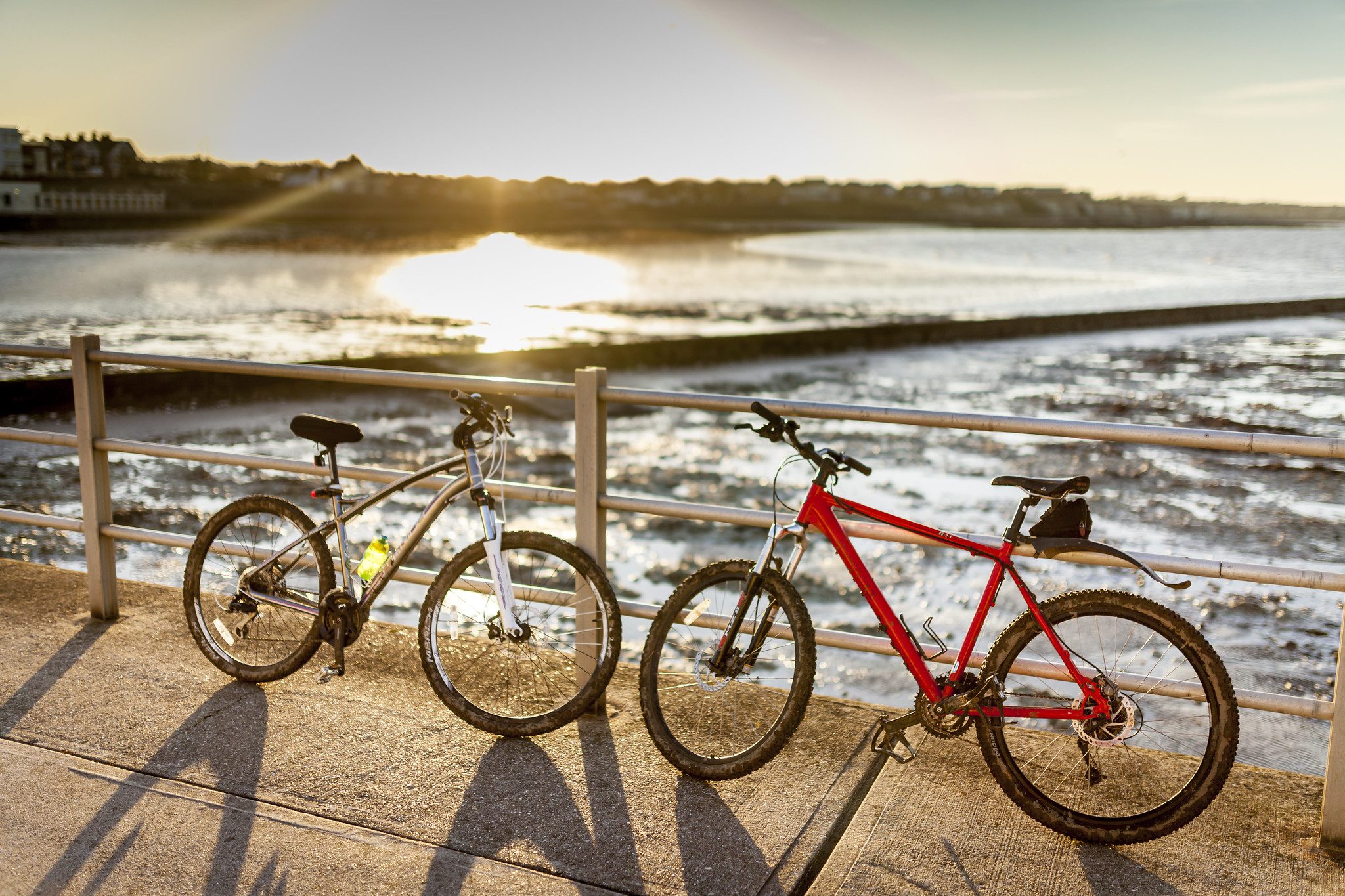
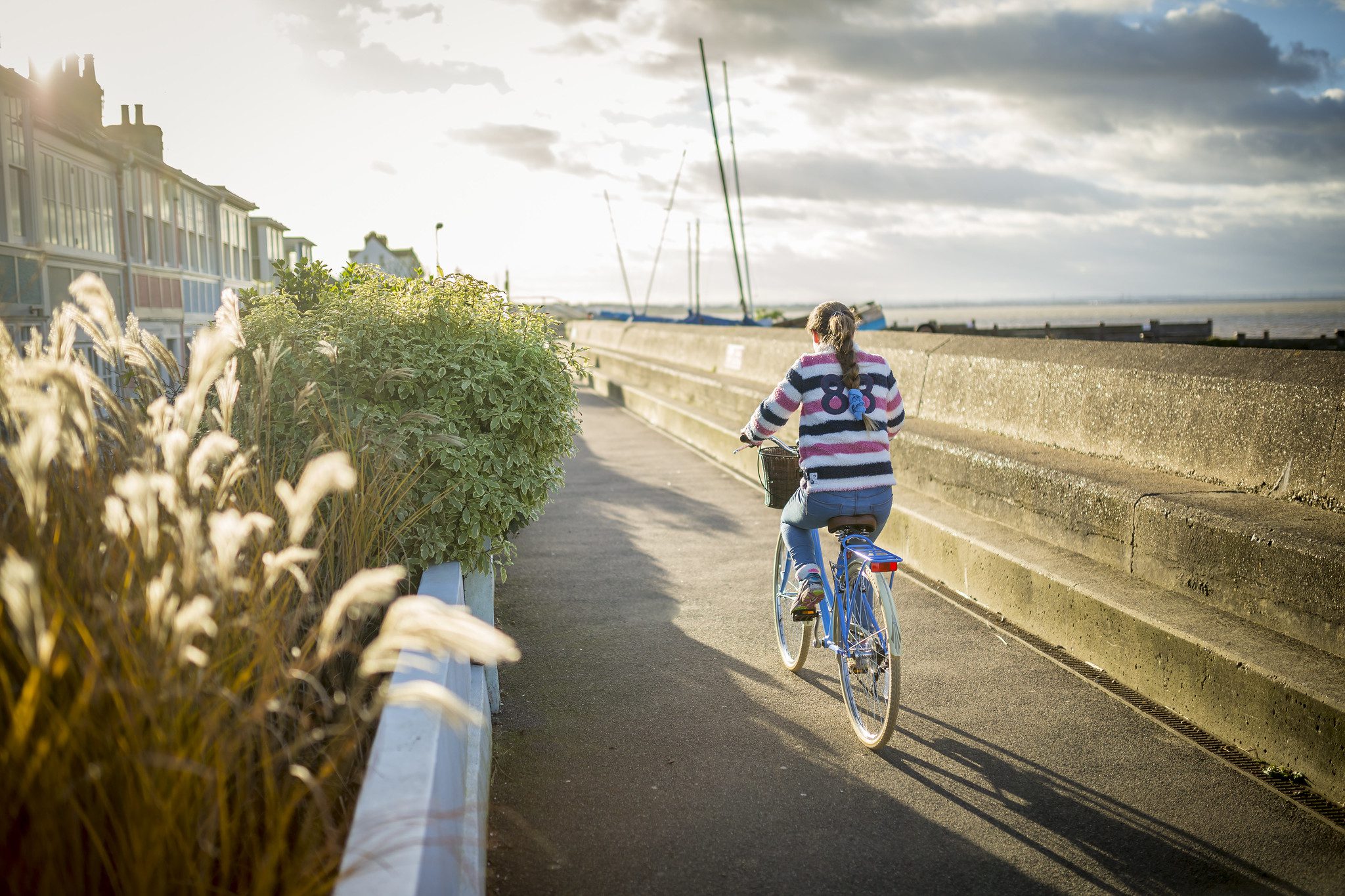
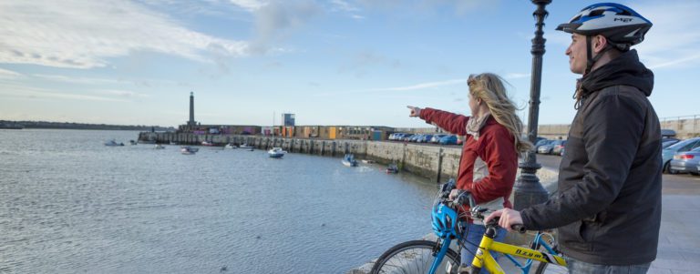
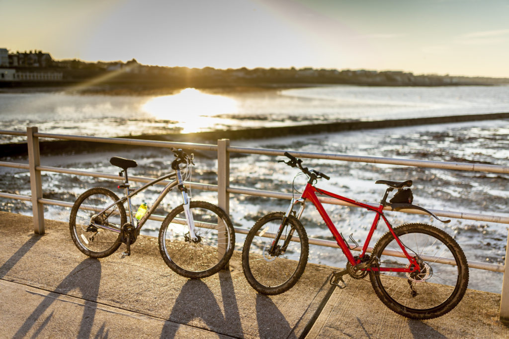
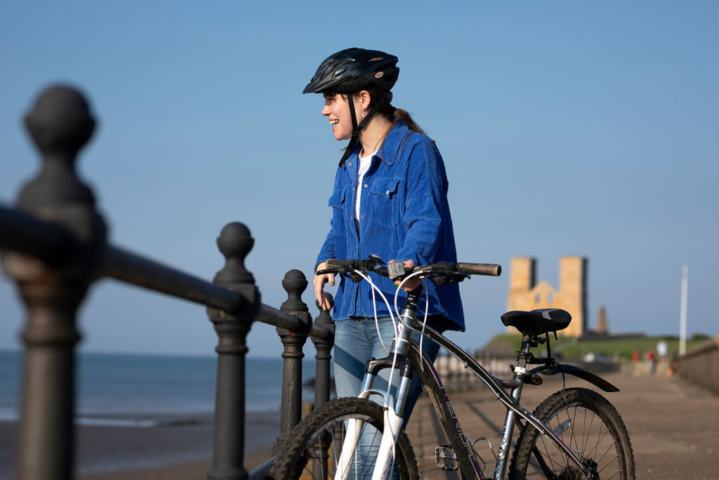
Set off from the bustling Margate Main Sands and take a leisurely cycle ride along the picturesque Thanet coast, taking in some of the Viking Coastal Path along the way. A flat and comfortable coastal route for any level of rider.
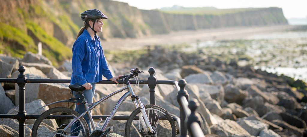
Visit the quiet St Mildred’s Bay a perfect seaside oasis. Look out at crystal clear sea views before pedalling into Westgate-on-Sea. A charming Victorian town and an idyllic spot to stop for a freshement on route. As you continue towards Whitstable, cycle on top of the cliff tops and into Minnis Bay – a Blue Flag awarded beach.
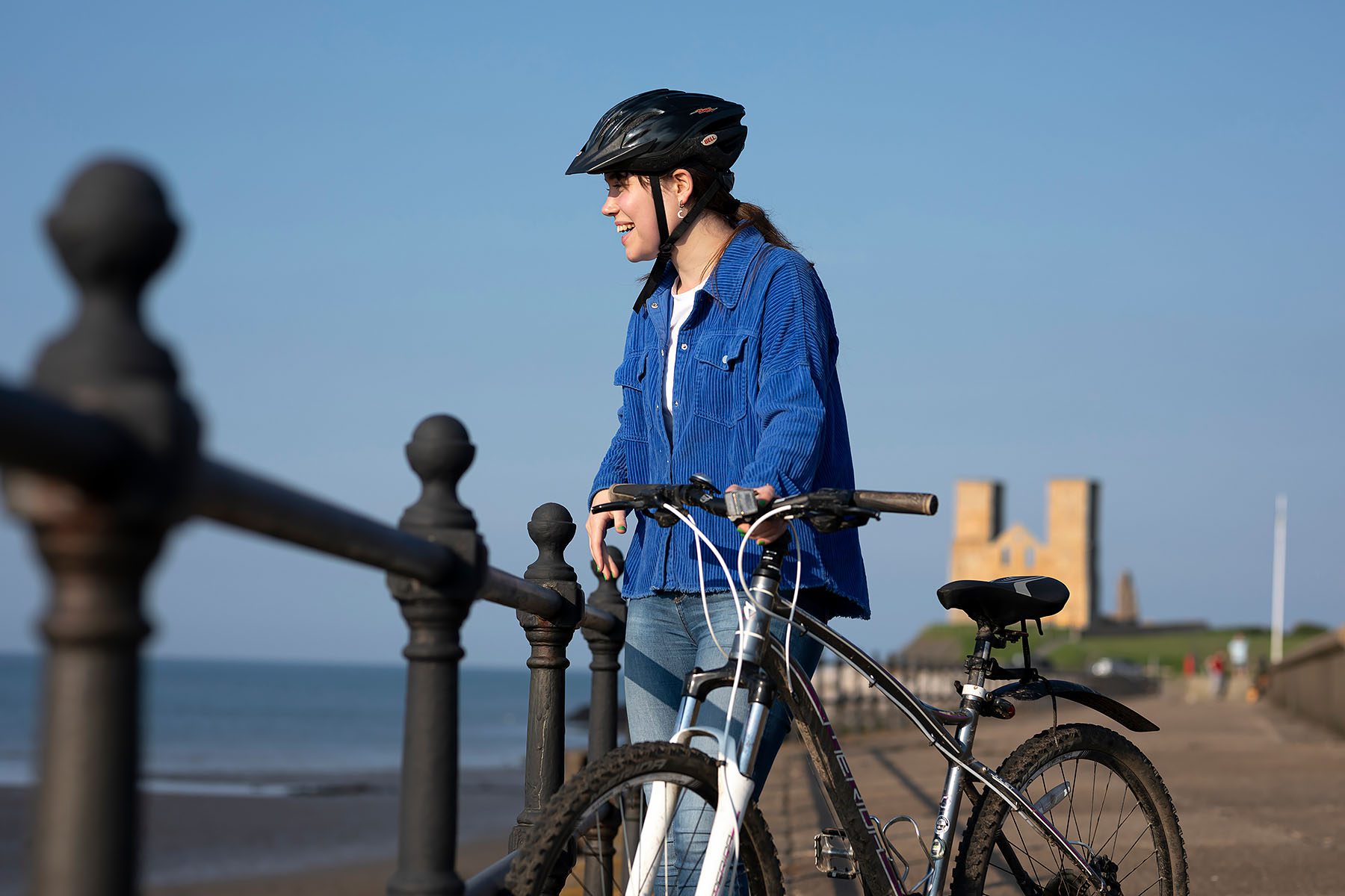
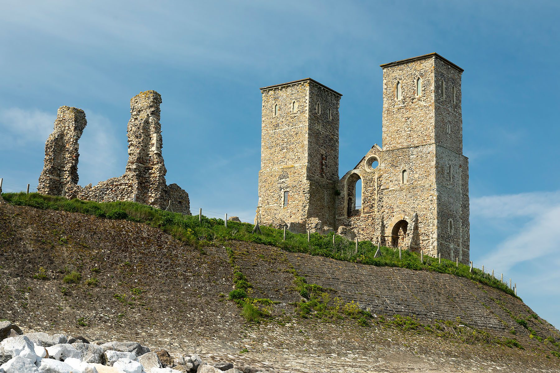
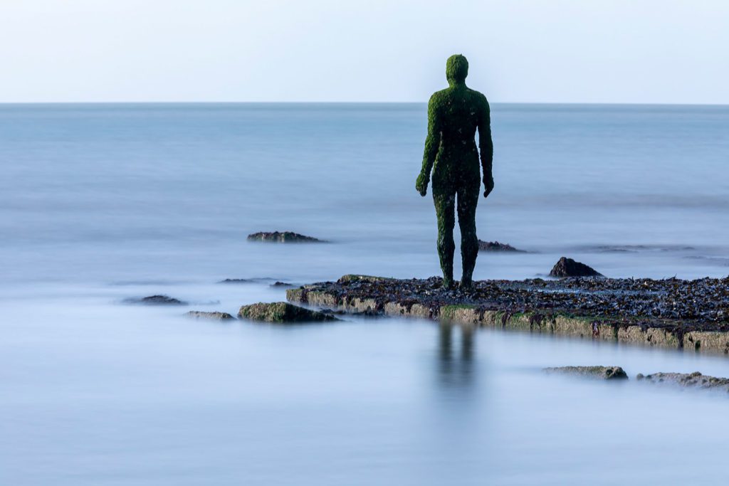
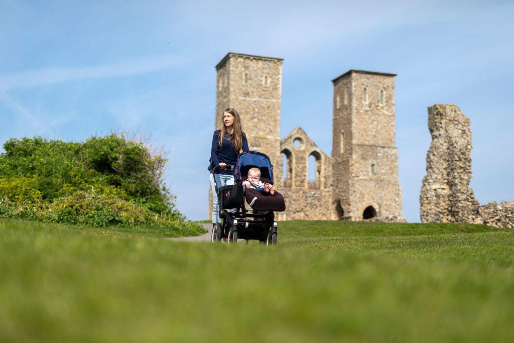
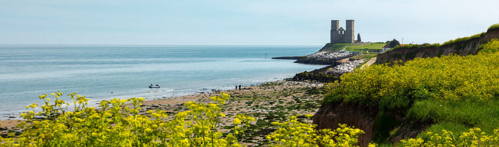
The next stretch takes you towards Reculver. This section is very popular with cyclists of all ages and abilities. Pass through the unusually named Plum Pudding Island. The Reculver Towers are remains of a ruined medieval church, affectionately nicknamed as the ‘Twin Sisters’.
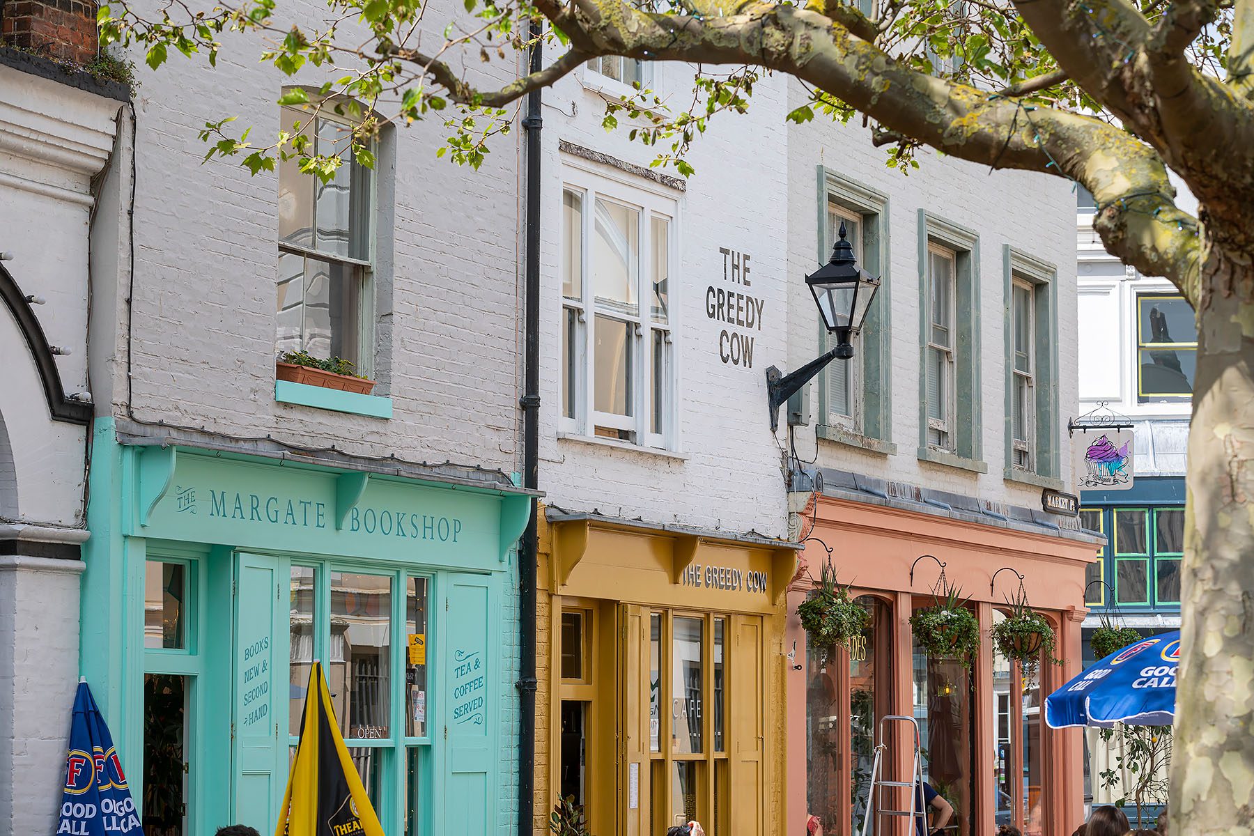
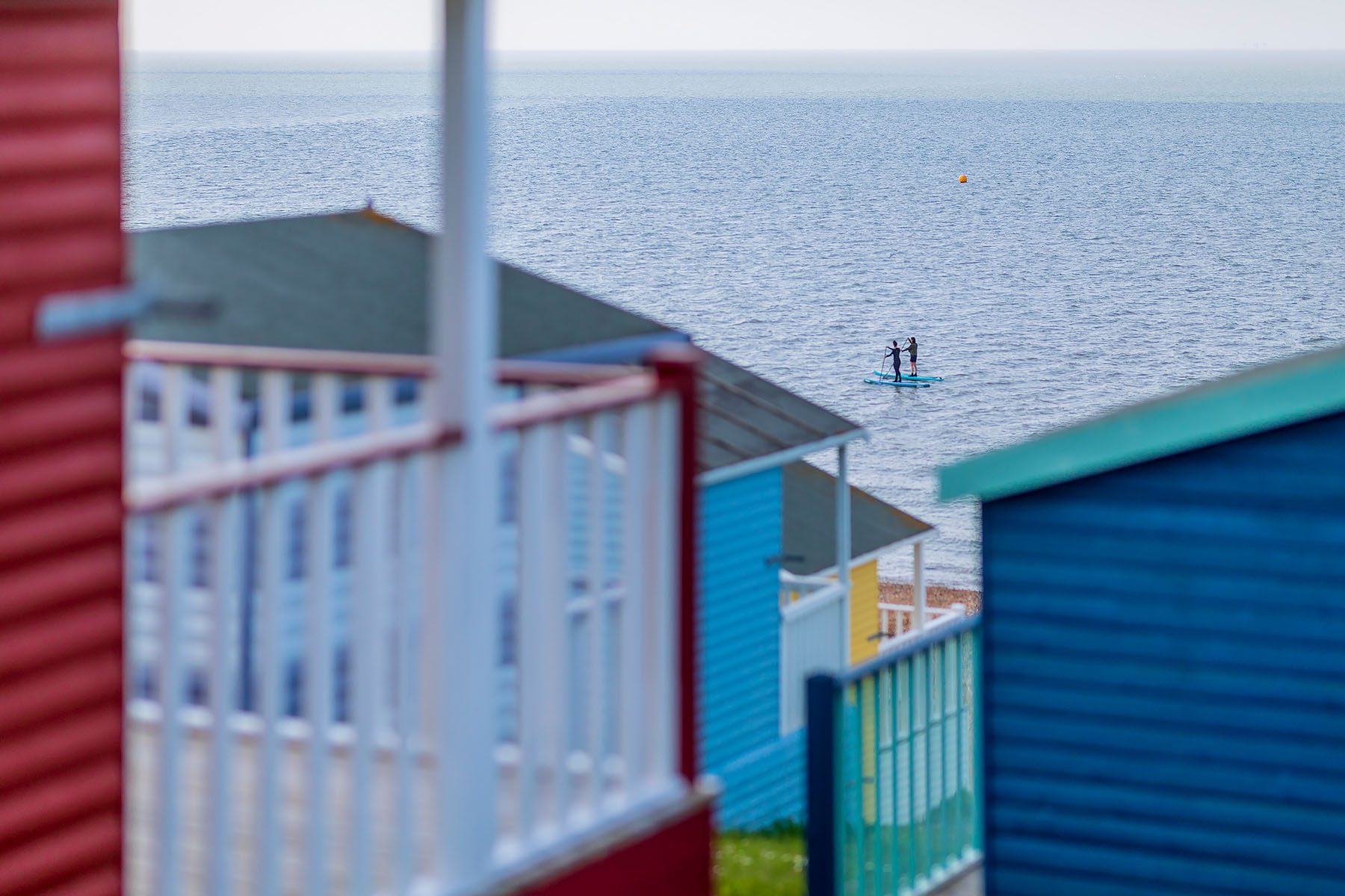
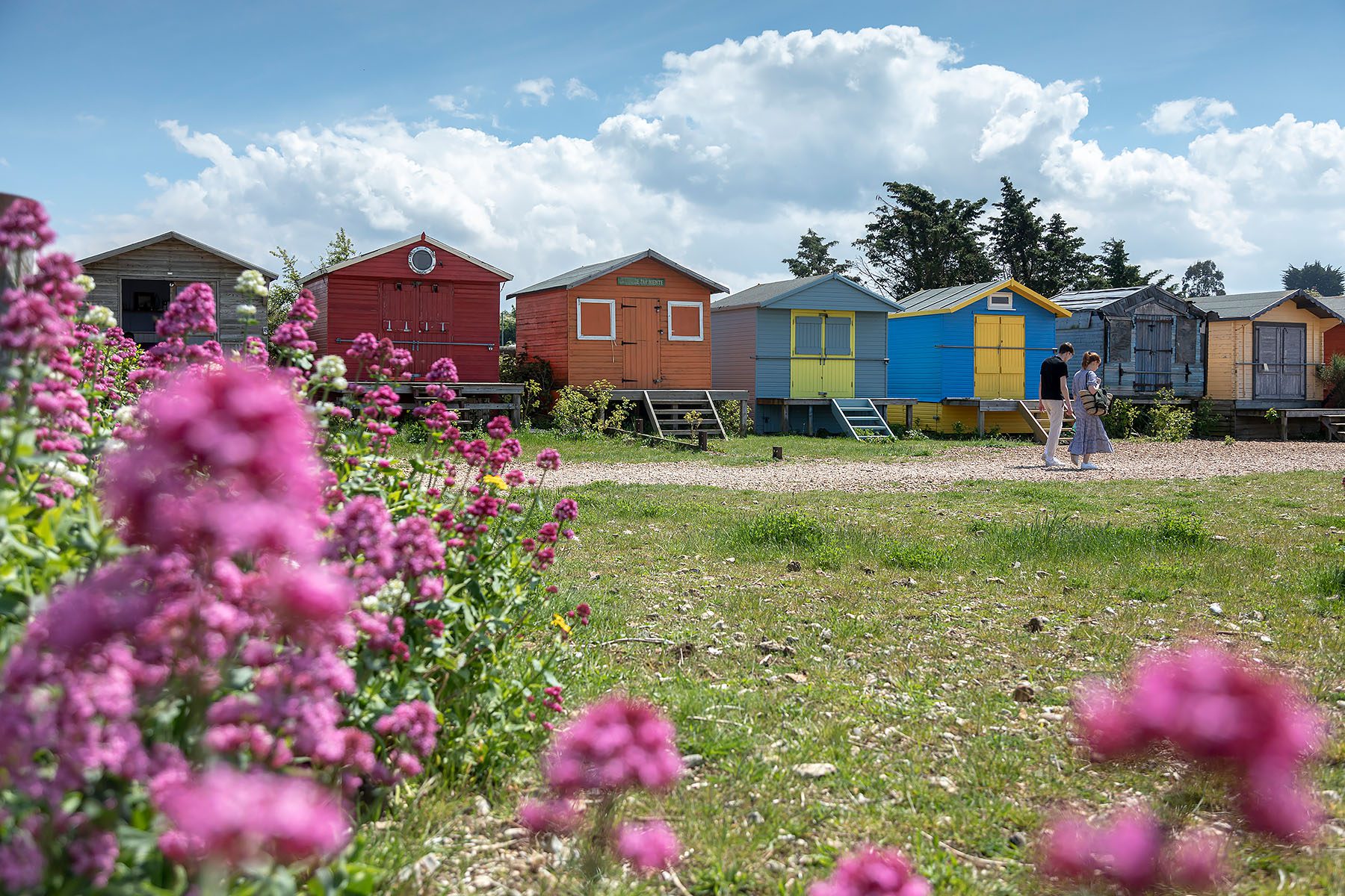
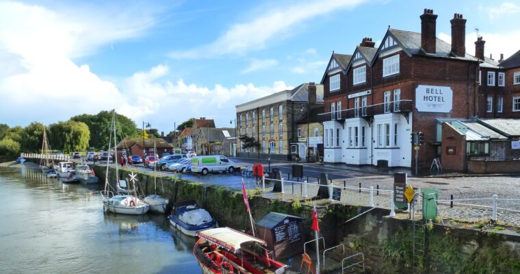
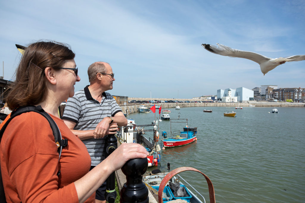
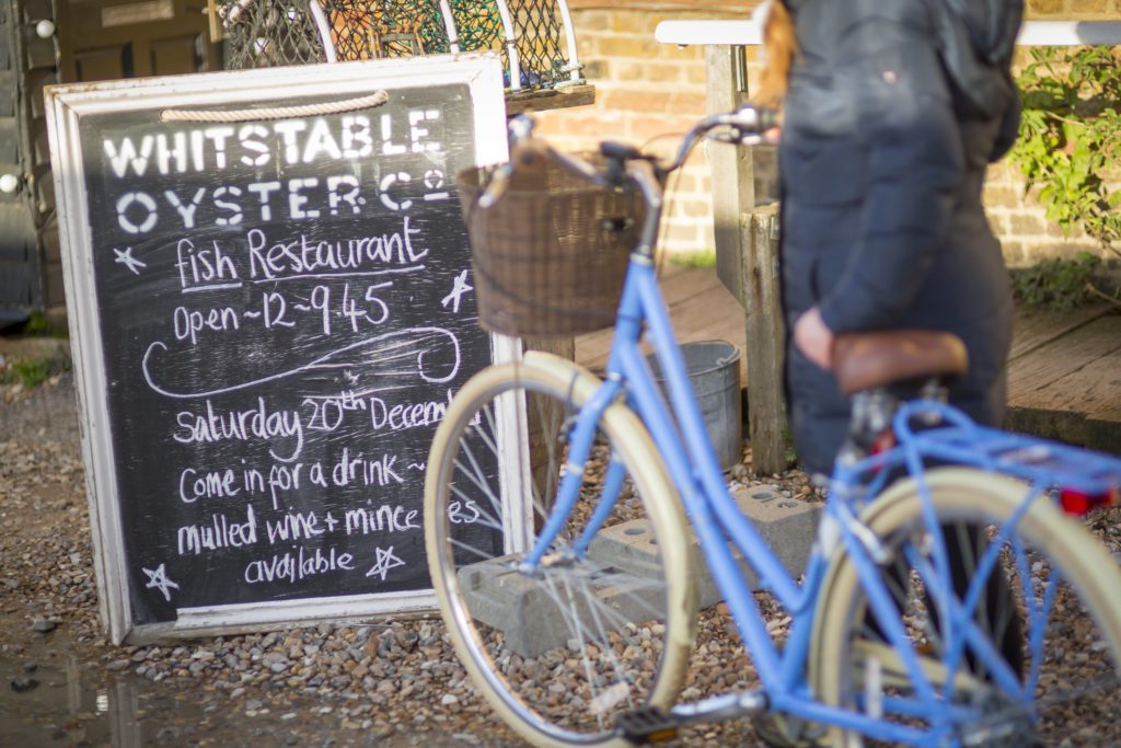
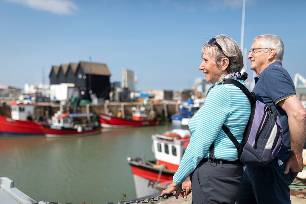
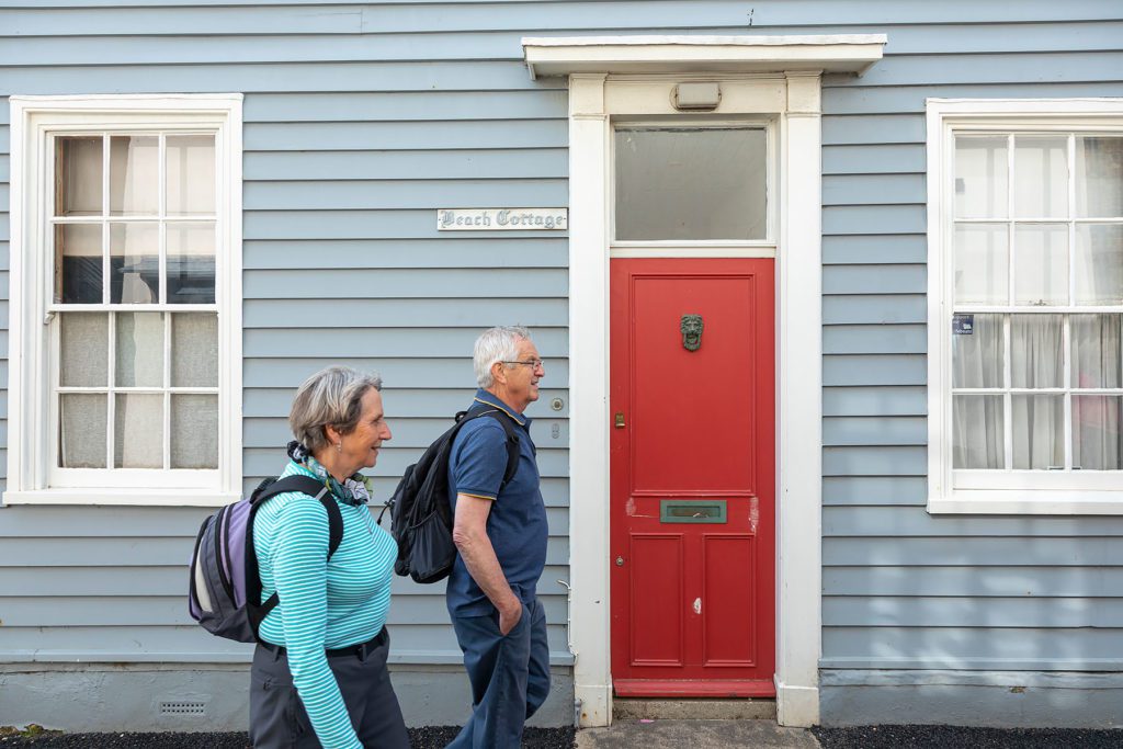
Continue onto Herne Bay and finally set your eyes upon you end destination! Whitstable, a pretty and quaint fishing town, full of character around every corner. Wander the little streets, the beautiful seafront or fishing harbour. Try some oysters, eat some ice cream or sip a cool beverage whilst gazing out at the horizon.
If you are feeling adventurous, why not take on The Crab and Winkle way cycle route to Canterbury.
Whitstable Maritime Coastal Trail
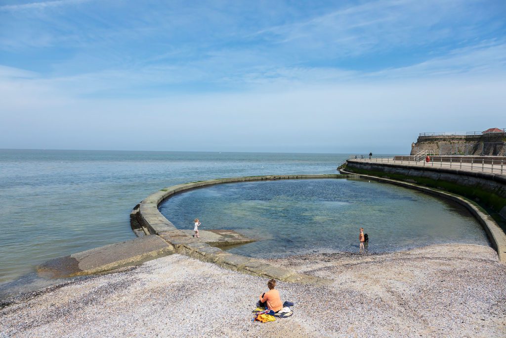
Whitstable Maritime have a fantastic walking route. The Whitstable Coastal Trail aims to highlight the diversity of the coastal environment from Long Rock, Swalecliffe in the east, to the WW2 Tank Traps in the west – a distance of about 5km (3 miles). The trail is designed to highlight key features that can be seen, and some which cannot, at a number of points along the coast. We have relied on knowledge from local enthusiasts and experts in geology, flora and fauna, history and archaeology. If you fancy more information please head over to the Whitstable Maritime website for a map and guide.