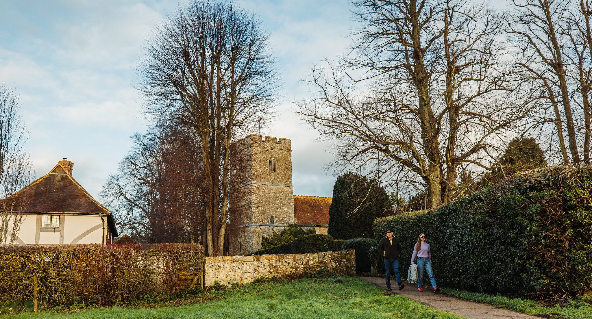
Hollingbourne west Lost Landscapes walk


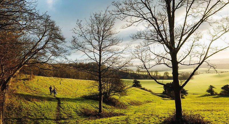
This charming 6 mile walk takes you west of the village, past the ancient manor of Ripple and back along the famous Pilgrim’s Way.
Lost watermills, the ghost of Catherine Howard and the mystery of a manor that disappeared. These are just some of the highlights on the Lost Landscapes Heritage Trails from Hollingbourne – two circular walks from the North Downs Way National Trail.
The Hollingbourne Heritage Trails have been carefully designed to take in the best heritage features of the area. As you walk you will find that the history has been brought to life by the contributions of local people.
More information about the walk and a map and guide are available in the Lost Landscapes Heritage Trails Hollingbourne leaflet, which you can download to the right of this page.
This walk has been created by the North Downs Way National Trail and uses a section of the North Downs Way.
