Isle of Harty Circular Walk
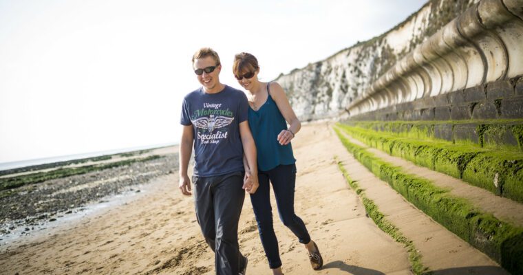
The Isle of Harty Circular Walk is a tranquil 9-mile (15 km) coastal route on the Isle of Sheppey in Kent, beginning near Leysdown Coastal Country Park. The walk starts along the promenade and shingle shore, offering expansive views across The Swale and opportunities to spot wading birds. The route passes through the quiet hamlet of Shellness, once known for smuggling, and enters the RSPB Harty Marshes nature reserve. Here, you can enjoy a bird hide with panoramic views of three waterways, making it a prime location for observing birds of prey, swans, ducks, and geese.
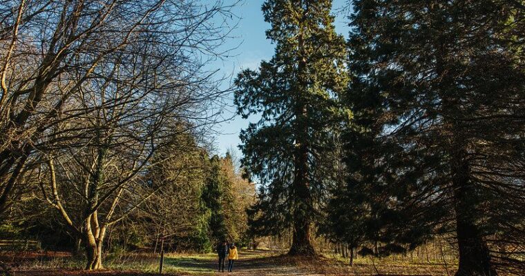
Continuing through the marshes and pastures, the trail leads to the remote Church of St. Thomas the Apostle, Kent’s most secluded church. This historic site offers scenic views of the Swale Estuary and features stained glass windows and local honey for sale. The route then passes the ruins of Sayes Court and reaches the Ferry Inn, a charming pub that now hosts weddings and features a sculpture of boxing hares. From there, the path winds past Mockett’s Farm and a small solar farm, eventually looping back toward the church and Elliott’s Farm.
The final stretch of the walk follows the Isle of Harty Trail, lined with wildflowers and farmland, and passes through several gates before reaching Muswell Manor. This site honors the Short Brothers, pioneers of aviation on Sheppey, with a commemorative statue. The walk concludes at Neptune’s Café, where refreshments are available. The route is not suitable for bikes or wheelchairs and takes approximately 4.5 to 5 hours to complete, offering a peaceful and scenic experience rich in wildlife, history, and rural charm.

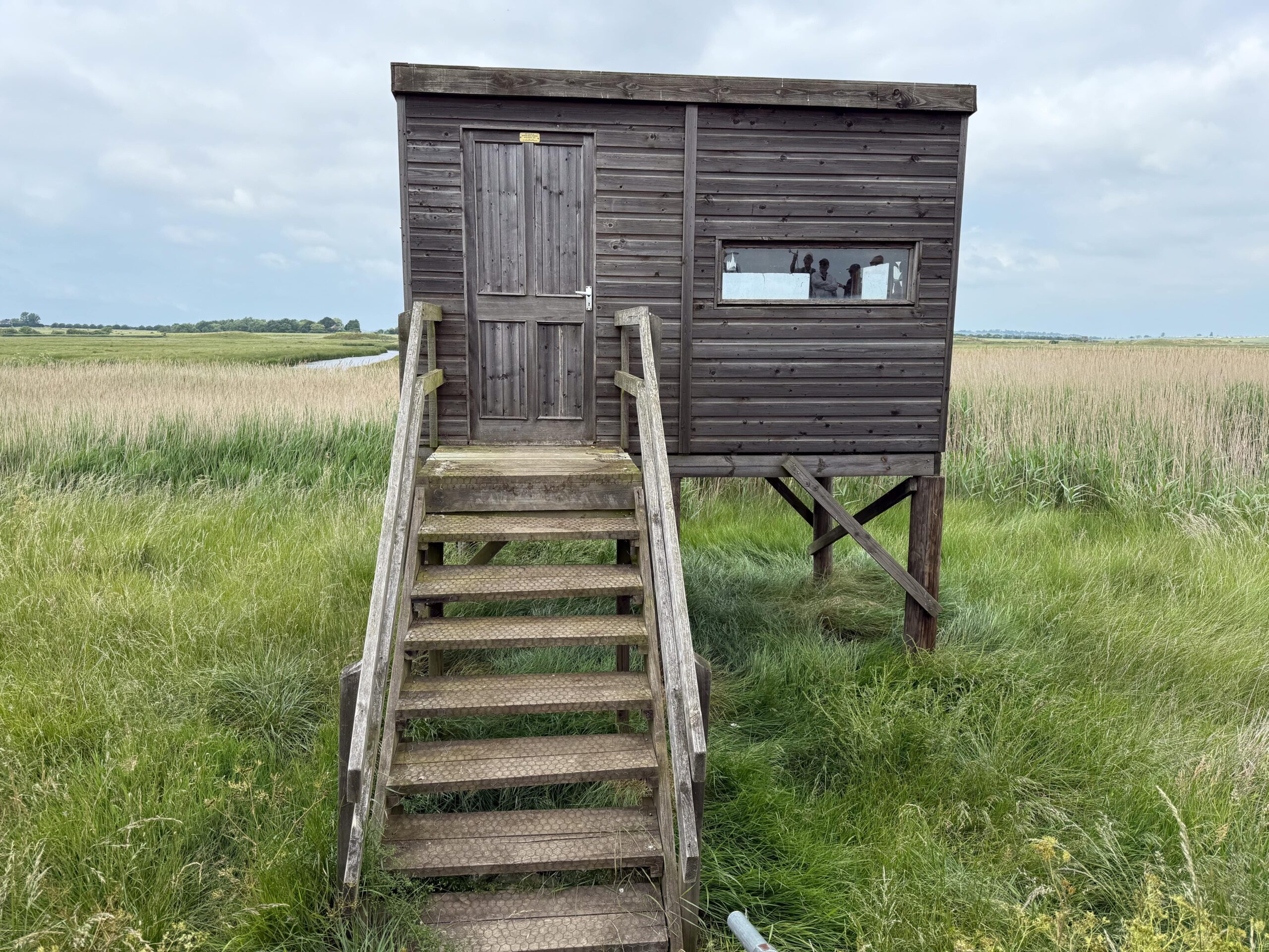
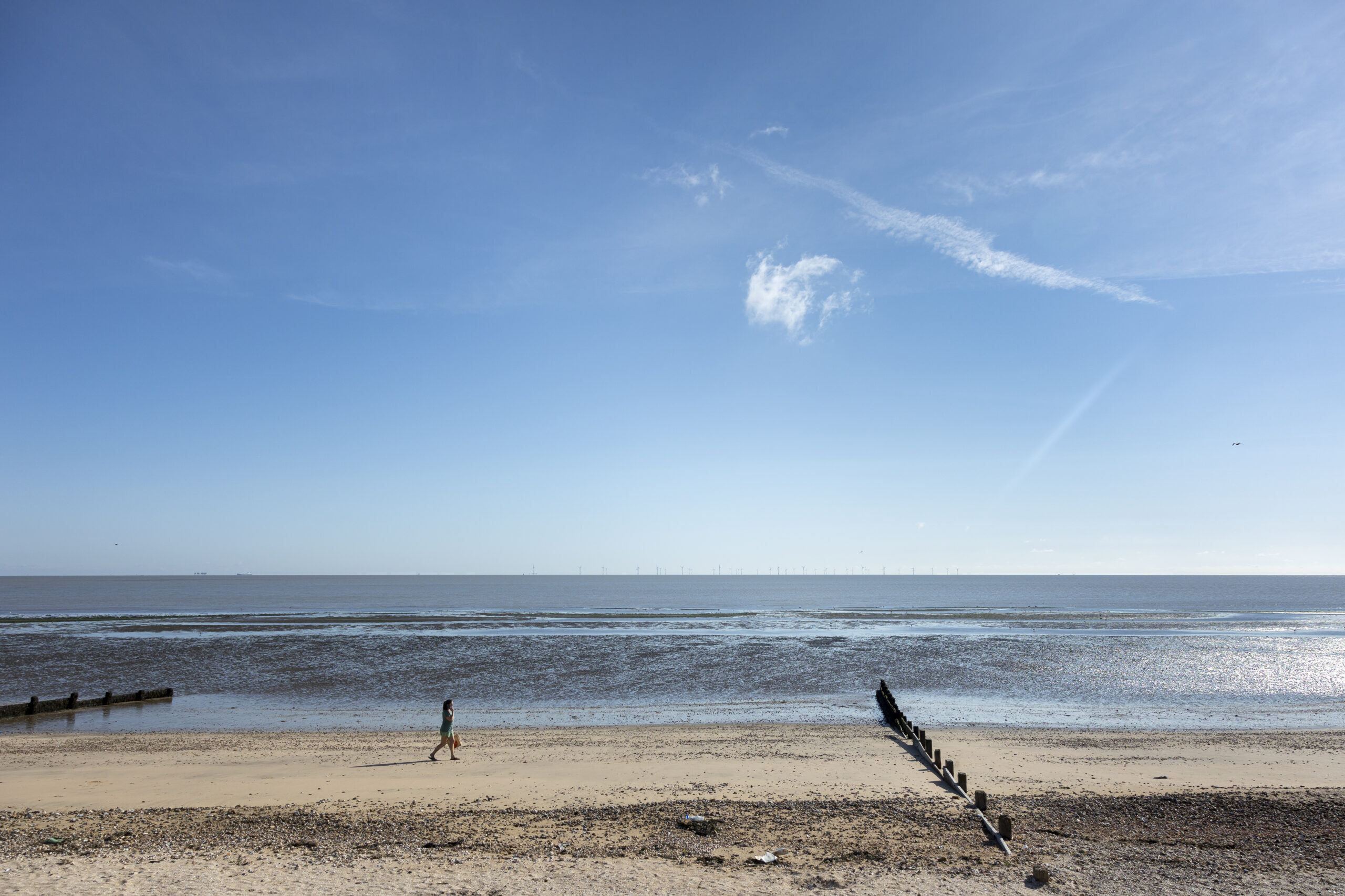

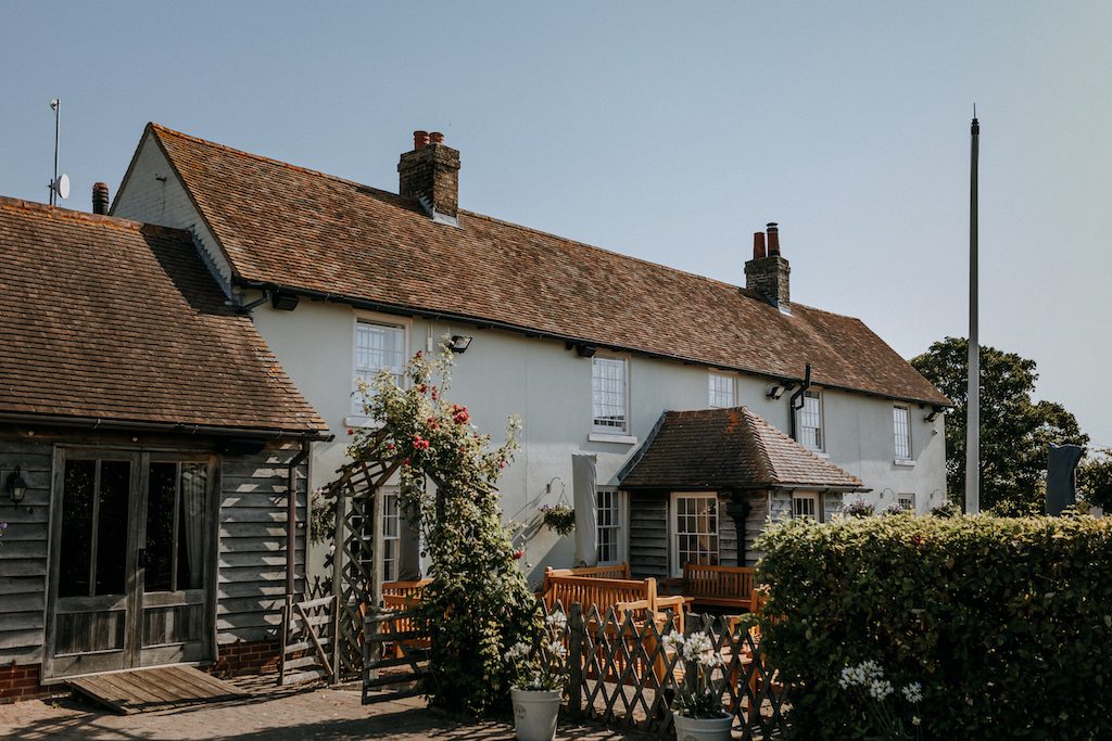
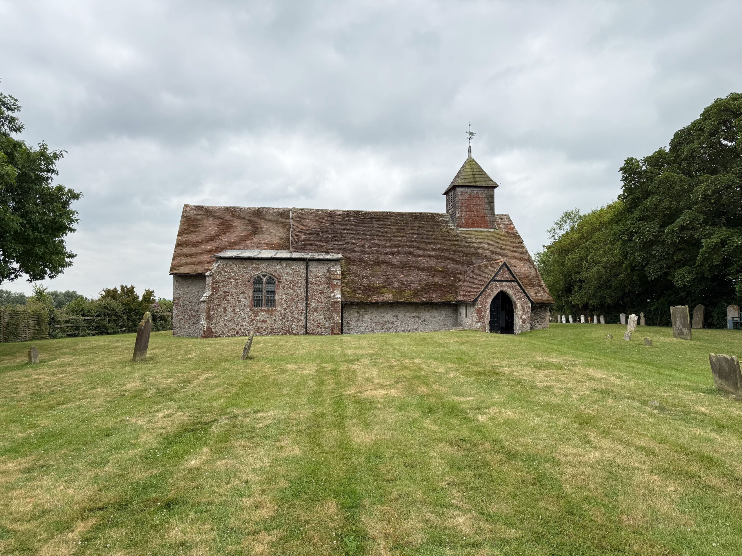
Photo credits: John Miller Photography, Louise Hubbard and The Ferry House Inn
Step by step guide
1. Walk southeast through Gate 1 via a recreation area. At the end of the path, carefully cross the road and go up the steps onto the coastal promenade, passing the Neptune’s Café car park on your right. Continue southeast along the promenade and shingle footpaths along Shellbeach to the hamlet of Shellness. This area is ideal for spotting wading birds and enjoying wide views across The Swale. Historically, it had a reputation for smuggling, with pirate (skull and crossbones) flags once flying from houses.
2. Turn right (southwest) through Gate 2 into the RSPB nature reserve, which consists of saltmarshes to the south and grazing pastures for cattle and sheep to the north of the grass footpath.
3. Continue walking until you reach a well maintained bird hide, which is open to the public. The hide’s windows offer views of three waterways and The Swale. They can be opened for binoculars and cameras— this is one of the best places in Britain to see birds of prey (raptors). Swans with their young can be seen in June, along with ducks and a variety of geese.
4. Follow the footpath to Gate 3, which offers good views of marshes, pastures, saltmarshes, and an artesian well used for irrigation. Cattle and sheep help manage the grassland north of the waterways. A short walk over more uneven ground leads to Gate 4. An information board here provides detailed insights into the surrounding landscape.
5. Turn left onto the Isle of Harty Trail, which leads to the Church of St. Thomas the Apostle—the most remote church in Kent. Historically, the vicar had to take a ferry from the mainland to conduct services. The church is well worth a visit, offering spectacular views of the Swale Estuary at the back, interesting stained glass windows, and local honey for sale near the entrance. Circular benches at the front provide a spot for packed lunches.
6. After visiting St. Thomas’s Church, turn left out of the church and follow the track to Sayes Court, now a ruin.
7. The walk continues southwest along a footpath to the Ferry Inn, which now hosts wedding receptions and has two bridal suites. A fingerpost marks the path across two fields. You can purchase food and drink here, and there’s a sculpture of two hares boxing—symbolizing the doe rejecting the buck’s advances.
8. Head north to Mockett’s Farm via the path beside a field containing a small solar farm. The path runs along the left-hand side behind the solar panels and is not very distinct. Take care crossing a dry channel, which may hold water in very wet weather. Then take the road east to return to St. Thomas’s Church.
9. Walk north to Elliott’s Farm. At the T-junction outside the farm, turn right (northeast) onto a concreted track. Wildflowers bloom along the left side of the Isle of Harty Trail in spring and summer, while crops grow on the right. The northern bird hide is visible but not accessible. Pass through three gates: Gate 5, Gate 6, and Gate 7.
10. The final gate leads to Muswell Manor, which offers refreshments. A statue here celebrates the Short Brothers, who established an aircraft factory on Sheppey in the last century. Turn left at the statue and walk back along the metalled road to Neptune’s Café. It can be busy, so take care. The café opening times may vary.
11. Your walk ends here if you parked at Neptune’s Café. If you parked on Wing Road and don’t wish to stop at the café, cross the road before reaching it and retrace your steps along the footpath you used at the start of the walk.