This is a remarkably peaceful, rural walk within just a few miles of the busy county town of Maidstone.
There has been a church in East Malling since Saxon times. The current church, dedicated to St James the Great, includes Roman tiles in its stonework. The village church is the venue for many concerts given by the renowned East Malling Singers – a choral group founded more than 36 years ago.
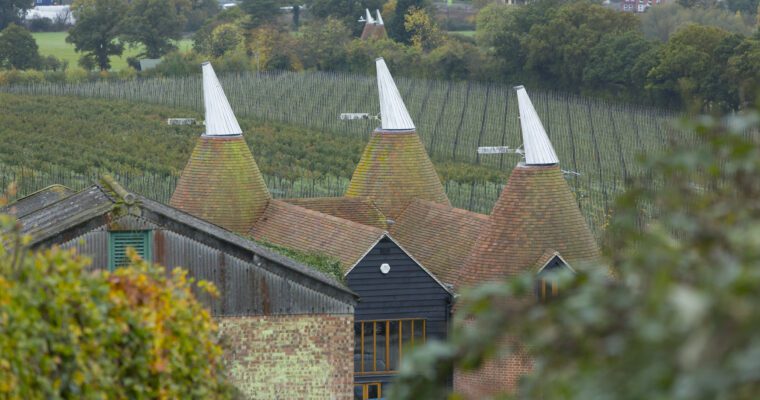
The final part of the walk takes you through the grounds of East Malling Research who carry out research and development for the crops industry and has a long involvement with the area. The original organisation – the East Malling and Wye Experimental Research Station – was set up on the site to meet the needs and concerns of local fruit growers. The horticultural scientists based at East Malling lead the field in developing new breeding methods and cultivation techniques for classic Kent fruits such as apples and strawberries. To find out more about local foods in Kent, check out Produced in Kent.
To get to this walk by bus take the Arriva bus Route 58 or bus route 72, services which run between Maidstone and Sevenoaks, both are also accessible from train stations.
Step by step guide
1. Head down Church Walk road to church gates and follow footpath through churchyard to cycle barrier. Pass through barrier and take the narrow footpath immediately on the right.
2. Beware of trains - look and listen before crossing. Go over steps to cross over railway line to continue along path other side. Continue until you reach a road.
3. Turn right along pavement for approx. 45 metres to then take the surfaced road on the left (marked with a footpath marker stone). Follow track through gate ahead to enter onto an orchard path. Keep to path through orchard. Looking behind you can catch a glimpse of the North Downs.
4. Beware of traffic. Pass gate exiting onto road and turn left. After a short distance, pass entrance to driveway on right and take signposted bridleway running alongside. Good views of the North Downs on your left.
5. Upon reaching the end of the surfaced bridleway track, bear right then left to continue ahead into woodland.
6. Reaching a crossroads, continue ahead into woodland path. Continue along this path passing over several junctions with other paths. Always follow the path ahead. This path may be muddy in places during winter, however you should be able to walk around the worst affected areas.
7. Follow path ahead, out of woodland until you come to a water tower (now converted into a private residence). Turn left to take the byway with wooden fence to left and barbed fence to right (enclosed path).
8. Continue along path until it becomes a tarmac surfaced track. Passing a road on your right. Approx 15 metres further, find a gate in the hedge on your right.
9. Go through gate and continue straight ahead across grass. Cross over two stiles/gates to continue along an enclosed path. Follow path round to right to run alongside the railway line to your left.
10. Turn left to cross footbridge and bear left to continue along path on other side of railway line. Follow onto surfaced track enclosed by fences on either side as you approach main road.
11. Cross road to enter EMR grounds and walk down surfaced road. Observe waymarking and keep to path indicated. Pass Conference Centre entrance and follow along road, bearing left to take path back to church where you started.


