The Darent Valley is one of Kent’s greatest hidden treasures with fine walking opportunities for all the family. The waymarked path is 19 miles (30.4km) long, following the meandering river from the banks of the busy River Thames at Dartford through the Kent Downs National Landscape to the Greensand Hills above Sevenoaks.
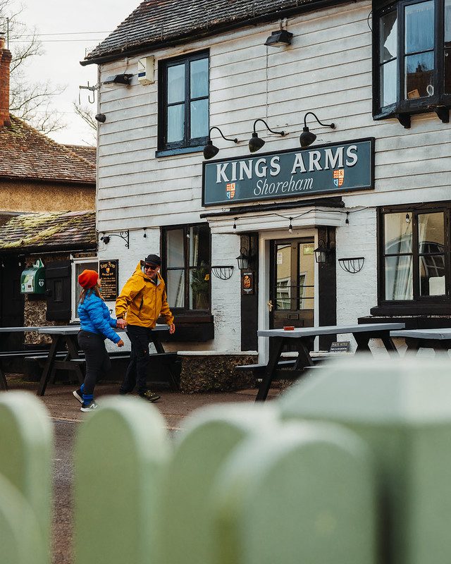
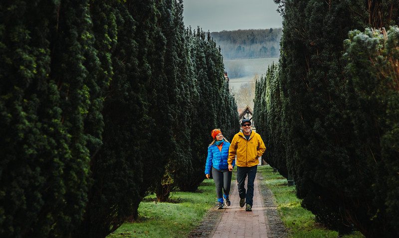
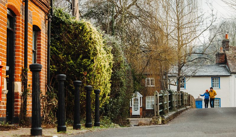
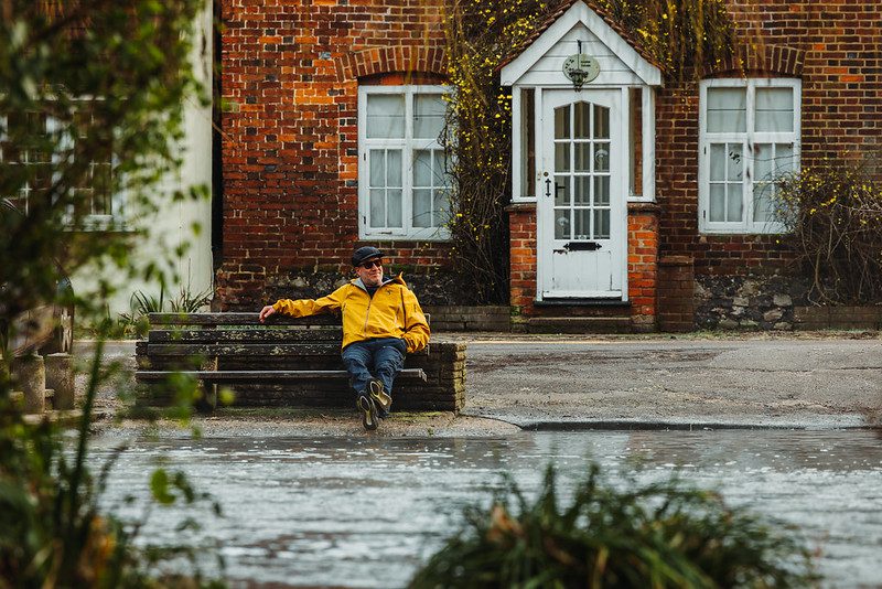
An excellent network of footpaths means there are numerous walking experiences to be enjoyed, ranging from gentle strolls between historic inns to bracing climbs to the top of the Downs with panoramic views across the valley.
There is now a new guide to the Darent Valley Path and other walks, recently published by Kent Ramblers, or why not loan a copy from Kent Libraries.
Alternatively you can follow the route using an OS Explorer Map.