Chartham North Lost Landscape Trail


Parking
In partnership with Kent Downs National Landscape
The 3.5 mile Chartham north trail follows the North Downs Way through the northern part of the parish, focusing on local field names.
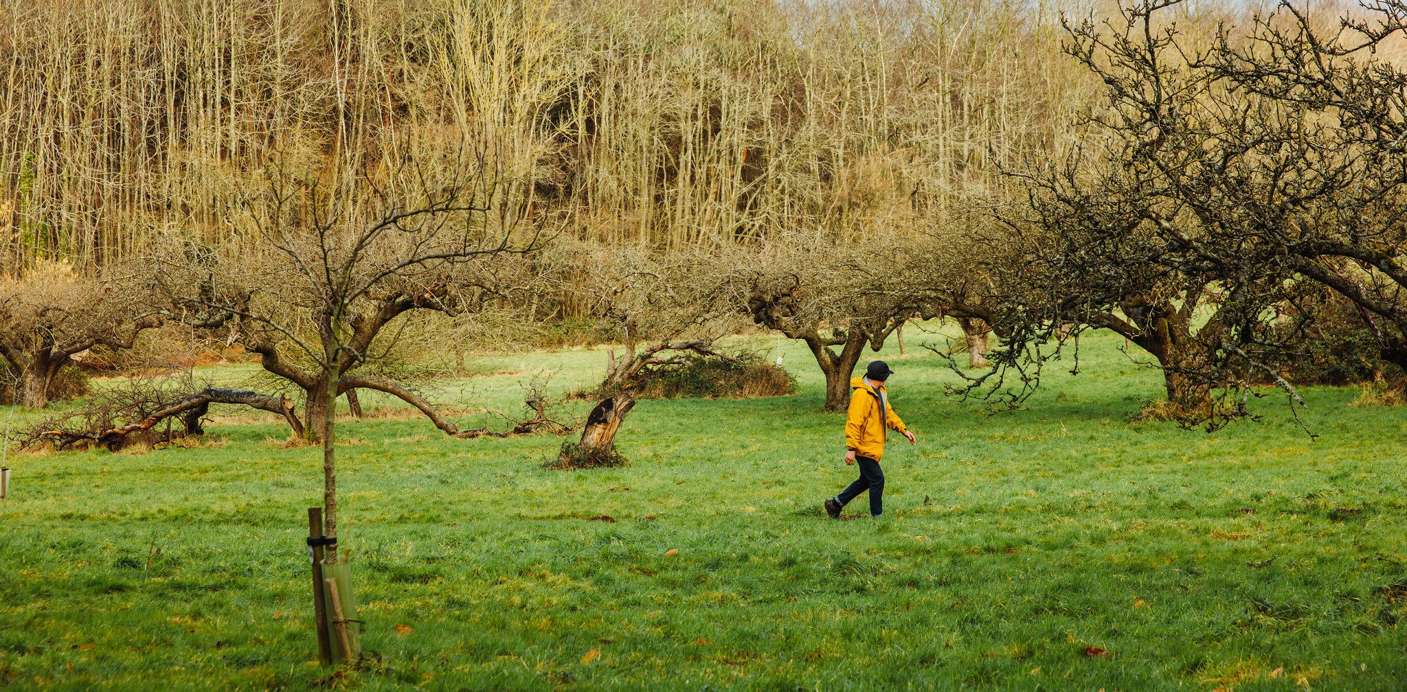
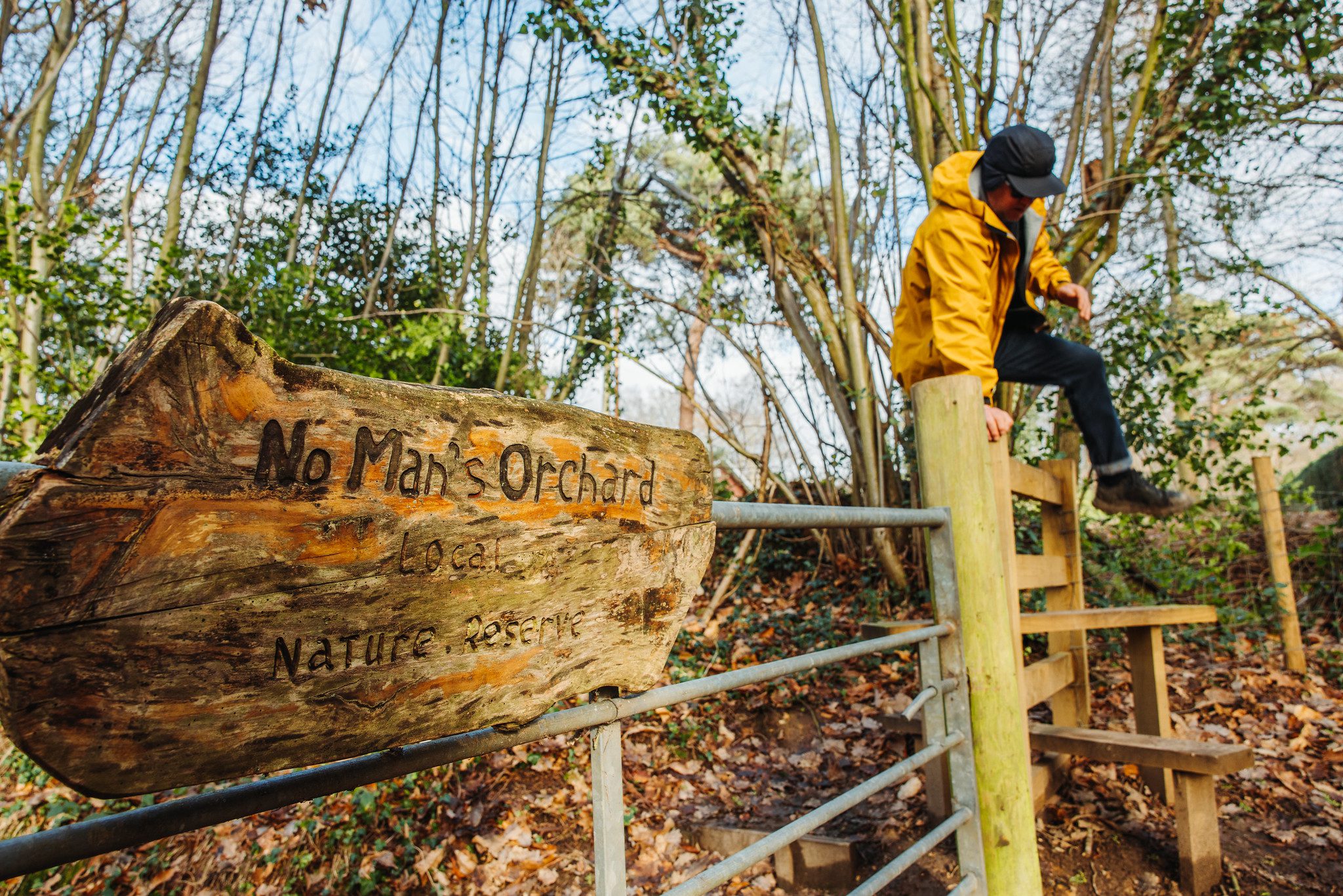
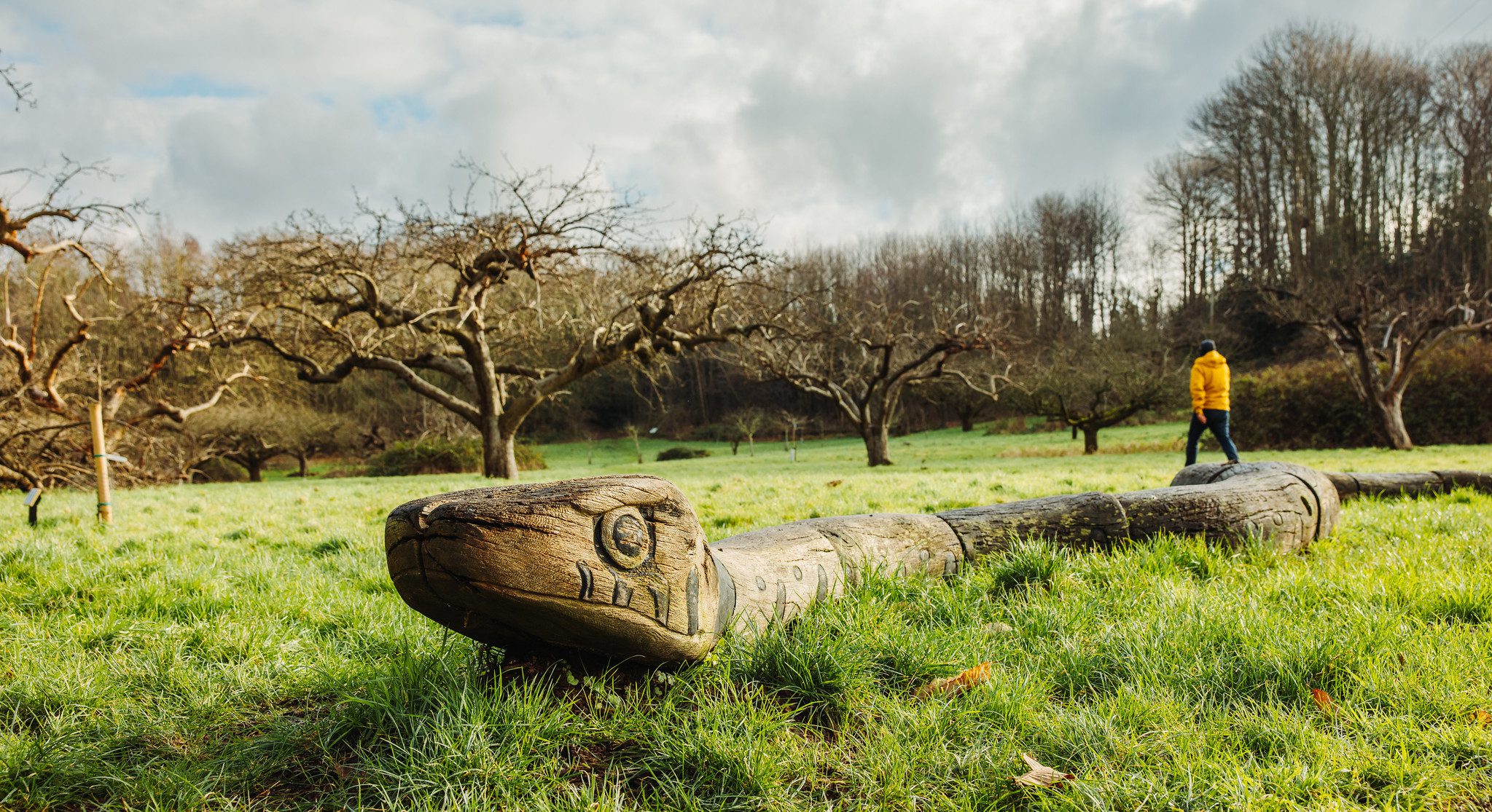
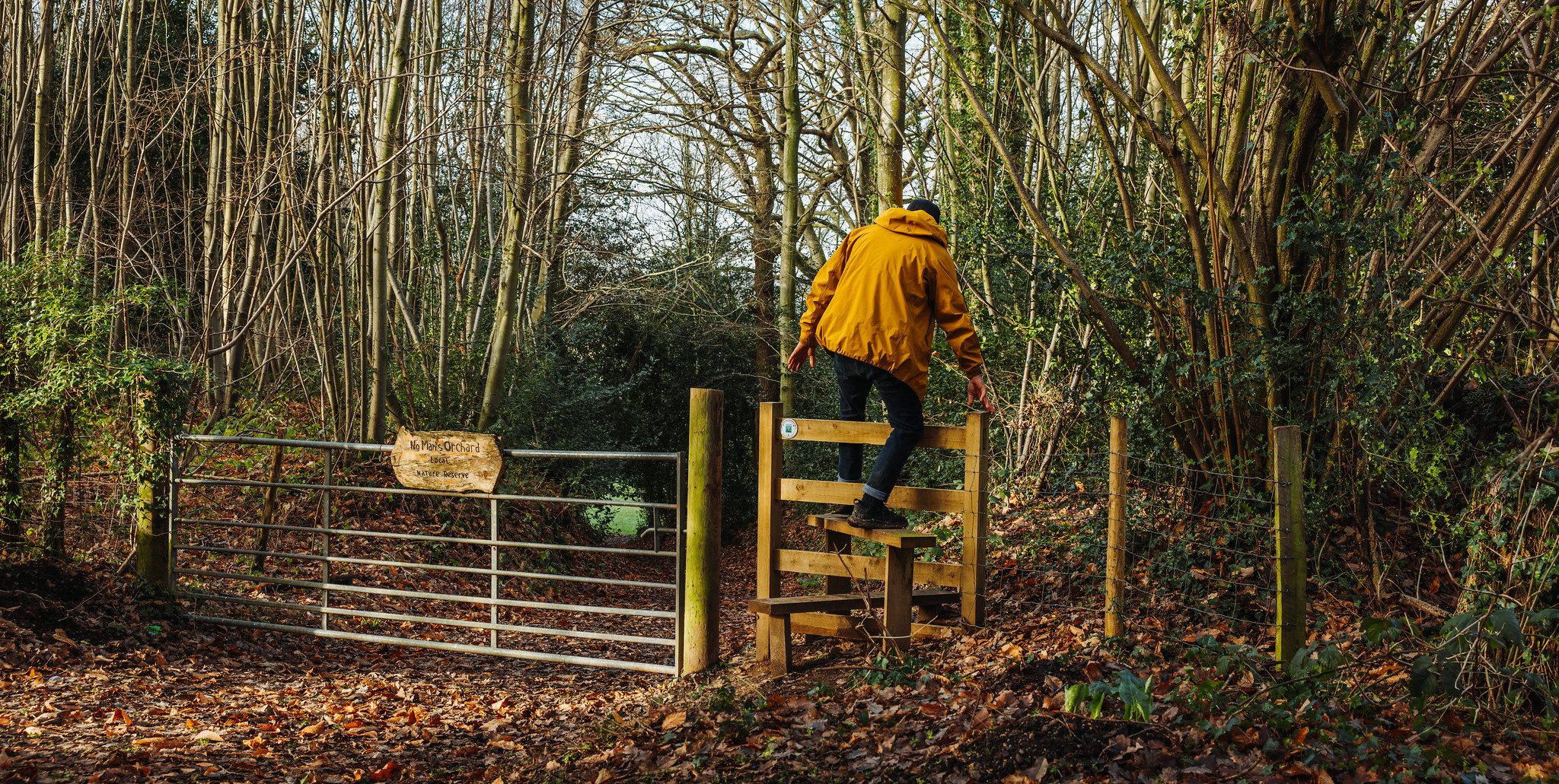
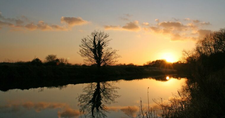
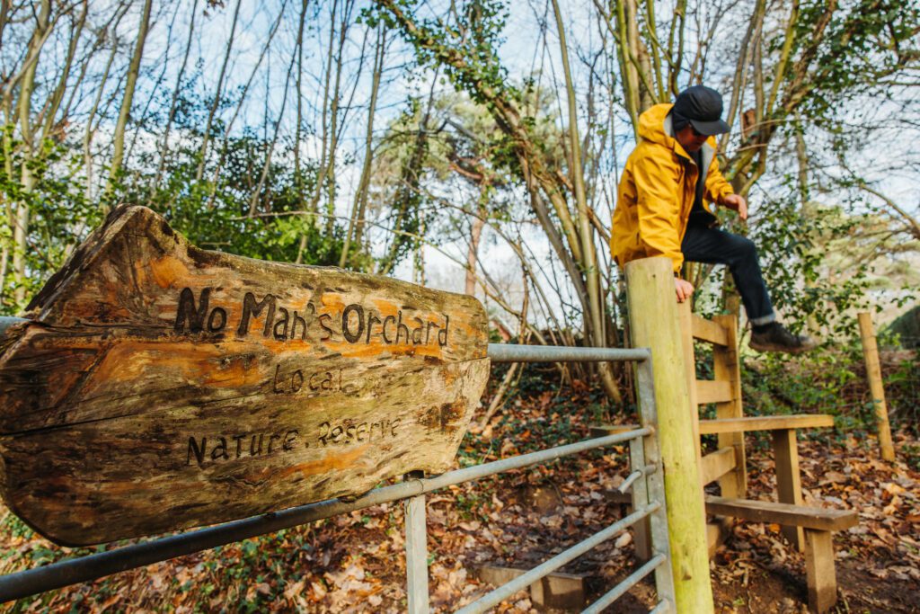
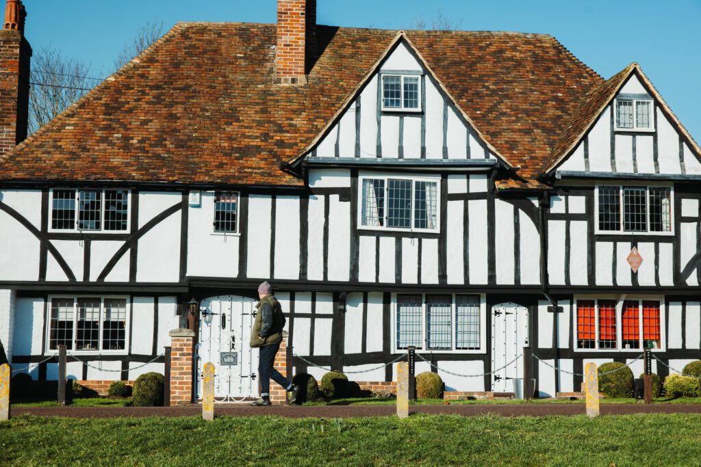
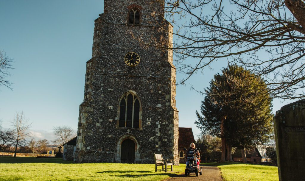
An ancient burial ground, a tiny medieval church and Britain’s first orchard nature reserve. These are just some of the highlights on the Lost Landscape Heritage Trails from Chartham – circular walks from the North Downs Way National Trail.
The Chartham Heritage Trails have been carefully designed to take in the best heritage features of the area. As you walk you will find that the history has been brought to life by the contributions of local people.
This walk has been created by the North Downs Way National Trail and uses a section of the North Downs Way.
Map is loading...