Charing East Lost Landscape walk
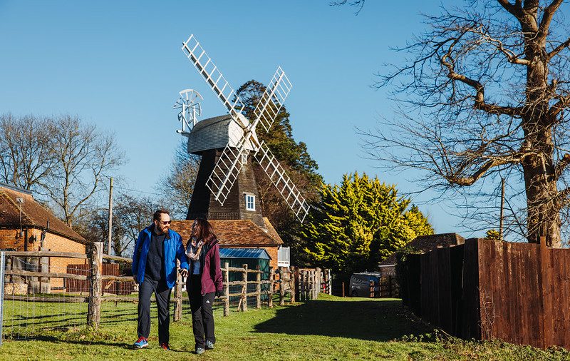
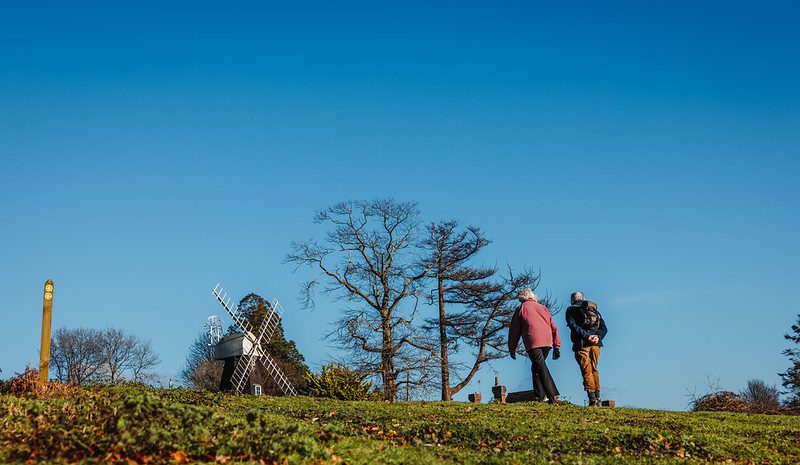

This 6.4 mile trail takes you south-east of the village, past buildings of many ages, then up onto the downs, culminating with the superb views near Charing windmill.
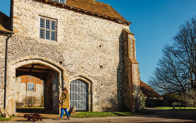
A lost heathland, a woodland that’s been moved and a special map belonging to an anonymous contributor. These are just some of the highlights on the Lost Landscape Heritage Trails from Charing – two circular walks from the North Downs Way National Trail.
The Charing Heritage Trails have been carefully designed to take in the best heritage features of the area. As you walk you will find that the history has been brought to life by the contributions of local people.
This walk has been created by the North Downs Way National Trail and uses a section of the North Downs Way.
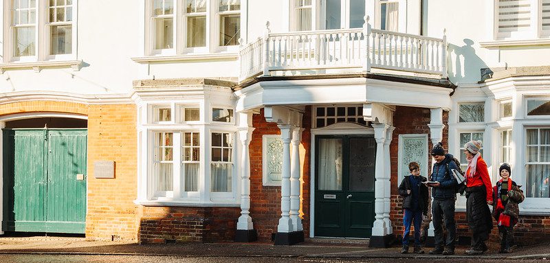
This walk is particularly beautiful in the Winter with frost and snow dusting the rooftops of the town making it feel like a scene from a Christmas card!