Darent Valley Rail Trails – Chalk and Pilcher
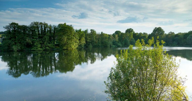
A 6 mile walk between Eynsford and Otford with a dry valley and superb views, plus a monument to early aviation pioneer, Percy Pilcher, and a former golf course reverting to nature.
Whether you have an hour or a whole day, the Darent Valley Trails app, downloadable free from the App Store and Google Play, will take you on a magical tour through a rich heritage of history, meadows, valleys and streams, lavender fields, mills, and wildlife, along waymarked paths, with a distance to suit everybody.
There are 17 new new Rail Trails in West Kent, with the choice of both circular and linear routes ranging from 2.5 to 9 miles. All the routes start and end at mainline train stations, so you can go green and leave the car at home. Once you’ve downloaded the app, the trails can be used offline as you explore the remote and tranquil countryside.
Chalk and Pilcher
- Walk up a dry valley that cuts across the Downs
- See an abandoned golf course reverting back to nature
- A chance to visit a monument to the aviation pioneer, Percy Pilcher
- Visit two Sites of Special Scientific Interest (SSSI)
- Enjoy spectacular views from Fackenden Down above Otford