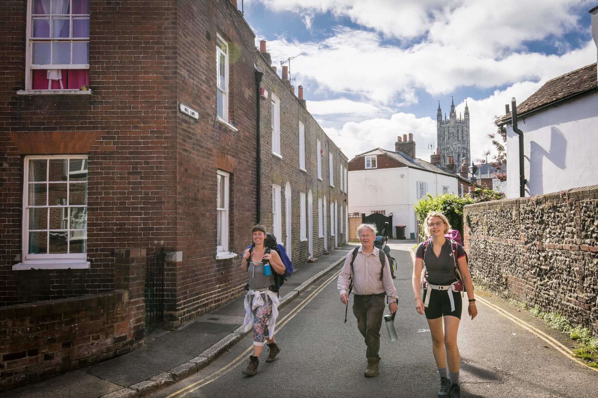
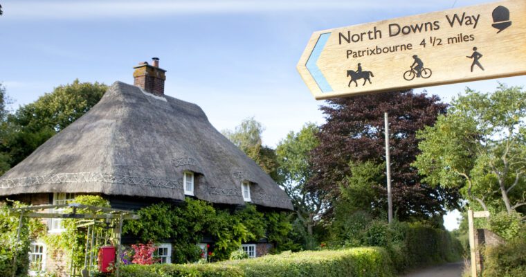
Canterbury City Pilgrim Tour
Take the Pilgrims Way through medieval Canterbury's less frequented streets. The walk will reveal riverside gardens, tiny chapels and ancient hospitals where poor pilgrims lodged and are still used today.


Step by step guide
1. Walk towards the junction with St Dunstan's Street
2. Walk uphill to St Dunstan's Church
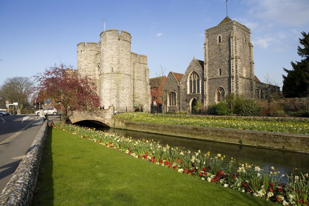
3. From here walk eastwards along St Dunstan's Road to Westgate
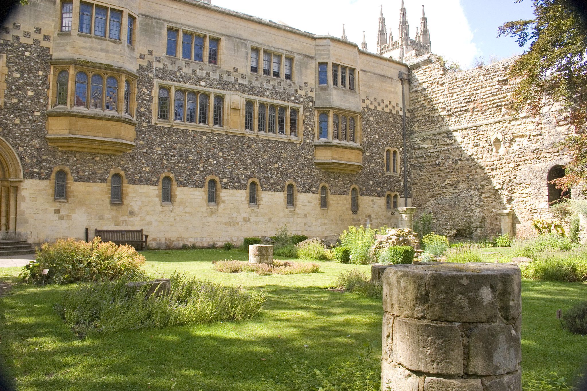
4. Continue eastwards along St Peter's Street to Franciscan Gardens, Greyfriars
5. Walk across King's Bridge to the Hospital of St Thomas, Eastbridge
6. Walk a short distance eastwards to the junction of St Peter's Street and Stour Street
7. Proceed down Stour Street to the Poor Priests Hospital
8. Continue southwards to the corner of Stour Street and Hospital Lane
9. Walk up Hospital Lane to Castle Street
10. Continue northwards up Castle Street to the junction with Beer Cart Lane
11. Continue directly across Beer Cart Lane onto St Margaret's Street until you reach the junction with The Parade
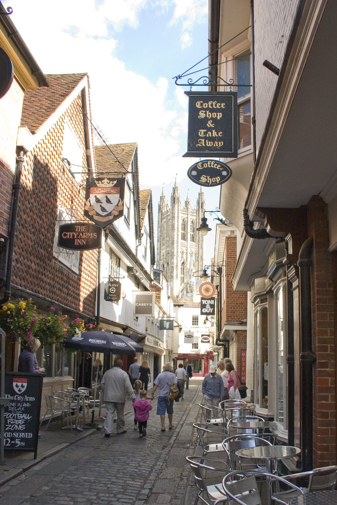
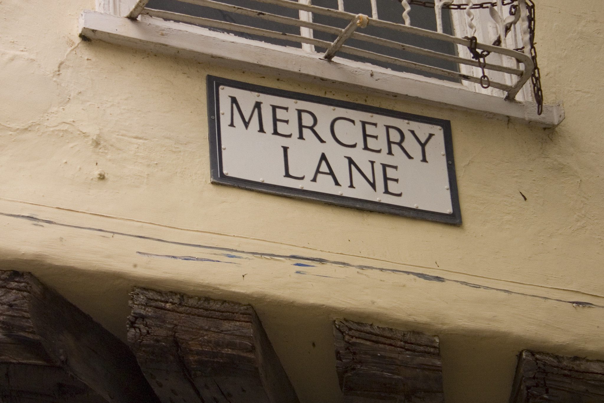
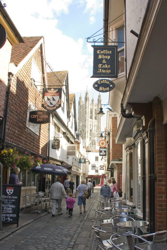
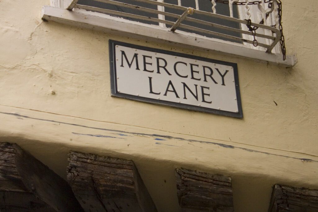
12. Continue northwards up Mercery Lane to the Christchurch Gate on the corner of Burgate and Sun Street
13. Head eastwards down Burgate to the crossing with Broad Street
14. Continue up Church Street to the old Augustinian cemetery gate at the intersection of Monastery Street and Love Lane
15. Travel a short distance along Love Lane to the corner of Longport
16. Follow Longport eastwards to the entrance of the former Abbey of St Augustines
17. Continue to the left of the roundabout straight up Longport and North Holmes Road
18. Walk up North Holmes Road to the Lych gate of St Martin's church, then retrace your steps to the corner of Love Lane and Longport
19. Pass through Love Lane which continues on as Monastery Street until you come to the abbey gates of St Augustine's
20. From the gate cross Lady Wooton's Green to the crossing on Broad Street
21. With the walls of the city to you left, proceed past the building of the Canterbury Archaeological Trust to the continuation of Broad Street
22. Continue down Broad Street to where it meets Northgate
23. Proceed northwards to the gates of St John's Hospital
24. Retrace your steps but continue straight on down Northgate from where it turns into The Borough and onto Mint Yard Gate on the left
25. Follow The Borough for a short distance until it becomes King Street. Continue until you reach the entrance to the Old Synagogue
26. Continue along King Street to the corner of Blackfriars Street
27. Continue along King Street to where it meets The Friars
28. Turn down The Friars and head over the bridge. Before reaching The Marlowe Theatre, leave the road to take the Victoria Walk
29. Bear right along the river to follow The Victoria Walk to Solley's Orchard
30. Turn right from The Victoria Walk before it joins St Peter's Lane and take the walled doorway into the riverside walk of Solley's Orchard leading across the weir and down to the exit at Pound Lane
31. Take Pound Lane as far as the junction with The Causeway
32. Take The Causeway as short distance to join the footpath towards the river
33. Take the footpath through Miller's Green that leads to the bridge over the river
34. After crossing the bridge, take the path southwards along the River Stour and past the city wall to Westgate
35. Walk back up St Dunstan's Street and continue to the junction with Station Road West
36. Proceed to the end of the route and return to the train station or car park

