Active Travel in Crockenhill
Crockenhill, Swanley Footpath Upgrades
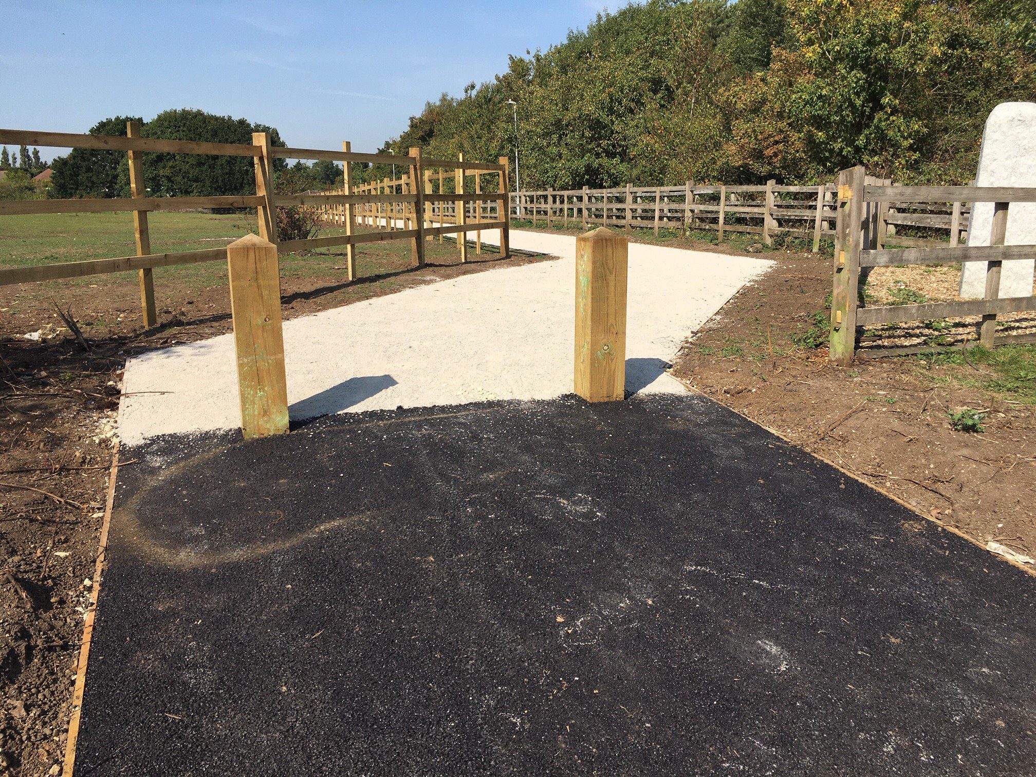
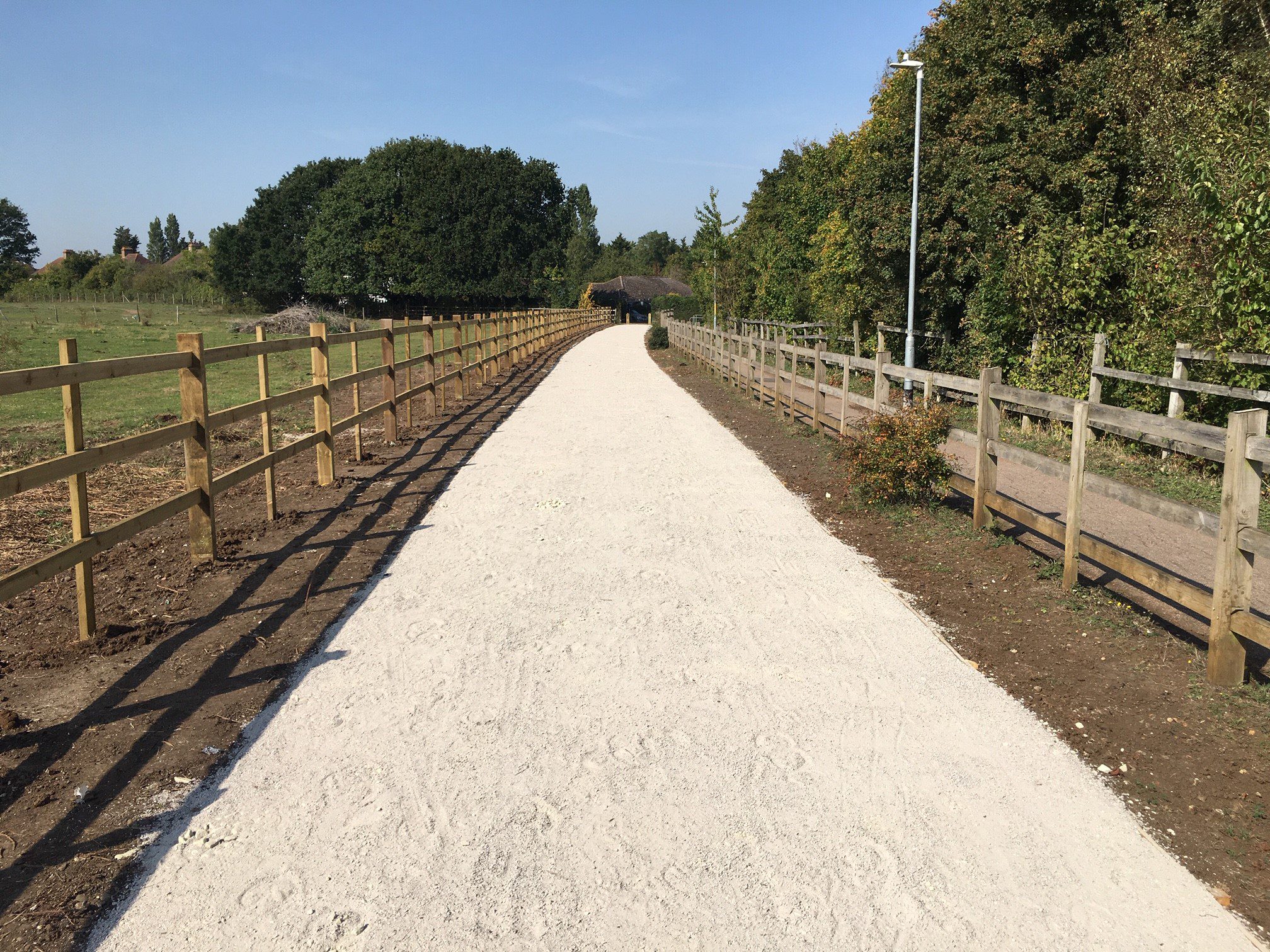
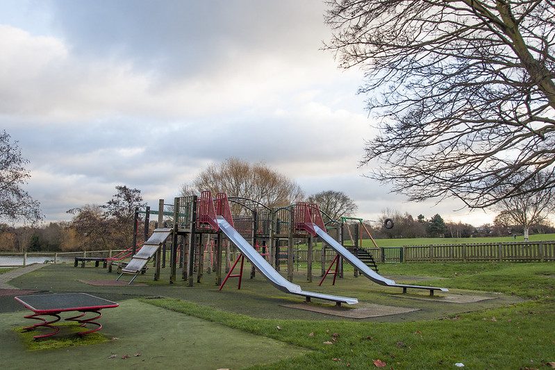
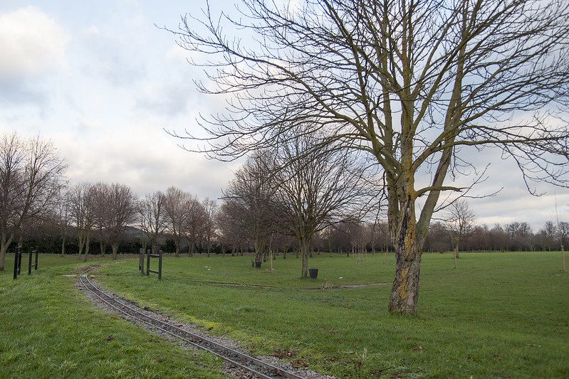
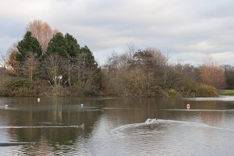
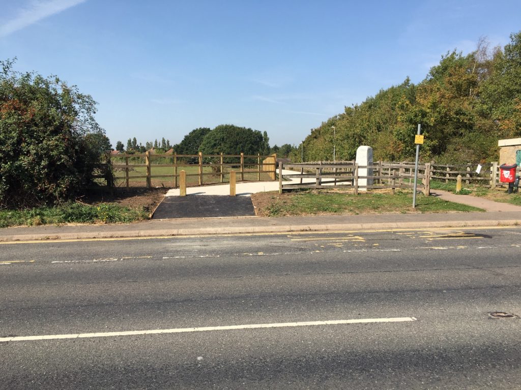
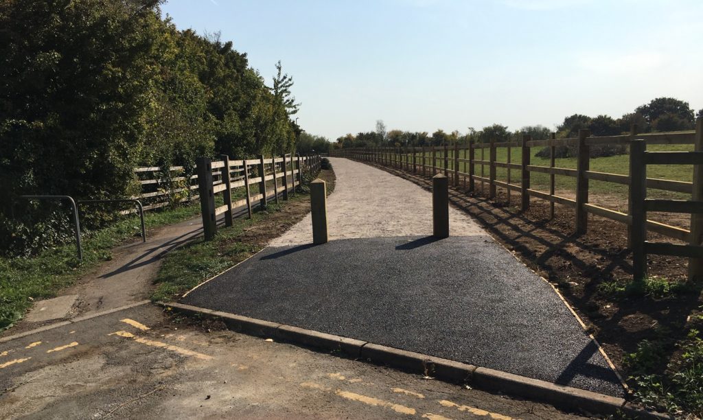
Thanks to funding from the Department for Transport, KCC has made significant improvements to the footpath and byway network linking Swanley with the area of Crockenhill and Eynsford. These improvements are centred on the catchment area of Crockenhill Primary School on Stones Cross Road.
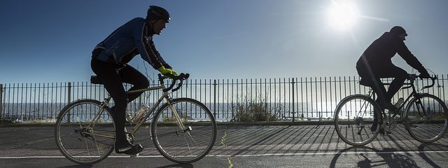
The footpath enhancements include resurfacing and vegetation clearance to widen the routes, making it easier and safer for children walking to school. It also connects to the retail centre of Swanley and provides easy links to bus stops, encouraging local people to consider active travel and public transport as an alternative to driving. The map shows safe places to drop children off for school and road closure zones helping to plan a safe and healthy school journey.
Other schools are also included in the map:
- Orchards Academy
- Dawn to Dusk Day Nursery
- SupaJam College
- Centre Class Pupil Referral Unit
- High Firs County Primary School
Take a look at the map below and see how you can use the network to plan your active travel journey.