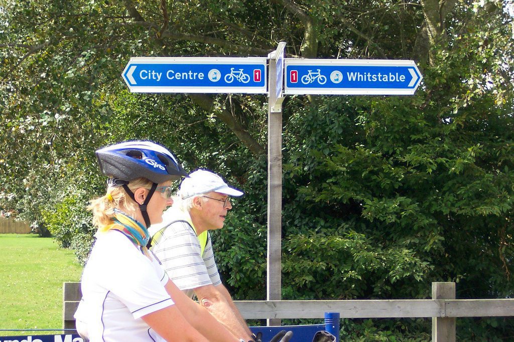
Active Travel in Canterbury, Crab and Winkle Way
Canterbury end of Crab & Winkle Way Upgrades
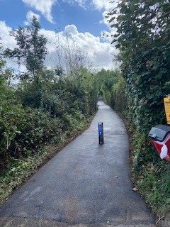
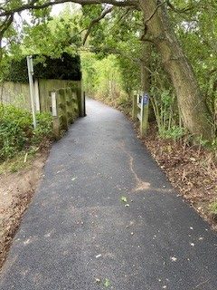
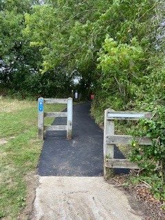
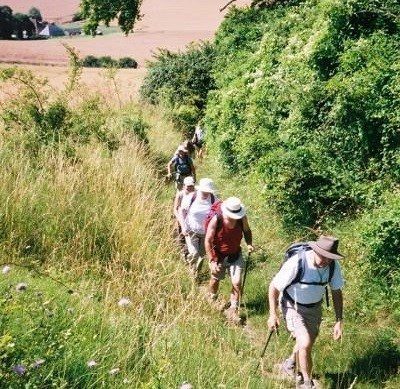
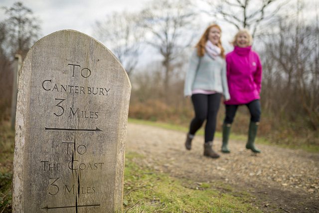
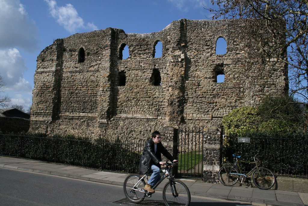
The Crab and Winkle Way ends in Canterbury with an on-road section along Whitehall Road and goes over the railway crossing. It passes Linden Chase then turns right onto St Dunstans Street before turning left into Pound Lane (passing Westgate Towers Museum and Viewpoint) in an area called the “King’s Mile”. The route finishes at The Causeway, close to Canterbury West Railway Station and the King’s School.
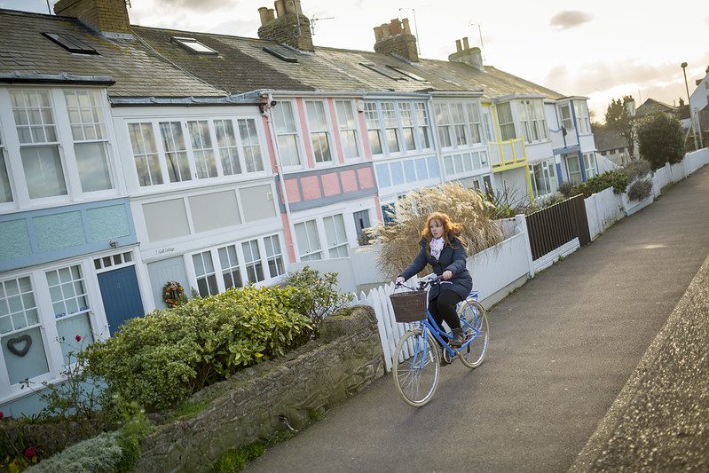
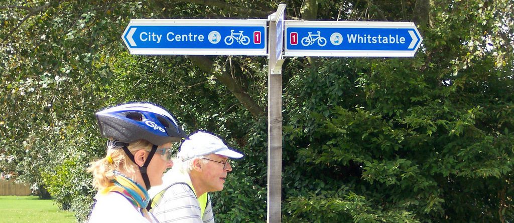
Focusing on the King’s Mile area of Canterbury, the improvements made with the Department for Transport Active Travel Fund will identify safe cycling routes to Canterbury Christ Church University, the University for the Creative Arts, Canterbury College and Barton Court Grammar school.
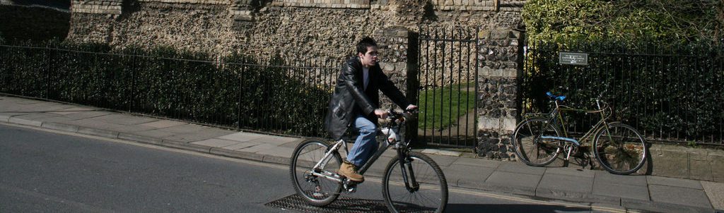
The Kings Mile is centred around the King’s School, a focal point of the city which has easy access to the main retail areas, the Cathedral, The Beaney House of Art and Knowledge and St Augustine’s Abbey to name but a few attractions. From the King’s School it is a six-minute bicycle ride to reach the main university hubs of Canterbury Christ Church, and the University of Creative Arts. To the East is Wincheap Industrial Estate with Canterbury East Station nearby.
Take a look at the map below and see how you can use the network to plan your active travel journey.