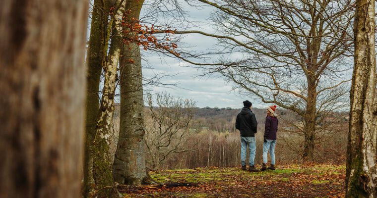
Chartham South Lost Landscapes walk
This 6.35 mile trail takes you alongside the River Stour, past the tiny ancient settlements of Horton and Milton, then through ancient woodland, culminating with the spectacular views and prehistoric heritage of Chartham Downs.
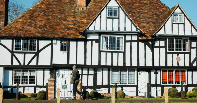
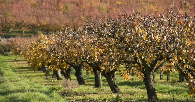
An ancient burial ground, a tiny medieval church and Britain’s first orchard nature reserve. These are just some of the highlights on the Lost Landscape Heritage Trails from Chartham – circular walks from the North Downs Way National Trail.
The Chartham Heritage Trails have been carefully designed to take in the best heritage features of the area. As you walk you will find that the history has been brought to life by the contributions of local people.
This walk has been created by the North Downs Way National Trail and uses a section of the North Downs Way.